Information
Landmark: Eldorado Canyon State ParkCity: Boulder
Country: USA Colorado
Continent: North America
Eldorado Canyon State Park, Boulder, USA Colorado, North America
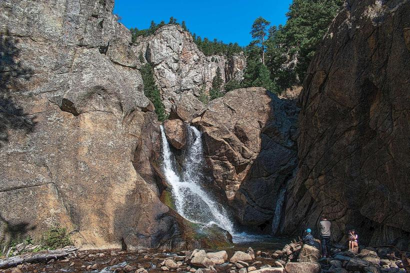
Eldorado Canyon State Park is a protected natural area situated southwest of Boulder, Colorado. It is recognized for its dramatic sandstone cliffs and the South Boulder Creek that flows through it.
Visual Characteristics
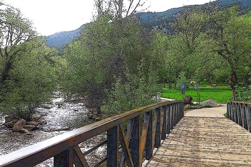
The park features sheer sandstone cliffs, some reaching over 300 feet in height. The rock formations exhibit shades of red, orange, and tan. The canyon floor is characterized by the South Boulder Creek, a clear, fast-flowing waterway, and is lined with Ponderosa pine, Douglas fir, and Gambel oak. Vegetation density varies, with more open areas near the creek and denser forest on the slopes.
Location & Access Logistics
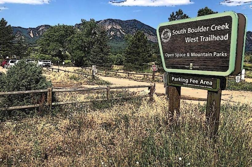
Eldorado Canyon State Park is located approximately 10 miles southwest of Boulder, Colorado. Access is via Eldorado Springs Drive (County Road 67). The drive from Boulder city center is approximately 20 minutes. Parking is available at the main lot near the park entrance, which has a capacity of approximately 100 vehicles. During peak seasons, parking can fill quickly, and overflow parking may be utilized. Public transport options are limited; the closest RTD bus route stops in Eldorado Springs, requiring a walk or shuttle service to the park entrance.
Historical & Ecological Origin
The geological formations within Eldorado Canyon State Park are primarily composed of Fountain Formation sandstone, dating back to the Pennsylvanian period (approximately 300 million years ago). The canyon itself was carved by the erosive power of South Boulder Creek over millennia. Historically, the area was utilized by Native American tribes and later became a site for mining and recreation in the late 19th and early 20th centuries. It was established as a state park in 1979.
Key Highlights & Activities
Rock climbing is a primary activity, with over 500 established routes catering to various skill levels. Hiking trails include the Fowler Trail, which follows South Boulder Creek, and the Rattlesnake Gulch Trail, offering panoramic views. Birdwatching is popular, with opportunities to observe raptors and other avian species. Fishing is permitted in South Boulder Creek, subject to Colorado fishing regulations.
Infrastructure & Amenities
Restrooms are available at the main parking area. Shaded picnic areas are located near the park entrance. Cell phone signal (4G/5G) is intermittent within the canyon. There are no food vendors within the park; visitors are advised to bring their own provisions. Water fountains are available at the main trailhead.
Best Time to Visit
For photography, early morning and late afternoon offer optimal lighting on the canyon walls. The best months for visiting are typically May through October, offering pleasant temperatures for outdoor activities. Spring (April-May) can bring higher water levels in the creek. Winter months can see snow and ice, impacting trail conditions and climbing access.
Facts & Legends
A notable historical oddity is the presence of the ruins of the Eldorado Springs Amusement Company's pavilion and bathhouse, remnants of a once-popular resort from the early 20th century. A specific tip for visitors is to check the park's website for climbing route closures due to peregrine falcon nesting, which occurs annually.
Nearby Landmarks
- Eldorado Springs Pool (0.8km Northeast)
- Red Rocks Park and Amphitheatre (15km Southeast)
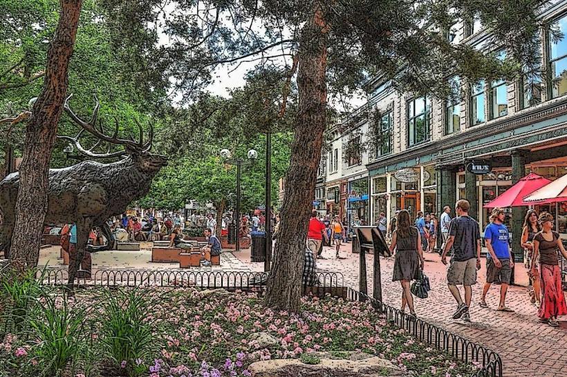
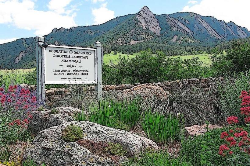
- Chautauqua Park (8km North)
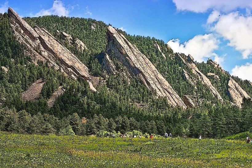
- Flatirons (9km North)
- Boulder Reservoir (12km Northeast)