Information
Landmark: Boulder Creek PathCity: Boulder
Country: USA Colorado
Continent: North America
Boulder Creek Path, Boulder, USA Colorado, North America
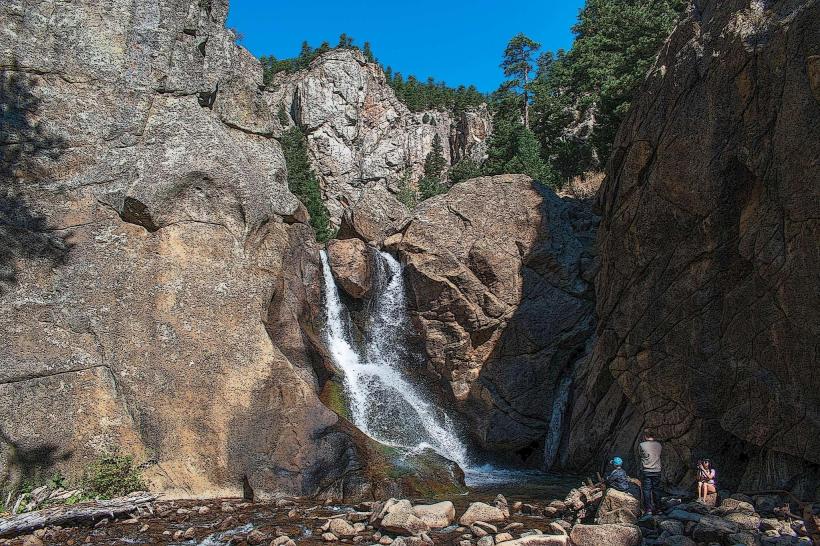
Boulder Creek Path is a paved multi-use trail traversing Boulder, Colorado. It follows the course of Boulder Creek for approximately 5.5 miles.
Visual Characteristics
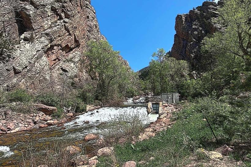
The path is constructed of asphalt, averaging 10 feet in width. It is bordered by riparian vegetation including cottonwood trees, willows, and various grasses. The creek itself exhibits clear water with a rocky bed, varying in width from 15 to 40 feet. Elevation gain is minimal, with a gradual incline from west to east.
Location & Access Logistics
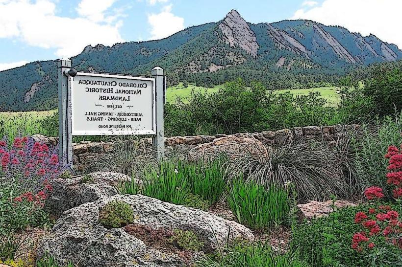
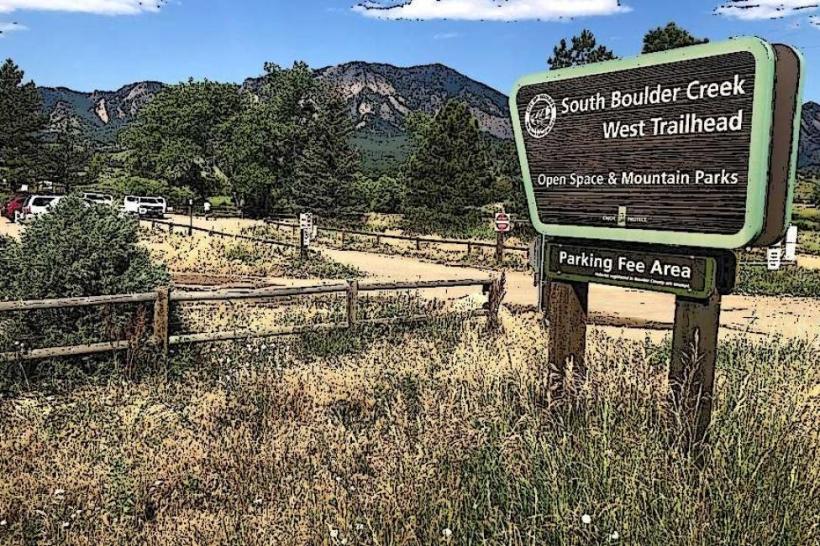
The path begins at the base of the Flatirons in Chautauqua Park, located approximately 2 miles southwest of downtown Boulder. Access points are numerous along its length. Parking is available at Chautauqua Park (fee-based), and various street parking locations in residential areas adjacent to the path. Public transport options include RTD bus routes 10 and 11, with stops near the eastern terminus of the path in downtown Boulder.
Historical & Ecological Origin
Boulder Creek is a natural waterway originating in the Front Range of the Rocky Mountains. The path was developed in phases, with initial construction beginning in the late 1960s to provide recreational access and flood control. It is classified as a riparian corridor within a montane ecosystem.
Key Highlights & Activities
Activities include walking, jogging, cycling, and inline skating. Fishing is permitted in designated sections of Boulder Creek. Picnicking is possible at several designated areas along the path. Kayaking and tubing are seasonal activities, dependent on water flow levels.
Infrastructure & Amenities
Restrooms are located at major access points, including Chautauqua Park and Eben G. Fine Park. Shade is provided by mature trees along most of the path. Cell phone signal (4G/5G) is generally consistent. Food vendors are not directly on the path but are available in nearby commercial districts.
Best Time to Visit
For photography, early morning (7-9 AM) offers favorable lighting conditions with fewer users. The best months for comfortable outdoor activity are April through October. High water flow, suitable for tubing, typically occurs from May to July.
Facts & Legends
A historical marker near the Broadway Street bridge details the creek's role in early Boulder settlement and its impact on the town's development. Local lore sometimes refers to the creek as a "living artery" of the city.
Nearby Landmarks
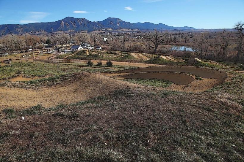
- Chautauqua Park (0.1km West)
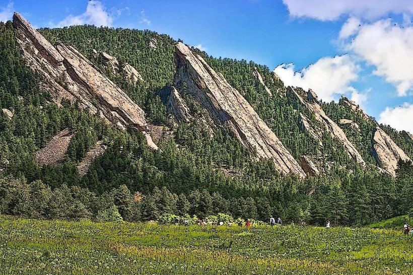
- Flatirons (1km West)
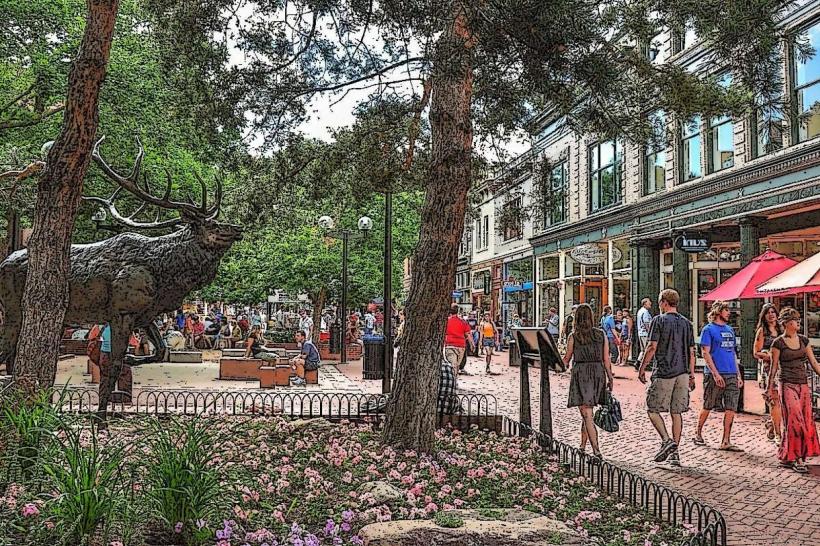
- Pearl Street Mall (2km East)
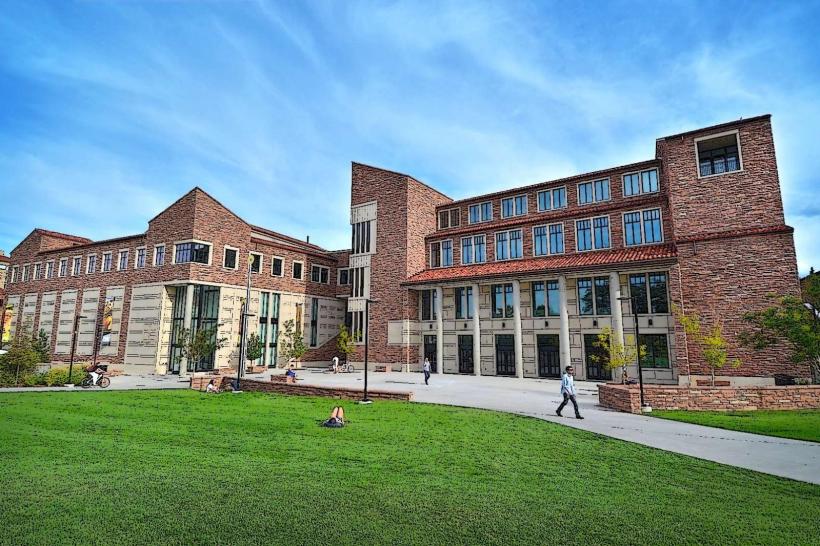
- University of Colorado Boulder (3km East)
- Eben G. Fine Park (1.5km East)