Information
Landmark: South Boulder Creek TrailCity: Boulder
Country: USA Colorado
Continent: North America
South Boulder Creek Trail, Boulder, USA Colorado, North America
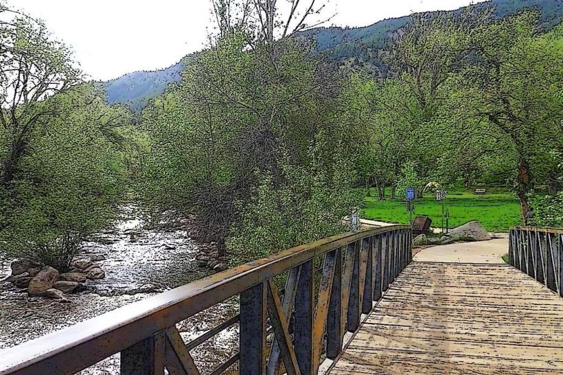
The South Boulder Creek Trail is a multi-use path located in Boulder, Colorado, USA. It extends for approximately 4.5 miles, connecting various parks and neighborhoods within the city.
Visual Characteristics
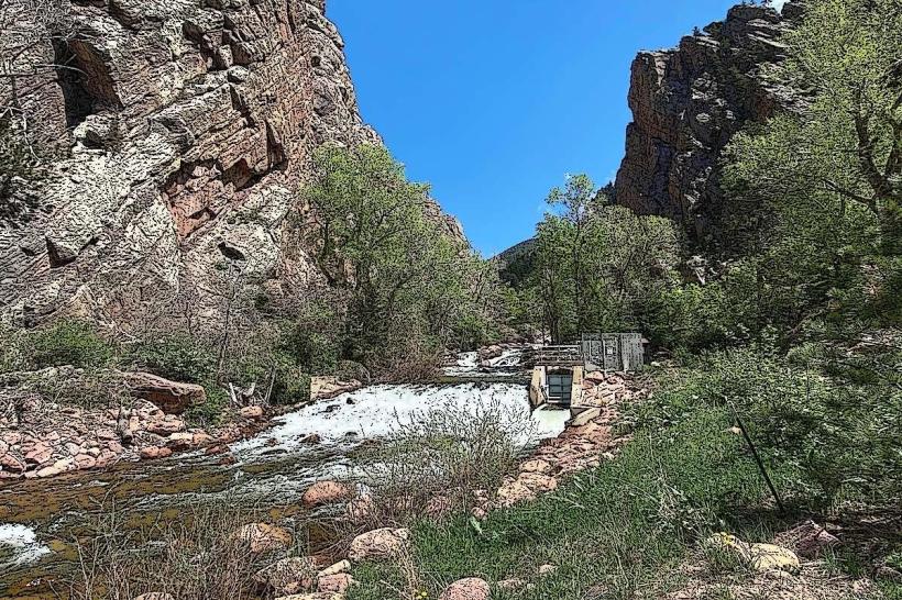
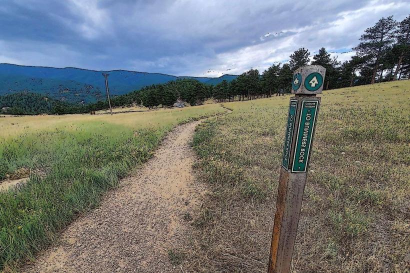
The trail is primarily paved asphalt, with some sections of packed gravel. It follows the course of South Boulder Creek, which varies in width and depth depending on seasonal water flow. The surrounding vegetation consists of native grasses, cottonwood trees, and occasional ponderosa pines. The terrain is generally flat to gently rolling.
Location & Access Logistics
The trail can be accessed from multiple points. A primary access point is at the South Boulder Recreation Center, located at 1360 South Broadway. From downtown Boulder, take Broadway south for approximately 1.5 miles. Parking is available at the South Boulder Recreation Center and at various trailheads along its length, including those at Wonderland Hill Park and Shanahan Ridge Park. Public transport options include the RTD bus lines 10 and 19, which stop near the South Boulder Recreation Center.
Historical & Ecological Origin
The South Boulder Creek Trail was developed as part of Boulder's open space and greenway system, with initial construction beginning in the late 1980s. Its purpose was to provide recreational access and wildlife corridors along the creek. Ecologically, the area is part of the Front Range foothills ecosystem, supporting riparian habitats.
Key Highlights & Activities
Activities include walking, running, cycling, and in-line skating. Birdwatching is common along the creek. The trail connects to other trail systems, such as the Wonderland Hill Trail and the Shanahan Ridge Trail, allowing for longer excursions into the foothills.
Infrastructure & Amenities
Restrooms are available at the South Boulder Recreation Center and at Wonderland Hill Park. Shade is provided by mature trees in certain sections. Cell phone signal (4G/5G) is generally available along most of the trail. No food vendors are directly located on the trail, but amenities are available near access points like the South Boulder Recreation Center.
Best Time to Visit
For photography, early morning or late afternoon light offers optimal conditions. The best months for comfortable outdoor activity are April through October, avoiding the winter months when snow and ice can make the trail hazardous. Water levels in South Boulder Creek are typically highest in late spring and early summer due to snowmelt.
Facts & Legends
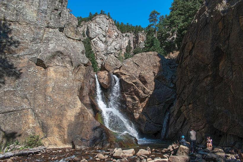
A specific geological feature along the trail is a series of small, natural rock dams formed by sediment and vegetation, which create shallow pools. Local lore sometimes refers to these as "fairy pools," though they are a natural phenomenon.
Nearby Landmarks
- Wonderland Hill Park (0.2km West)
- South Boulder Recreation Center (0.1km East)
- Shanahan Ridge Park (1.5km Southwest)
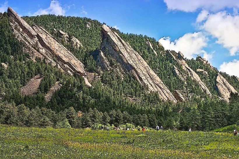
- Eldorado Canyon State Park (4.0km West)
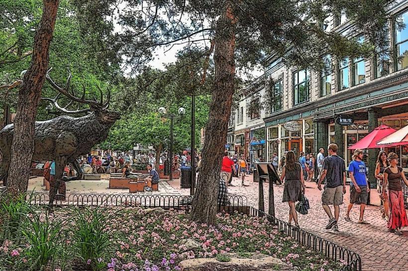
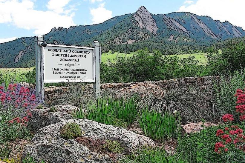
- Chautauqua Park (3.5km Northwest)