Information
Landmark: FlatironsCity: Boulder
Country: USA Colorado
Continent: North America
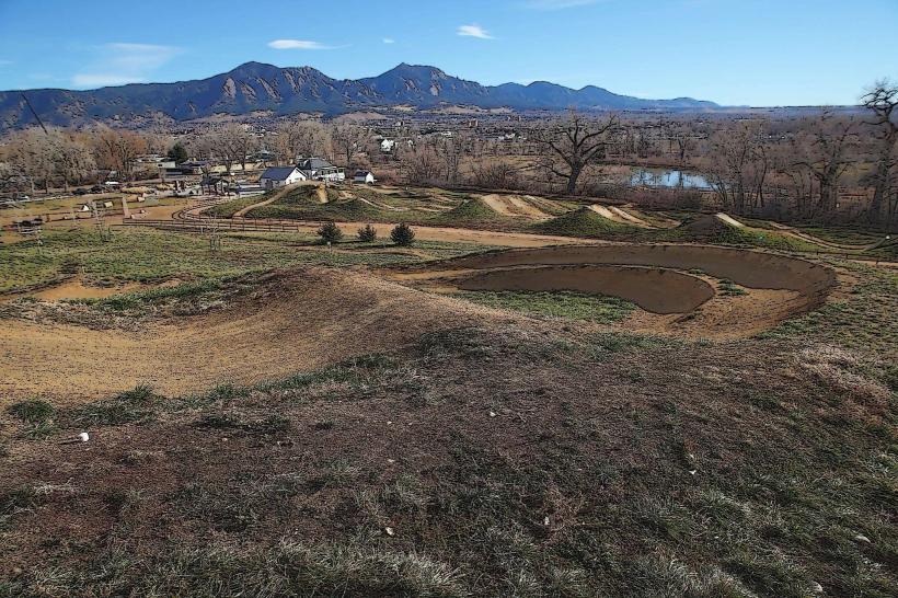
Flatirons, Boulder, USA Colorado, North America
The Flatirons are a series of prominent rock formations located west of Boulder, Colorado. They are composed of tilted sedimentary rock layers.
Visual Characteristics
The formations consist of five distinct, steeply tilted slabs of reddish-brown sandstone. They rise approximately 1,000 to 1,400 feet above the surrounding terrain. The rock faces exhibit distinct horizontal bedding planes and vertical jointing.
Location & Access Logistics
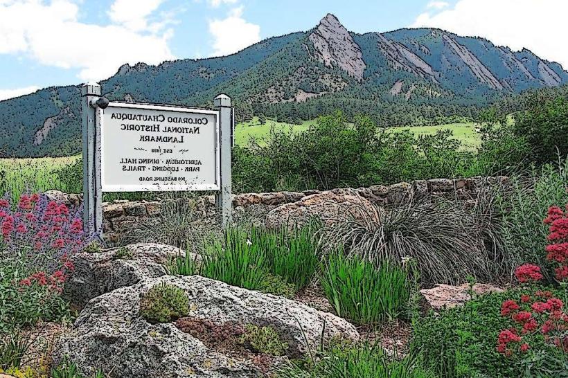
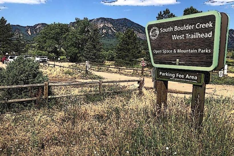
The Flatirons are situated approximately 3 miles west of downtown Boulder. Access is primarily from the Chautauqua Park trailhead, located at 900 Baseline Road. Ample parking is available at Chautauqua Park, though it can fill quickly during peak hours. Public transportation is available via the RTD bus system; Route 2 (Baseline Road) stops near the park entrance.
Historical & Ecological Origin
The Flatirons are part of the Fountain Formation, a geological unit dating back to the Pennsylvanian and Permian periods (approximately 300 million years ago). These formations were created by ancient sand dunes that were later uplifted and tilted by tectonic forces. The current shape is a result of erosion over millions of years.
Key Highlights & Activities
Hiking trails provide access to the base and upper sections of the formations. Popular trails include the First and Second Flatiron Trail (moderate difficulty, 2.4 miles roundtrip) and the Third Flatiron Trail (strenuous, 2.5 miles roundtrip). Rock climbing is a common activity on the designated routes. Photography is popular, particularly during sunrise and sunset.
Infrastructure & Amenities
Restrooms are available at the Chautauqua Park Ranger Cottage and picnic areas. Shade is limited on the trails, with some provided by pine and fir trees at lower elevations. Cell phone signal (4G/5G) is generally available in Chautauqua Park but can be intermittent on the trails. Food vendors are not present directly at the trailhead; dining options are available in downtown Boulder.
Best Time to Visit
For photography, early morning (sunrise) offers soft, warm light on the eastern faces. Late afternoon light is also favorable. The best months for hiking are typically May through October, avoiding winter snow and ice. High tide is not applicable to this geological formation.
Facts & Legends
The Flatirons are a prominent symbol of Boulder and are often featured in local imagery. A specific climbing route, "The Direct East Face" on the First Flatiron, is a well-known challenge for experienced climbers.
Nearby Landmarks
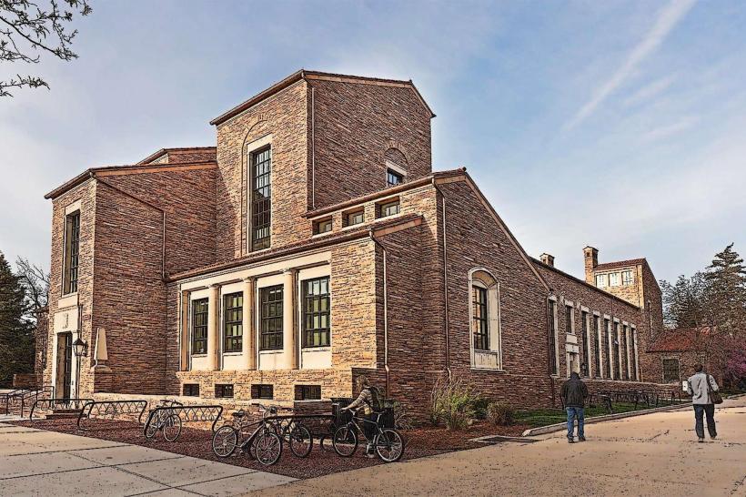
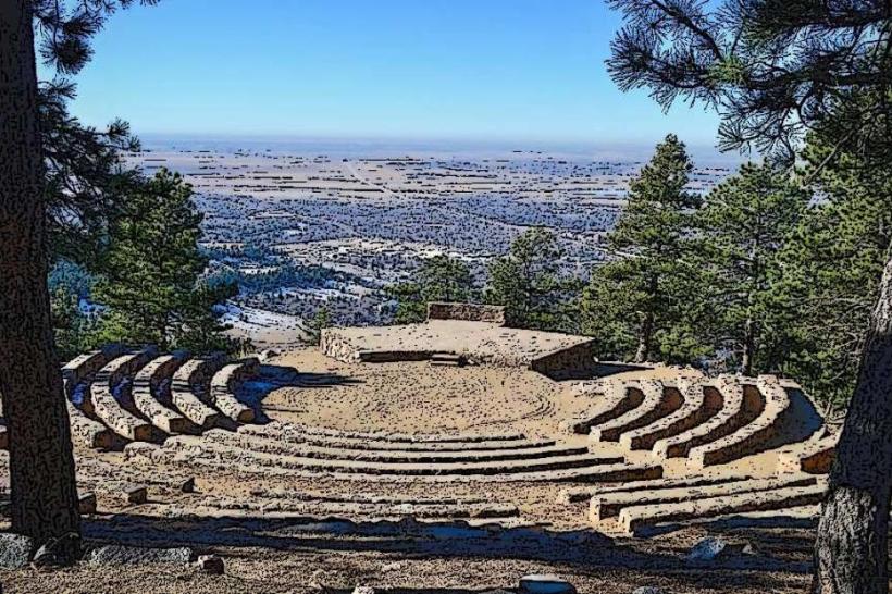
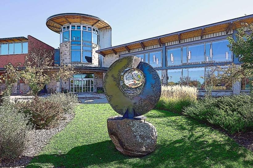
- Chautauqua Auditorium (0.2km West)
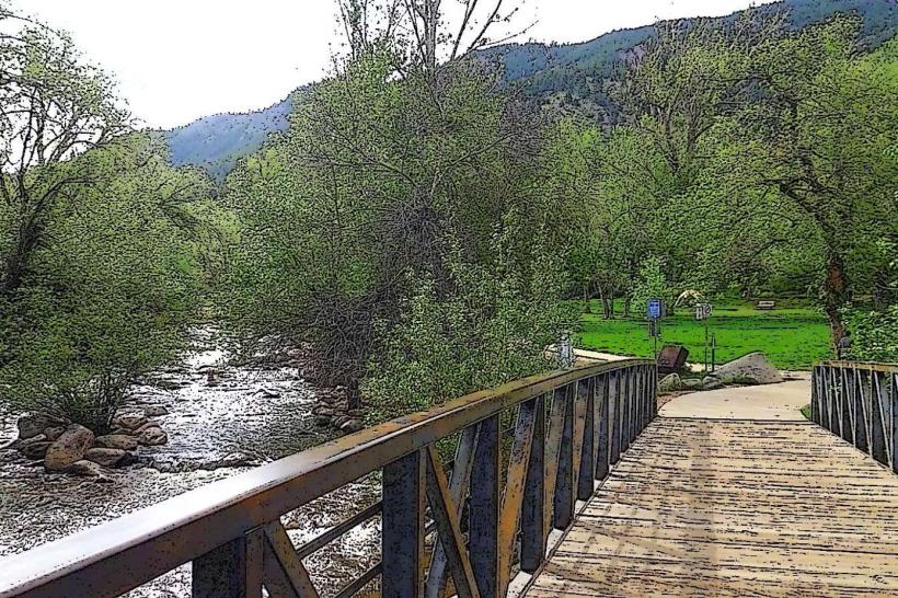
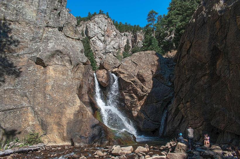
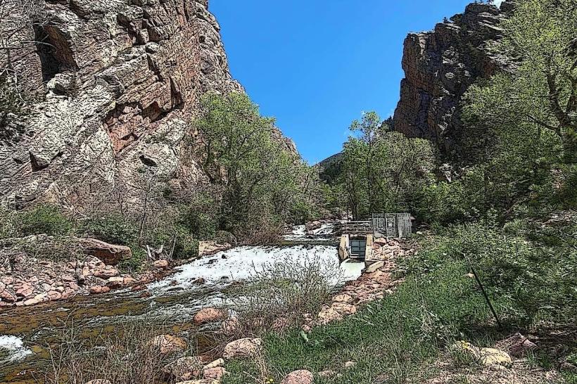
- Boulder Creek (1.5km Northeast)
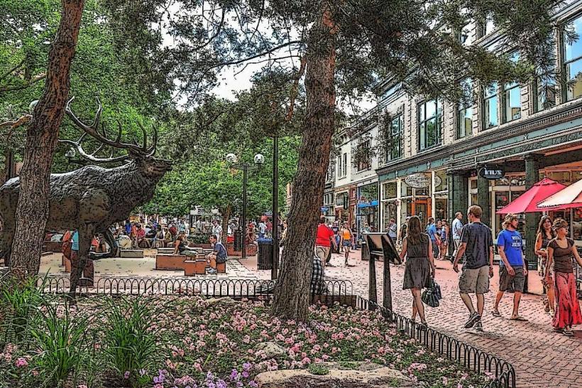
- Pearl Street Mall (3.0km East)
- University of Colorado Boulder (3.5km East)
- Eldorado Canyon State Park (8.0km Northwest)