Information
Landmark: Chautauqua ParkCity: Boulder
Country: USA Colorado
Continent: North America
Chautauqua Park, Boulder, USA Colorado, North America
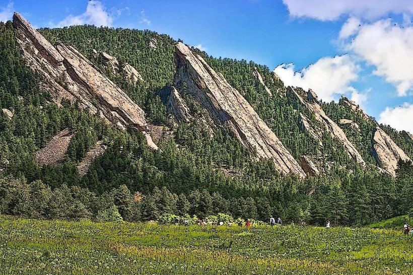
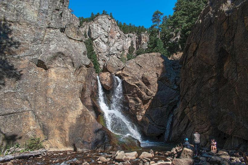
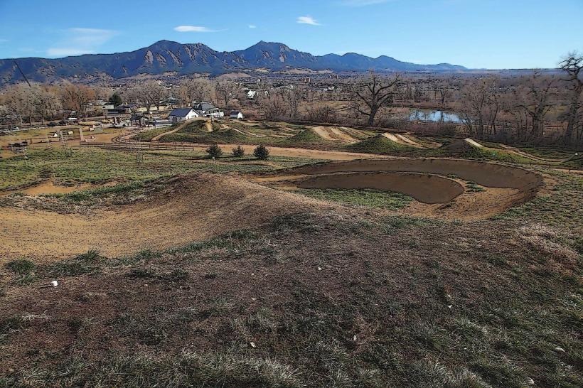
Chautauqua Park is a public park located at the base of the Flatirons in Boulder, Colorado, USA. It serves as a primary access point for hiking trails into the surrounding foothills.
Visual Characteristics
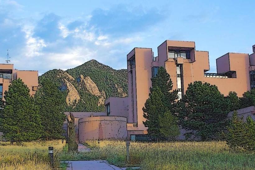
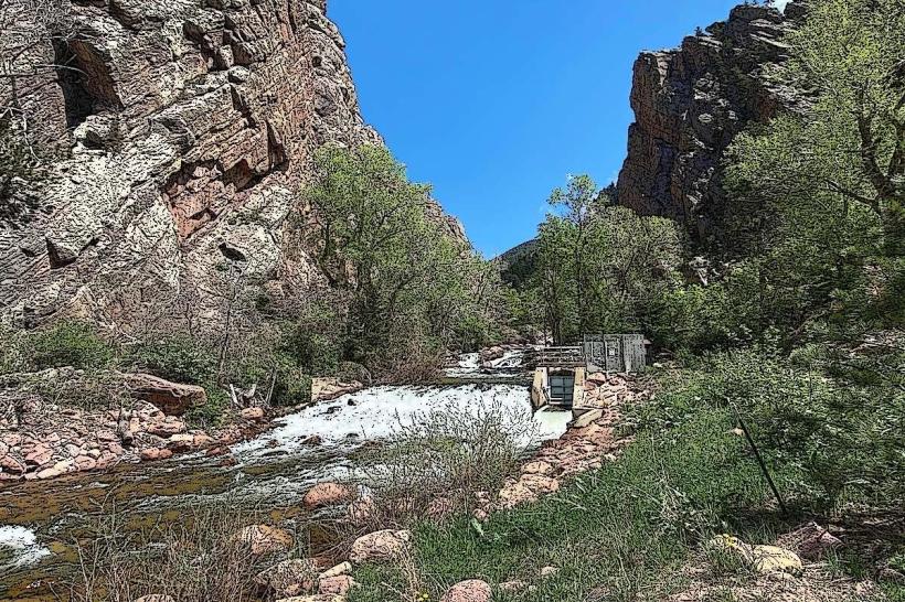
The park features a large, open meadow transitioning into a dense Ponderosa pine and Douglas fir forest. The dominant geological feature is the Flatirons, a series of prominent rock formations composed of Fountain Formation sandstone. These formations exhibit a reddish-brown hue, particularly visible during sunrise and sunset. The park's elevation ranges from approximately 5,360 feet (1,634 meters) at the meadow to higher elevations along the trail system.
Location & Access Logistics
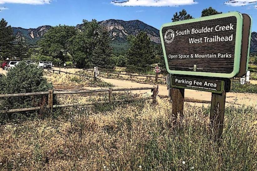
Chautauqua Park is situated at the western edge of Boulder, Colorado. Access is via Baseline Road, which terminates at the park entrance. The park is located approximately 2 miles (3.2 km) west of Boulder's downtown core. Parking is available in designated lots, which can fill rapidly, especially on weekends and holidays. Public transportation is provided by the Regional Transportation District (RTD) via the 205 bus route, which stops at the park entrance.
Historical & Ecological Origin
The park was established in 1898 by the City of Boulder. Its original purpose was to preserve the natural beauty of the area and provide recreational space. The Flatirons themselves are sedimentary rock formations dating back to the Pennsylvanian period, approximately 300 million years ago. The ecosystem is characteristic of the Montane zone, supporting a variety of flora and fauna adapted to semi-arid conditions and elevation.
Key Highlights & Activities
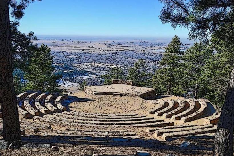
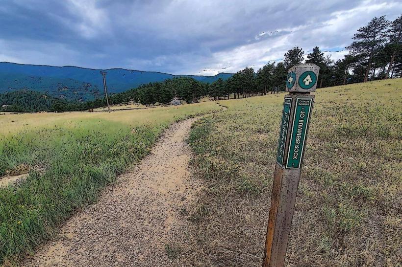
Hiking is the primary activity. Specific trails include the Chautauqua Trail (leading to the Flatirons), the Bluebell-Baird Trail, and the Shadow Canyon Trail. Rock climbing is permitted on designated formations. Picnicking is available at designated sites. The Chautauqua Dining Hall offers food services.
Infrastructure & Amenities
Restrooms are available near the main parking area and the Chautauqua Dining Hall. Shaded areas are present within the forested sections of the park and near picnic sites. Cell phone signal (4G/5G) is generally available within the main park area, but can be intermittent on trails at higher elevations. Food vendors are not present within the park itself, but the Chautauqua Dining Hall provides dining options.
Best Time to Visit
For photography, early morning (sunrise) and late afternoon (sunset) offer optimal lighting on the Flatirons. The best months for hiking are typically from April through October, avoiding the snow and ice of winter. Summer months can be hot, with afternoon thunderstorms being common. High tide is not applicable to this location.
Facts & Legends
The Flatirons are named for their resemblance to a clothes iron. A local legend suggests that the formations were once the roof of a giant's house. A specific tip for visitors is to be aware of potential wildlife encounters, including deer, coyotes, and rattlesnakes, particularly during warmer months.
Nearby Landmarks
- Flatirons Vista Trailhead: 1.5km Southwest
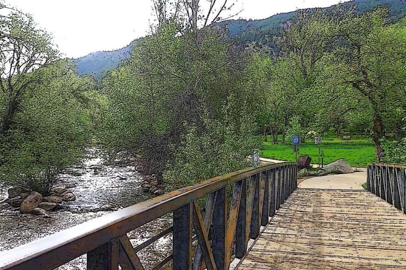
- Boulder Creek Path: 2.0km East
- Eldorado Canyon State Park: 8.0km Southwest
- University of Colorado Boulder: 2.5km East
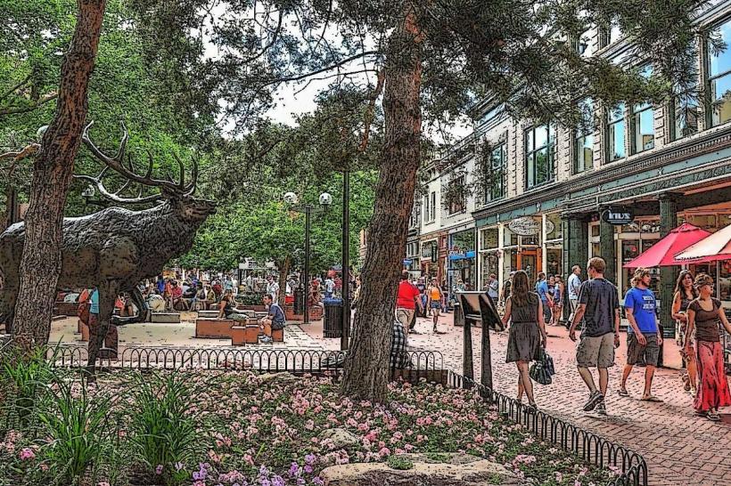
- Pearl Street Mall: 3.0km East