Information
Landmark: Fort ShirleyCity: Portsmouth
Country: Dominica
Continent: North America
Fort Shirley, Portsmouth, Dominica, North America
Fort Shirley is a historic fortification located on the Cabrits Peninsula in Portsmouth, Dominica.
This site preserves remnants of a British military garrison established in the late 18th century.
Visual Characteristics
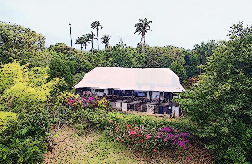
The fort comprises stone structures, primarily constructed from local volcanic rock. Walls are approximately 1 meter thick. The site includes barracks, officers' quarters, and defensive ramparts. Vegetation has encroached on some areas, with mature trees and dense undergrowth present. The elevation offers views of Prince Rupert Bay.
Location & Access Logistics
Fort Shirley is situated on the northern tip of the Cabrits Peninsula, approximately 3 kilometers north of Portsmouth. Access is via a paved road, Cabrits Road, which leads to a parking area at the base of the peninsula. From the parking area, a 1.5-kilometer paved path ascends to the fort. Public transport to Portsmouth is available via local buses. From Portsmouth, taxis can be hired to reach the Cabrits National Park entrance.
Historical & Ecological Origin
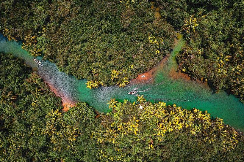
Construction of Fort Shirley began in 1770 by the British military. Its original purpose was to defend the strategic harbor of Prince Rupert Bay against French incursions and to protect the burgeoning colonial settlements. The site is part of the Cabrits National Park, an area characterized by volcanic geology and tropical rainforest ecosystems.
Key Highlights & Activities
Exploration of the fort's ruins, including the barracks and officers' mess. Hiking the trails within Cabrits National Park, such as the Fort Shirley Trail and the Syndicate Nature Trail. Birdwatching is possible, with species like the Sisserou parrot (Amazona imperialis) noted in the park. Photography of the fort and surrounding coastal scenery.
Infrastructure & Amenities
Restrooms are available at the park entrance and near the parking area. Limited shade is provided by existing structures and trees within the fort. Cell phone signal (4G) is intermittent within the fort itself but generally available at higher elevations. No food vendors are present within the fort; provisions should be made prior to arrival.
Best Time to Visit
The best time of day for photography is generally late morning or late afternoon to avoid harsh midday light. The dry season, from January to May, offers the most favorable weather conditions with lower humidity and less rainfall. High tide is not a factor for access to the fort.
Facts & Legends
A specific historical detail is that the fort was named after Sir Thomas Shirley, the governor of the Leeward Islands at the time of its construction. A local anecdote suggests that during periods of occupation, soldiers would use the fort's elevated position to observe approaching ships for days before they reached the harbor.
Nearby Landmarks
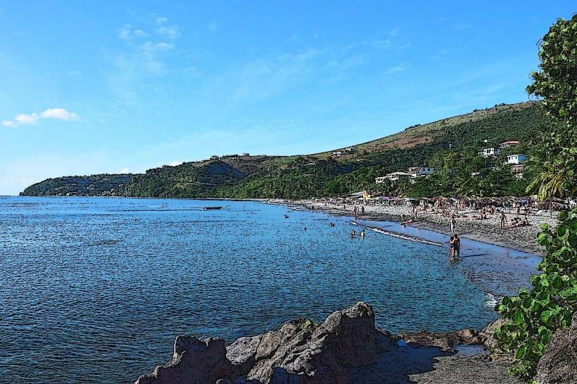
- Prince Rupert Bay: 1.5km Southwest
- Portsmouth Town Center: 3km Southwest
- Indian River: 4km South
- Toucarie Bay Beach: 4.5km Northwest