Information
Landmark: Purple Turtle WaterfallsCity: Portsmouth
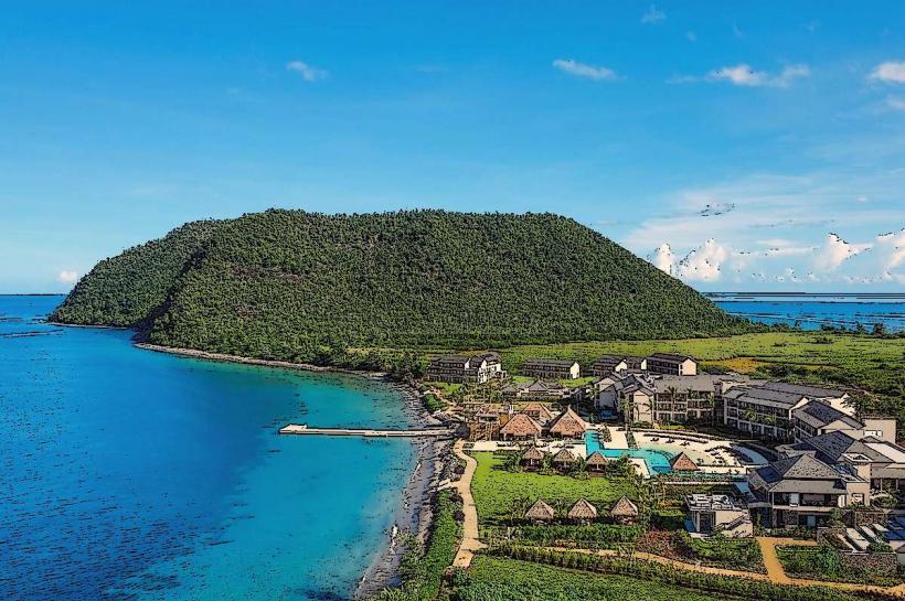
Country: Dominica
Continent: North America
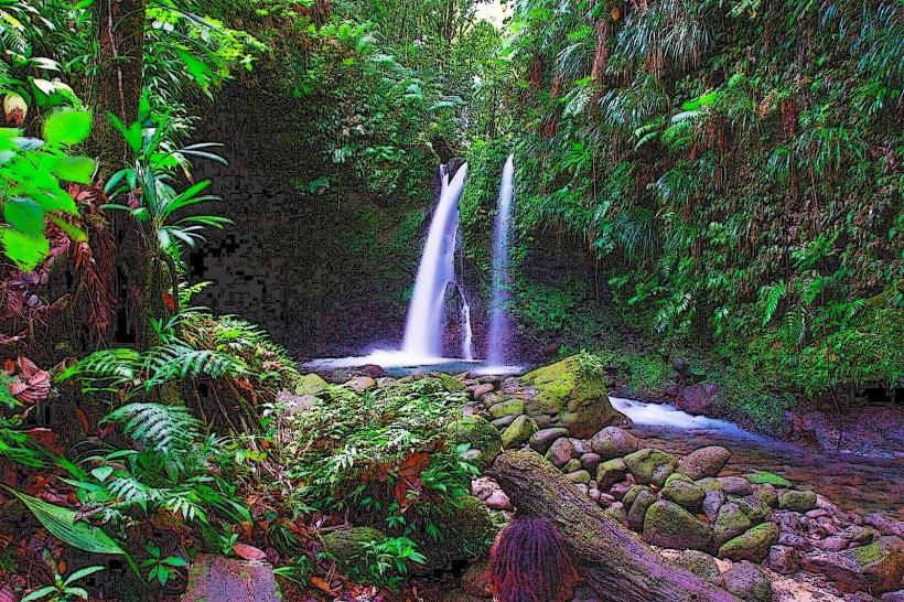
Purple Turtle Waterfalls, Portsmouth, Dominica, North America
Purple Turtle Waterfalls is a series of cascades located approximately 5 kilometers north of Portsmouth, Dominica.
The site features multiple distinct waterfall levels, with water flowing over dark, volcanic rock formations. The surrounding vegetation is dense tropical rainforest, characterized by broadleaf evergreen trees and ferns. The water pools at the base of the falls are typically clear, with a greenish hue.
Location & Access Logistics
Access to Purple Turtle Waterfalls is via the Syndicate Road, which branches off the main northern highway (W.E.B. Du Bois Highway) approximately 3 kilometers north of Portsmouth. The road is paved for the initial 2 kilometers, then transitions to a well-maintained unpaved track for the final 1 kilometer. Parking is available at a designated lot adjacent to the trailhead. Public transport options are limited; local minibuses serving the northern route stop at the Syndicate Road junction, requiring an additional 1km walk to the parking area.
Historical & Ecological Origin
The waterfalls are a natural geological formation, carved over millennia by the erosive action of the Syndicate River on the island's volcanic bedrock. The Syndicate River is part of Dominica's extensive river system, which originates in the island's central mountain range.
Key Highlights & Activities
Visitors can swim in the natural pools at the base of the lower cascades. Hiking trails provide access to the upper tiers of the waterfalls. Observation points are situated at various levels for viewing the cascades. The area is suitable for birdwatching.
Infrastructure & Amenities
Restrooms are available at the parking area. Limited natural shade is provided by the rainforest canopy. Cell phone signal (4G/5G) is generally unreliable within the immediate vicinity of the waterfalls. No food vendors are present at the site; visitors should bring their own provisions.
Best Time to Visit
The best time of day for photography is between 10:00 AM and 2:00 PM, when direct sunlight penetrates the canopy. The dry season, from January to May, offers the most favorable weather conditions with reduced rainfall. Water levels are highest following periods of significant rainfall, typically between June and October.
Facts & Legends
Local folklore suggests that the dark coloration of the rocks, which gives the falls their name, is due to mineral deposits from ancient volcanic activity. A specific tip for visitors is to wear water shoes, as the riverbed rocks can be slippery.
Nearby Landmarks
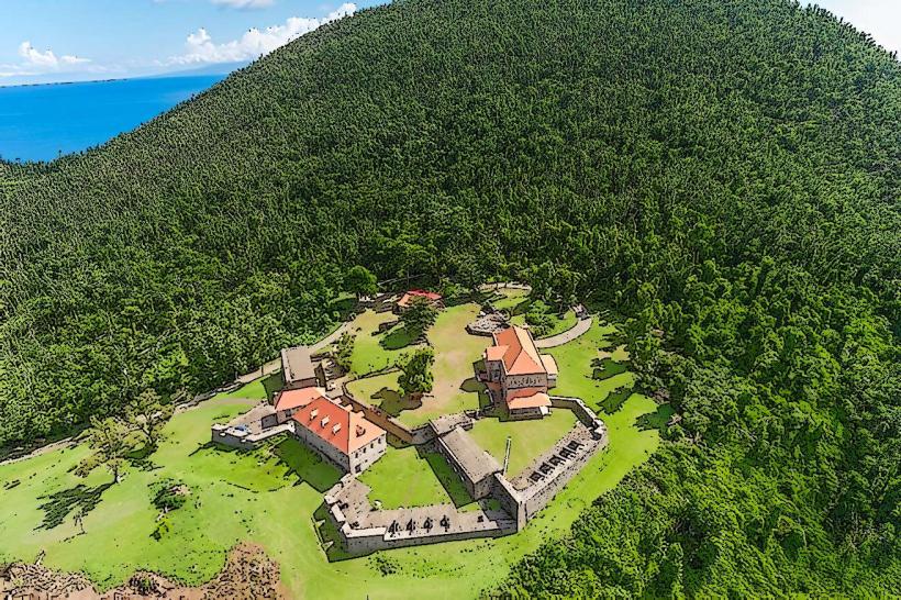
- Fort Shirley (0.8km Southwest)
- Cabrite Point (1.5km West)
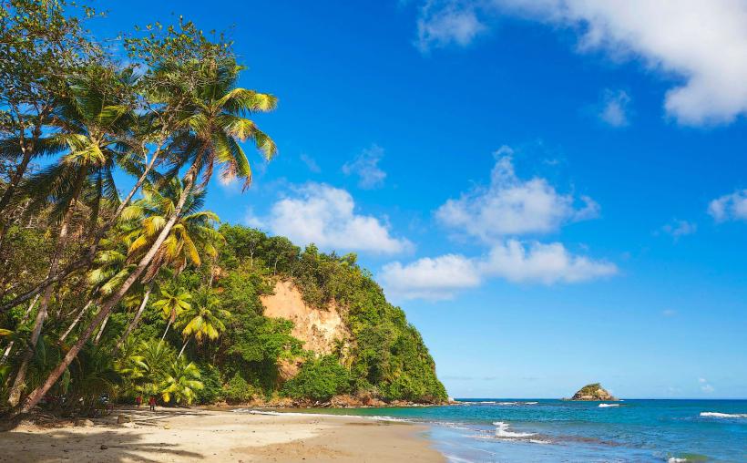
- Prince Rupert Bay (2.0km West)
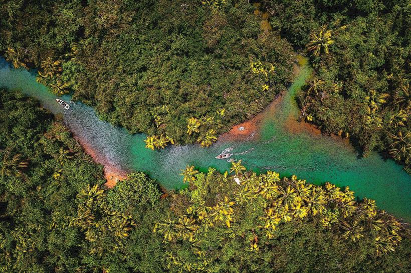
- Indian River (3.5km Southwest)