Information
Landmark: Waitukubuli National TrailCity: Portsmouth
Country: Dominica
Continent: North America
Waitukubuli National Trail, Portsmouth, Dominica, North America
The Waitukubuli National Trail is a 183.4-kilometer (113.9-mile) hiking trail traversing the island of Dominica. It extends from the north of the island near Cabrits National Park to the south near Scott's Head.
Visual Characteristics
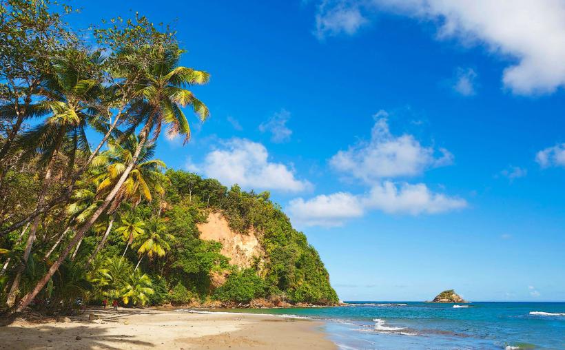
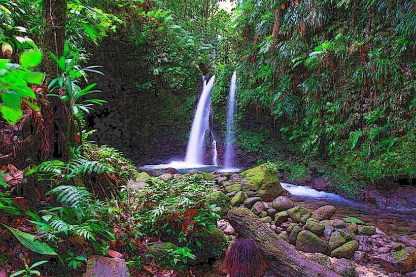
The trail comprises 14 segments, varying in terrain. Segments include coastal paths, rainforest interiors, volcanic slopes, and river valleys. Vegetation density ranges from open coastal scrub to dense, multi-layered rainforest canopy. Elevation changes are significant, with some sections reaching over 1,000 meters (3,280 feet) above sea level.
Location & Access Logistics
The northern terminus is accessible via the road to Cabrits National Park, approximately 3 kilometers (1.9 miles) west of Portsmouth. The southern terminus is located at Scott's Head village. Trailheads for individual segments are marked along public roads. Public transport (minibuses) serves towns and villages adjacent to the trail. Parking is available at designated trailheads and in nearby villages, though availability varies.
Historical & Ecological Origin
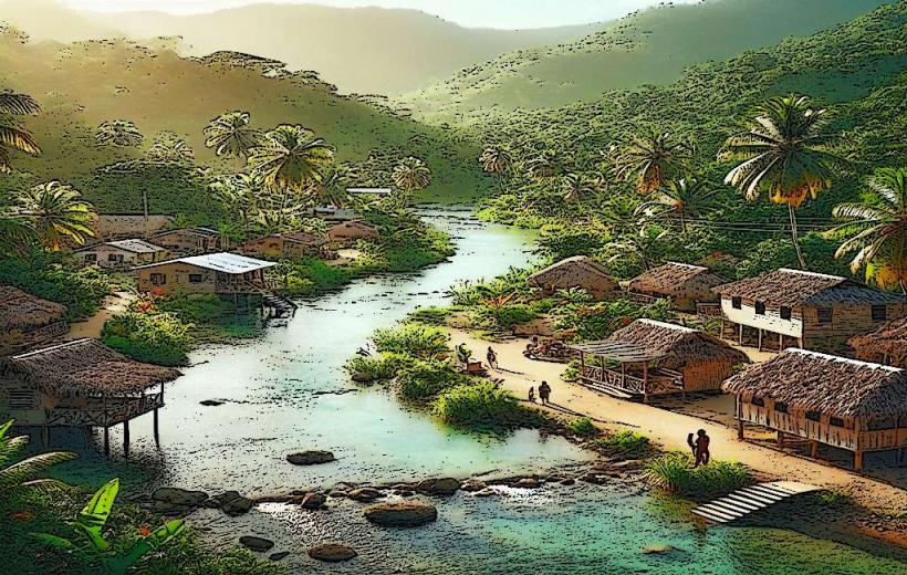
The trail follows ancient paths historically used by the Kalinago people and later by farmers and loggers. It was officially established and marked as a national trail in 2011. The route traverses diverse ecological zones, including primary rainforest, cloud forest, and coastal scrub, supporting a wide range of endemic flora and fauna.
Key Highlights & Activities
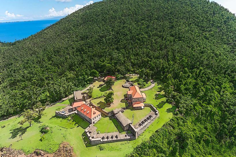
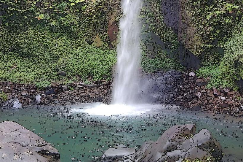
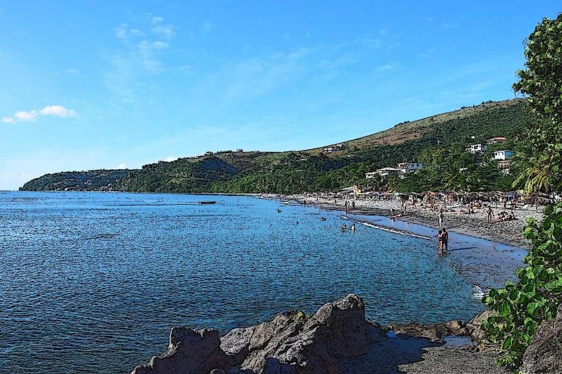
Hiking is the primary activity. Specific segments offer opportunities for birdwatching, waterfall viewing, and experiencing diverse plant life. Segment 13, leading to the Boiling Lake, is a notable challenge. Segment 14 offers coastal views. Segment 1 provides access to the historic Fort Shirley within Cabrits National Park.
Infrastructure & Amenities
Basic amenities are limited along the trail itself. Some trailheads may have rudimentary signage. Restrooms and food vendors are generally found in the villages at the start and end points of segments. Cell phone signal is intermittent and often unavailable in remote sections. Shade is provided by the forest canopy in forested areas.
Best Time to Visit
The dry season, from February to May, offers the most favorable weather conditions with less rainfall. The best time of day for photography is generally mid-morning or late afternoon to avoid harsh overhead light. High tide is not a factor for this trail.
Facts & Legends
The trail's name, Waitukubuli, is the Kalinago name for Dominica, meaning "Land of Tall Mountains." A specific tip for hikers is to carry sufficient water, as reliable water sources are scarce on many segments. The trail passes through areas with historical Kalinago settlements.
Nearby Landmarks
- Cabrits National Park (0.5km North)
- Portsmouth (3km East)
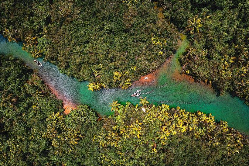
- Indian River (4km South-West)
- Trafalgar Falls (45km South-East)
- Morne Trois Pitons National Park (40km South-East)