Information
Landmark: Pagua BayCity: Portsmouth
Country: Dominica
Continent: North America
Pagua Bay, Portsmouth, Dominica, North America
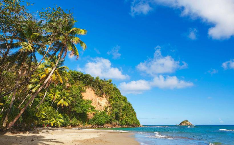
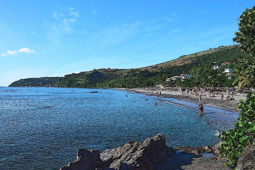
Pagua Bay is a coastal area located on the northeast side of Dominica, near the village of Marigot.
Visual Characteristics
The bay features dark volcanic sand beaches. The water color ranges from deep blue to turquoise depending on light conditions and depth. The coastline is characterized by exposed rock formations and a moderate density of coastal vegetation, including palm trees and low shrubs.
Location & Access Logistics
Pagua Bay is situated approximately 1.5 kilometers east of Marigot. Access is via the main road, the Eastern Main Road (Rte 2). Parking is available directly adjacent to the beach area, with space for approximately 20 vehicles. Public transport to Marigot is frequent via various bus routes originating from Roseau and other towns; from Marigot, local taxis or a walk of approximately 20 minutes will reach the bay.
Historical & Ecological Origin
Pagua Bay is a product of volcanic activity, with its shoreline and seabed composed of basaltic rock and sand derived from eroded volcanic material. The bay's formation is part of the larger geological history of the Lesser Antilles volcanic arc.
Key Highlights & Activities
Surfing is a primary activity, with consistent wave breaks suitable for intermediate surfers. The bay is also a location for observing local fishing activities. Beachcombing along the dark sand is possible.
Infrastructure & Amenities
Restrooms are not permanently available. Shade is limited to natural vegetation. Cell phone signal (4G) is generally reliable. There are no on-site food vendors, but small local eateries are present in Marigot.
Best Time to Visit
For surfing, the best conditions are typically from November to April, with morning hours often providing the most consistent swells. Midday sun can be intense; early morning or late afternoon offers more comfortable temperatures.
Facts & Legends
Local lore suggests that the bay's name originates from an indigenous Carib word, though its precise meaning is debated among historians. The consistent wave patterns are attributed to the bay's orientation and the prevailing Atlantic trade winds.
Nearby Landmarks
- Marigot (1.5km West)
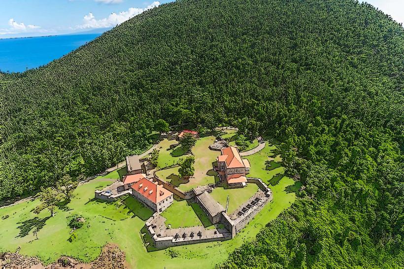
- Cabrits National Park (12km Northwest)
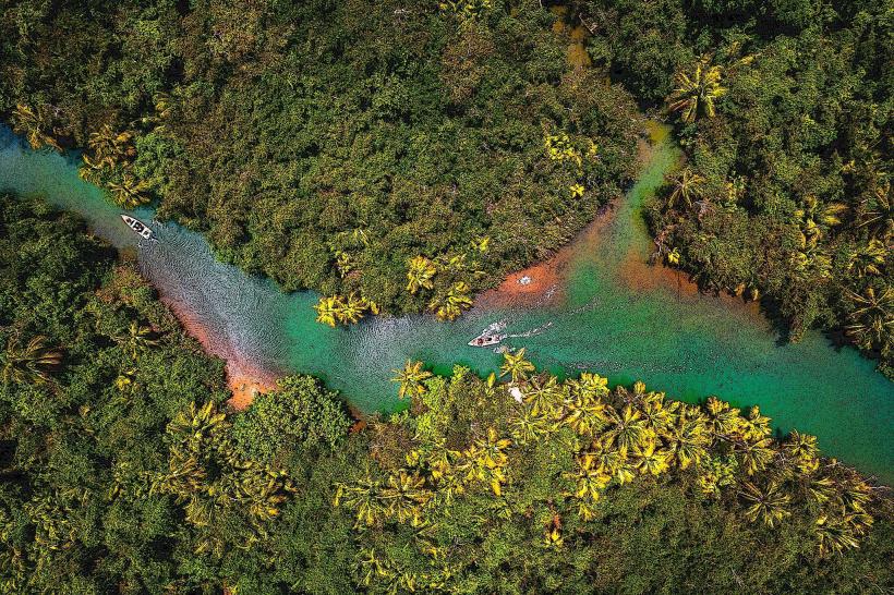
- Indian River (8km South)
- Emerald Pool (15km Southwest)