Information
Landmark: Freedom ParkCity: Atlanta
Country: USA Georgia
Continent: North America
Freedom Park, Atlanta, USA Georgia, North America
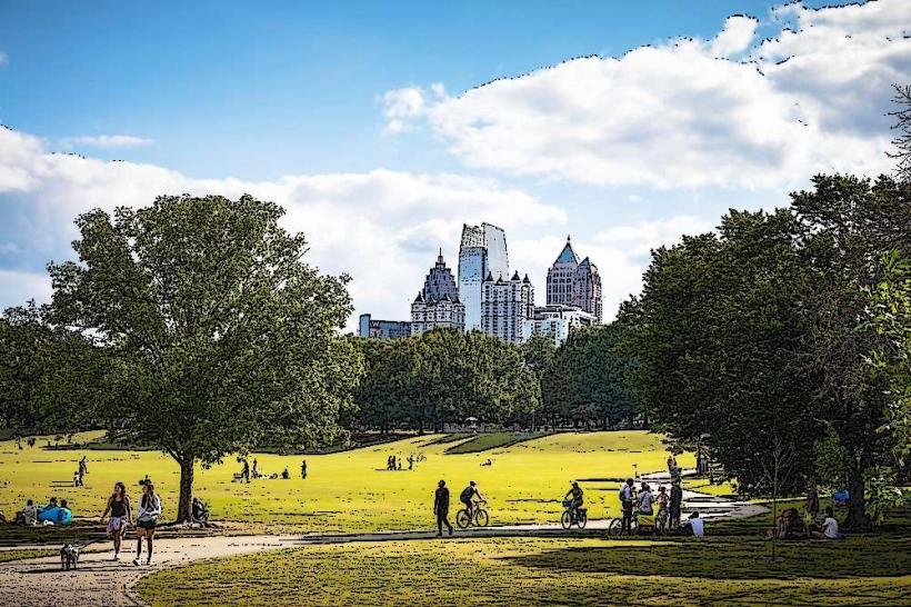
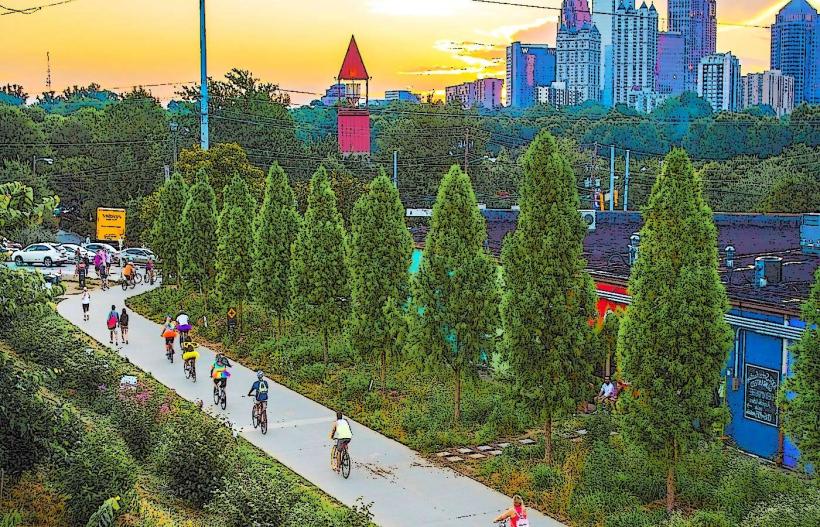
Freedom Park is a 210-acre urban park located in Atlanta, Georgia, USA. It stretches across several neighborhoods in the eastern part of the city.
Visual Characteristics
The park features a mix of open green spaces, wooded areas, and the restored Sweetwater Creek. Paved pathways traverse the park, connecting various sections. The landscape includes mature trees, ornamental plantings, and open lawns suitable for recreation. The creek bed is primarily composed of natural earth and rock formations.
Location & Access Logistics
Freedom Park is situated approximately 3 miles east of downtown Atlanta. Access is available from several points, including North Avenue, Ponce de Leon Avenue, and Moreland Avenue. Parking is available in designated lots along North Avenue and near the Atlanta BeltLine Eastside Trail access points. Public transportation options include MARTA bus lines that service Ponce de Leon Avenue and North Avenue, with stops within walking distance of park entrances. The Atlanta BeltLine Eastside Trail also provides direct pedestrian and bicycle access.
Historical & Ecological Origin
The park was established in 1994 on land formerly occupied by the Georgia Regional Hospital and other institutional facilities. The restoration of Sweetwater Creek, a tributary of the Chattahoochee River, is a key ecological component, aiming to improve water quality and habitat. The park's development aimed to reclaim and repurpose underutilized urban land for public use.
Key Highlights & Activities
Activities include walking, jogging, and cycling on the paved trails, including the Atlanta BeltLine Eastside Trail. The park contains several playgrounds, picnic areas with grills, and open fields for sports. The Freedom Park Conservancy organizes various events and volunteer opportunities. Birdwatching is possible in the wooded sections.
Infrastructure & Amenities
Restrooms are available at multiple locations within the park, particularly near the main entrances and playgrounds. Shade is provided by mature trees and some covered picnic shelters. Cell phone signal (4G/5G) is generally consistent throughout the park. Food vendors are not typically present within the park itself, but numerous restaurants and cafes are located along the adjacent Ponce de Leon Avenue and Moreland Avenue.
Best Time to Visit
The park is accessible year-round. For photography, early morning or late afternoon offers optimal lighting conditions. Spring (April-May) and Fall (September-October) provide pleasant temperatures for outdoor activities. No specific tide requirements apply.
Facts & Legends
A unique feature of Freedom Park is its integration with the Atlanta BeltLine Eastside Trail, a multi-use path built on a former railway corridor. This connection facilitates easy access to other parts of the city and highlights the park's role in urban revitalization. The park's name reflects its establishment as a space for public gathering and recreation following the redevelopment of former institutional grounds.
Nearby Landmarks
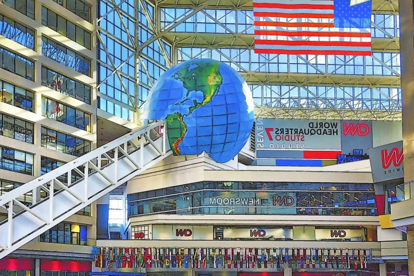
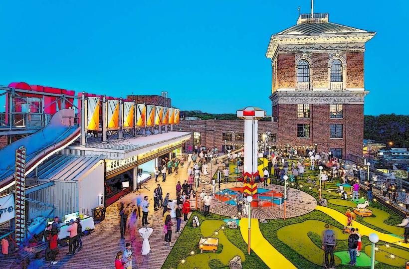
- 0.8km West: Ponce City Market (Mixed-use development)
- 1.2km Southwest: Historic Fourth Ward Park (Urban park)
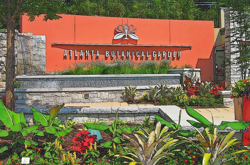
- 1.5km North: Atlanta Botanical Garden (Botanical garden)
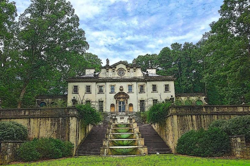
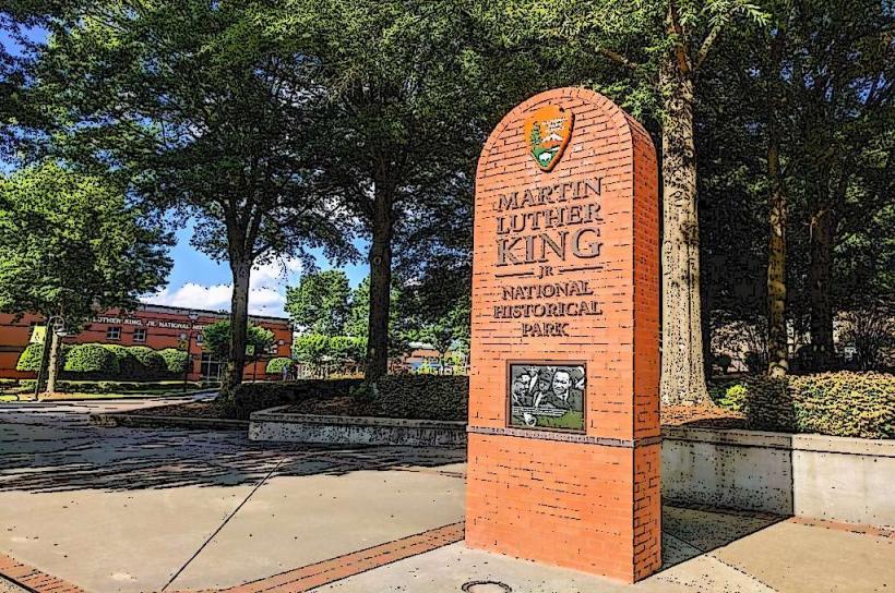
- 2.0km West: Martin Luther King, Jr. National Historical Park (Historical site)
- 2.5km Northwest: Piedmont Park (Urban park)