Information
Landmark: Gerlachovský PeakCity: Vysoke Tatry
Country: Slovakia
Continent: Europe
Gerlachovský Peak, Vysoke Tatry, Slovakia, Europe
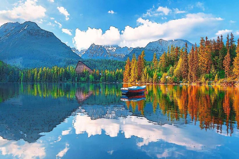
Gerlachovský Peak is the highest point in the Tatra Mountains and the entire Carpathian range, located in the Prešov Region of northern Slovakia. Reaching an elevation of 2,655 meters, it sits within the Tatra National Park and is characterized by its pyramid-shaped massif.
Visual Characteristics
The peak is composed primarily of Tatric crystalline bedrock, specifically granodiorite and granite. It features a distinct "cauldron" or cirque known as Gerlachovský kotol on its southern face. The terrain is rugged and barren above the tree line, consisting of jagged ridges, steep couloirs, and vertical rock walls with minimal alpine vegetation.
Location & Access Logistics
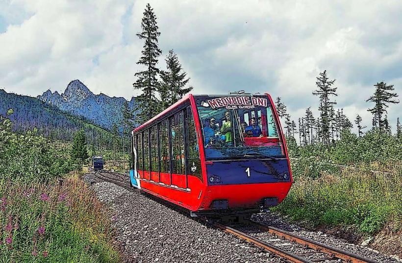
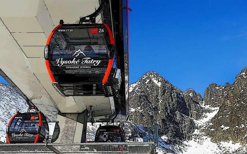
The mountain is situated in the central part of the High Tatras. Access is strictly regulated; hikers must be accompanied by a certified mountain guide or hold a valid UIAA climbing license. The standard ascent route begins at the Sliezsky Dom mountain hotel, which is reached via a private road from Tatranská Polianka (shuttle service or 2-hour hike) or the Tatranská Magistrala trail.
Historical & Ecological Origin
The peak was formed during the Alpine orogeny and further shaped by Pleistocene glaciation, which created its deep U-shaped valleys. It was first definitively measured as the highest in the Tatras in 1838 by Ľudovít Greiner. Throughout the 20th century, its name changed multiple times for political reasons, including Franz Josef Peak and Stalin Peak, before reverting to its geographical name.
Key Highlights & Activities
Technical mountaineering and guided ascents are the primary activities. The most common route is via "Velická próba" (ascent) and "Batizovská próba" (descent), involving Class 2 or 3 scrambling with fixed steel chains in exposed sections. Winter ascents require full alpine gear, including crampons and ice axes.
Infrastructure & Amenities
There is no infrastructure, shelter, or permanent equipment at the summit itself. The nearest amenities, including restrooms, dining, and overnight accommodation, are located at the Sliezsky Dom hotel at 1,670 meters. Cell phone signal is intermittent and highly dependent on cloud cover and line-of-sight to the Poprad basin.
Best Time to Visit
The official summer hiking season for guided ascents runs from June 15 to October 31. Morning starts (05:00–06:00) are mandatory to avoid frequent afternoon thunderstorms. Stable weather windows are most common in September and early October. High-altitude visibility is highest during these months due to lower humidity.
Facts & Legends
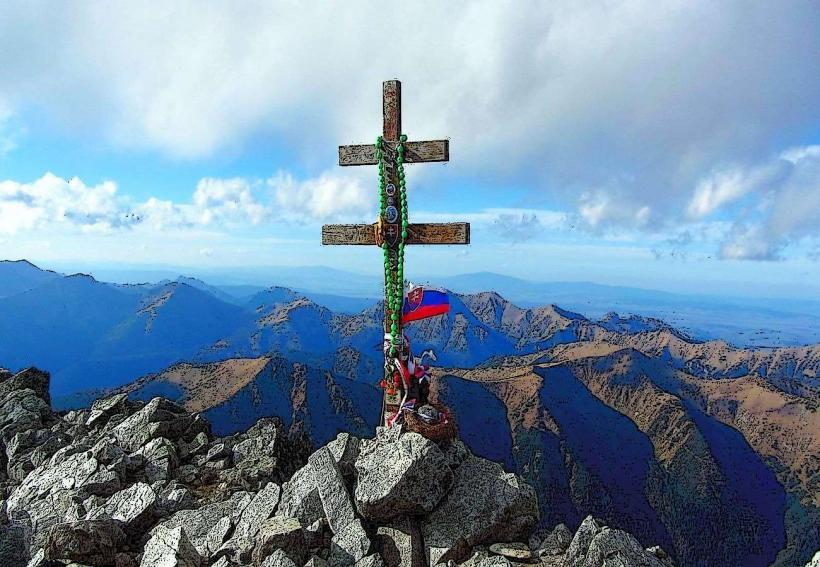
A local historical curiosity involves the various crosses placed on the summit; the current metal cross replaced previous versions destroyed by lightning and extreme winds. A common "secret" for climbers is the hidden memorial plaque dedicated to the 1944 crash of a Soviet transport plane on the nearby Zadný Gerlach ridge.
Nearby Landmarks
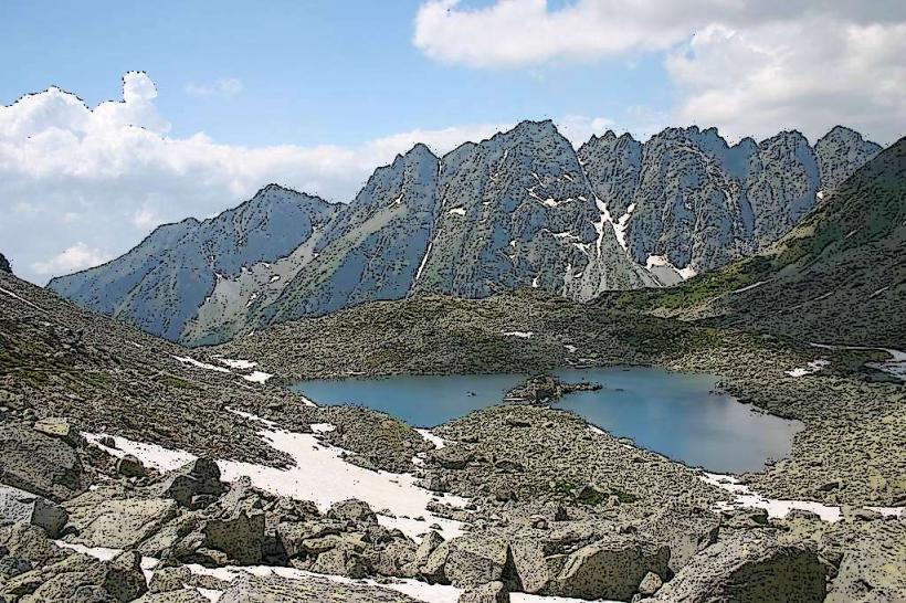
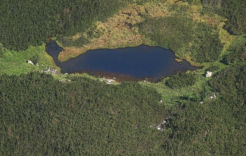
Batizovské pleso (Lake): 1.8km Southwest
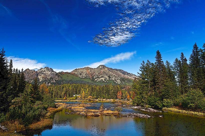
Sliezsky Dom: 2.2km Southeast
Končistá Peak: 2.5km West
Poľský hrebeň Pass: 2.1km North
Bradavica Peak: 1.5km Northeast