Information
Landmark: Tatra National ParkCity: Vysoke Tatry
Country: Slovakia
Continent: Europe
Tatra National Park, Vysoke Tatry, Slovakia, Europe
Tatra National Park (Tatranský národný park, TANAP) is the oldest national park in Slovakia, spanning the High Tatras, Western Tatras, and Belianske Tatras in the northern part of the country. It covers an area of 738 square kilometers and forms a transboundary biosphere reserve with the adjacent Polish Tatra National Park.
Visual Characteristics
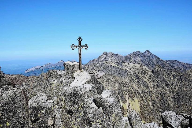
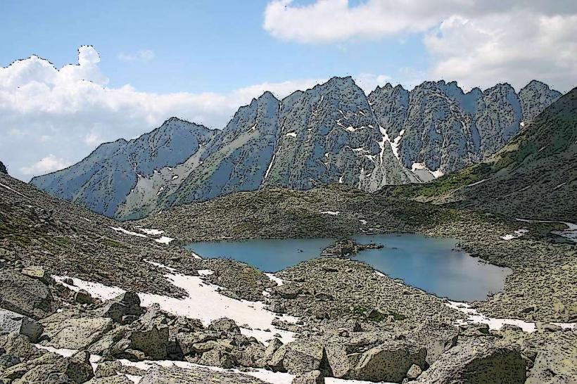
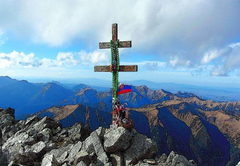
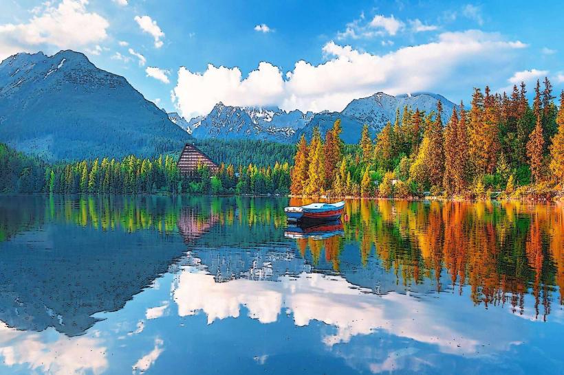
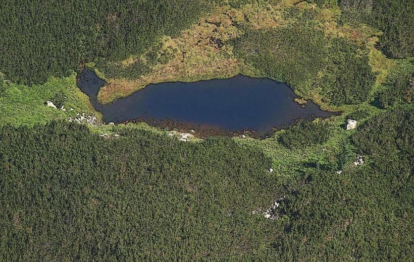
The landscape is characterized by alpine topography, featuring over 100 glacial lakes (tarns), U-shaped valleys, and jagged granite massifs. Vegetation zones range from mixed forests and spruce monocultures at lower elevations to dwarf pine zones and alpine meadows, eventually terminating in barren rocky peaks above 2,300 meters. The highest peak is Gerlachovský štít at 2,655 meters.
Location & Access Logistics
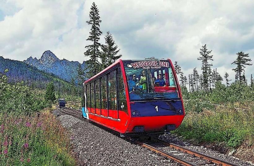
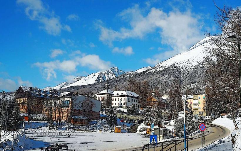
The park headquarters is located in Tatranská Lomnica, with primary entry points at Starý Smokovec, Štrbské Pleso, and Podbanské. Access is provided via the Cesta Slobody (Route 537) and the Tatra Electric Railway (TEŽ) connecting Poprad to the main mountain settlements. Frequent bus connections serve the northern Belianske Tatras via Tatranská Kotlina and Ždiar.
Historical & Ecological Origin
Established on January 1, 1949, TANAP was created to protect the unique alpine ecosystem of the highest mountain range in the Carpathians. It was designated a UNESCO Biosphere Reserve in 1992. The park protects endemic fauna, including the Tatra chamois (Rupicapra rupicapra tatrica) and the Tatra marmot (Marmota marmota latirostris).
Key Highlights & Activities
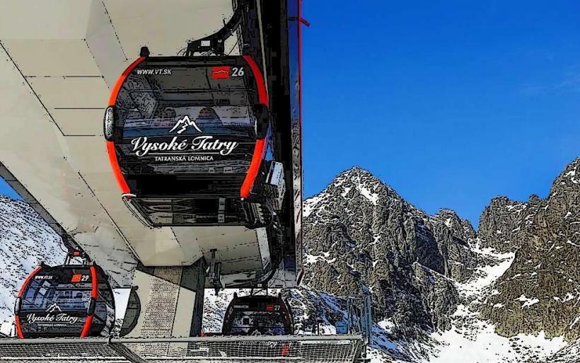
The park maintains over 600 kilometers of marked hiking trails, ranging from accessible lakeside walks to technical high-altitude ascents. Major activities include alpine skiing at Tatranská Lomnica, mountaineering (with a guide), and visiting the Belianska Cave. Educational trails with informational panels are located in the Monkova and Mengusovská valleys.
Infrastructure & Amenities
Infrastructure includes a network of 12 mountain huts (chaty) providing food and emergency shelter. Visitors find full municipal services (ATMs, pharmacies, grocery stores) in the primary settlements of Vysoké Tatry. Cellular signal (4G/5G) is reliable in developed areas and on many summits, though coverage gaps exist in deep glacial valleys.
Best Time to Visit
The main summer season runs from June 15 to October 31, during which all high-altitude trails are open. Winter tourism (skiing and snowshoeing) peaks from late December to March. Mid-September offers the highest probability of stable weather and clear atmospheric visibility for photography.
Facts & Legends
A seasonal closure (November 1 – June 14) applies to all trails above mountain huts to protect hibernating animals and prevent soil erosion. A verified historical oddity is the presence of the "Tatranský dóm," a massive ice cathedral built annually at Hrebienok, which uses approximately 225 tons of ice to recreate famous architectural monuments.
Nearby Landmarks
Belianska Cave: 8.0km Northeast of Tatranská Lomnica
Spiš Castle: 45km Southeast
Dunajec River Gorge: 35km Northeast
Poprad-Tatry Airport: 12km South
AquaCity Poprad: 13km South