Information
Landmark: Glassford HillCity: Prescott
Country: USA Arizona
Continent: North America
Glassford Hill, Prescott, USA Arizona, North America
Glassford Hill – In-Depth Exploration
Overview:
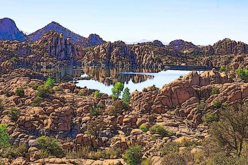
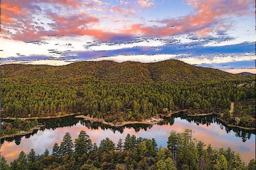
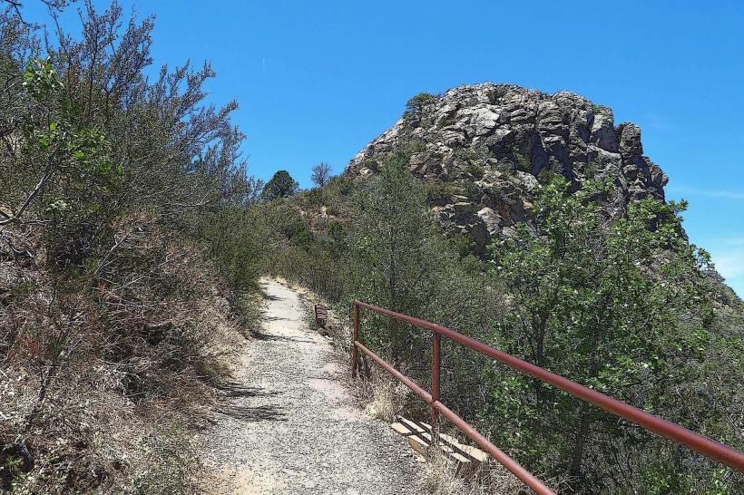
Glassford Hill is a dormant cinder cone volcano located between Prescott Valley and Chino Valley in central Arizona. The hike to the summit, known as the Glassford Summit Trail, is a moderately challenging out-and-back route popular among locals for its accessibility, scenic views, and fitness appeal. The hill itself rises prominently from the surrounding valley floor, offering a unique mix of geological history and modern recreation. Its gently winding trail makes it suitable for both seasoned hikers and casual walkers seeking a half-day outdoor escape.
🔍 Historical & Geological Background
Volcanic Origin:
Glassford Hill is a 10–14 million-year-old extinct volcano, part of the extensive volcanic field that characterizes central Arizona. It once spewed lava and ash across the surrounding high desert. Today, remnants of basaltic rock and volcanic ash layers can be seen in its exposed northern face and summit ridges.
Namesake:
The hill is named after Colonel William A. Glassford, a U.S. Army officer known for establishing a network of heliograph stations across Arizona in the late 1800s. One such station stood atop this hill, utilizing reflected sunlight to transmit messages over vast distances. Remnants and signage commemorating this system can still be found near the summit.
🥾 Trail Details
Distance: Approximately 4.2–4.6 miles round-trip depending on whether you continue to the actual summit.
Elevation Gain: Around 900–1,000 feet.
Starting Elevation: ~5,183 feet.
Summit Elevation: ~6,178 feet.
Duration: Most hikers complete the round trip in 2–2.5 hours.
Trail Type: Out-and-back.
Surface: Wide dirt road, somewhat rocky but generally well-maintained.
📍 Trailhead Location
Entrance: The trailhead is located at 6000 E Antelope Lane, near the intersection with Castle Drive in Prescott Valley.
Parking: Small dirt lot (about 15–20 cars). No fee. There is one portable restroom at the lot.
Access: Easy access from Highway 69 via Prescott East Highway or Glassford Hill Road.
⛰️ Trail Experience
1. Start of the Trail
The trail begins on a relatively flat and wide dirt path near a dry wash.
You’ll cross a small footbridge and head into open grassland with scattered juniper and desert scrub.
2. Mid-Trail: The Switchbacks
After the first half-mile, the trail gradually ascends and becomes steeper.
There are eight long switchbacks, each with a bench for resting.
The terrain remains wide and navigable, with good footing throughout.
3. Flora & Fauna
The area is rich in juniper, prickly pear, yucca, and seasonal wildflowers.
Wildlife commonly spotted includes rabbits, mule deer, pronghorn, lizards, and a variety of birds like hawks and kestrels.
4. Scenic Highlights
Panoramic views emerge as you ascend, especially looking back toward Prescott Valley, the Bradshaw Mountains, and, in clear conditions, San Francisco Peaks near Flagstaff.
The summit area features remnants of the historic heliograph station and interpretive signs about the mountain’s geology and history.
5. Optional Summit Spur
While many hikers stop at the main overlook (approx. 6,123 ft), a short, steeper path continues another quarter mile to the true summit (~6,178 ft), where communications towers and a USGS benchmark are located.
🌿 Natural Environment
Ecosystem: Semi-arid high desert transitioning into pinyon-juniper woodland.
Geology: Volcanic rocks, including basalt and tuff, line the hillsides.
Seasonal Appeal:
Spring: Wildflowers, mild temperatures.
Summer: Can be hot - early morning hikes recommended.
Fall: Ideal temperatures, crisp air.
Winter: Occasional snow or ice patches near summit.
⚠️ Practical Information
Facilities: One portable toilet at the base; no water, shade, or shelters along the route.
Dogs: Allowed on leash. Bring water for pets.
Best Time to Hike: Spring and fall are most pleasant. Avoid midday summer heat.
Trail Conditions: Well-maintained. Wide enough for two people side-by-side most of the way.
🧭 Summary
Glassford Hill offers a scenic and moderately challenging hike suitable for casual walkers, fitness enthusiasts, and nature lovers. Its wide trail and moderate grade make it ideal for hikers of varying experience levels, while its unique volcanic origin, panoramic views, and historical features (like the heliograph station) add educational interest. Though not as rugged or dramatic as some nearby hikes, it stands out as a convenient and rewarding trail near Prescott Valley.
This trail is an excellent choice for those seeking a well-graded ascent with historical flavor and far-reaching views, especially as part of a day trip or early morning outing.