Information
Landmark: Hampstead RiverCity: Roseau
Country: Dominica
Continent: North America
Hampstead River, Roseau, Dominica, North America
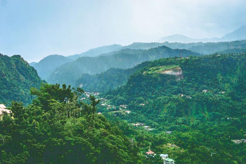
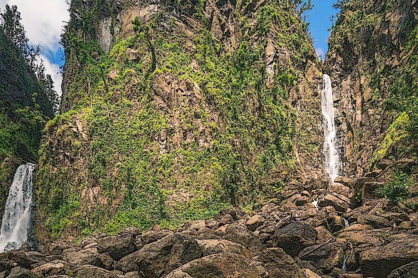
The Hampstead River is a river located on the northern coast of Dominica, near the village of Capuchin.
Visual Characteristics
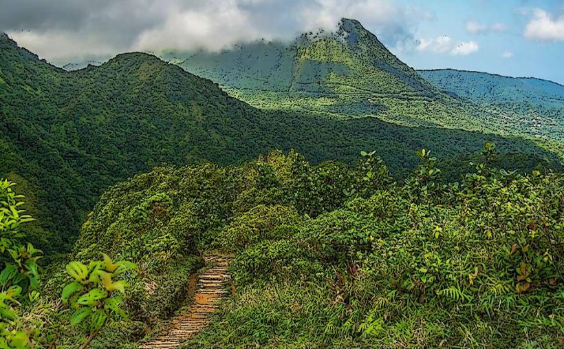
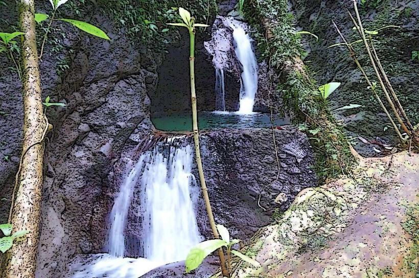
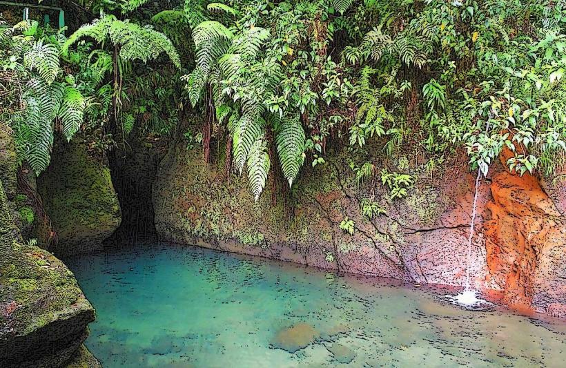
The river mouth features dark volcanic sand. The water clarity varies, often appearing brown due to sediment runoff, especially after rainfall. The surrounding vegetation is dense tropical rainforest, characterized by broadleaf evergreen trees and vines.
Location & Access Logistics
The Hampstead River is situated approximately 35 kilometers north of Roseau. Access is via the primary northern coastal road, the E.O. Leblanc Highway. Turn off onto the unpaved track leading towards Capuchin village. Parking is available at designated informal pull-offs near the river mouth. Public transport options are limited; local minibuses operate along the E.O. Leblanc Highway, requiring a walk of approximately 1.5 kilometers from the nearest stop.
Historical & Ecological Origin
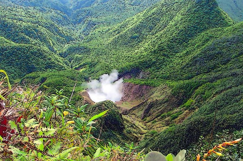
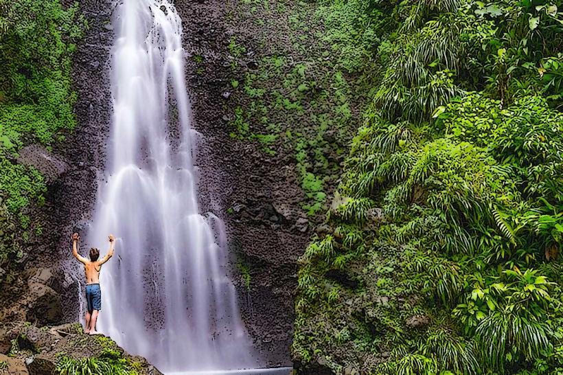
The Hampstead River is a natural watercourse formed by rainfall runoff from the Morne Diablotins massif. Its geological origin is volcanic, with the riverbed and surrounding landscape shaped by erosion of volcanic rock over millennia. The area is part of Dominica's primary rainforest ecosystem.
Key Highlights & Activities
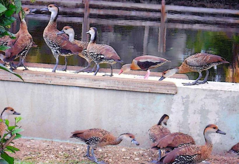
Swimming is possible in designated calmer sections of the river, particularly upstream from the mouth. Observation of local birdlife is a primary activity. The river mouth area is a site for observing coastal erosion processes.
Infrastructure & Amenities
No formal infrastructure or amenities are present at the Hampstead River. Restrooms, shade, and food vendors are not available at the site. Cell phone signal (4G/5G) is generally unreliable in this remote location.
Best Time to Visit
The best time for clear water observation is during the dry season, typically from February to May. The late afternoon offers diffused lighting for photography. Avoid visiting immediately after heavy rainfall due to increased sediment load and stronger currents.
Facts & Legends
Local folklore suggests the river was once a route for smugglers due to its relatively secluded location. The river is also known for its occasional flash flood potential during intense tropical storms.
Nearby Landmarks
- Pointe Baptiste Chocolate Factory (2.5km Southeast)
- Cabrite Point (3.0km Northwest)
- Indian River (15.0km Southwest)
- Morne Diablotins National Park (10.0km West)
- Chaudiere Pool (12.0km Southwest)