Information
Landmark: Haute-Sûre Forêt d'AnlierCity: Luxembourg City
Country: Luxembourg
Continent: Europe
Haute-Sûre Forêt d'Anlier, Luxembourg City, Luxembourg, Europe
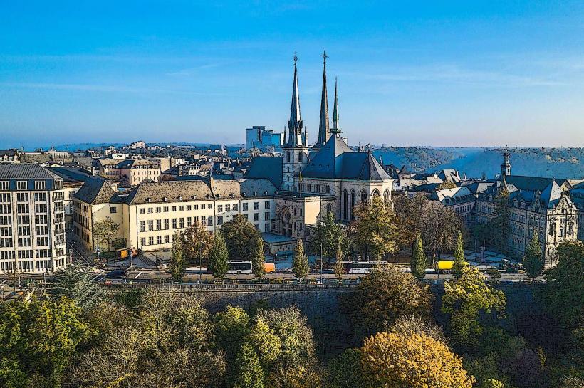
The Haute-Sûre Forêt d'Anlier is a cross-border Natural Park (Parc Naturel) primarily located in the Belgian province of Luxembourg, bordering the Grand Duchy. It is not located within Luxembourg City.
Visual Characteristics
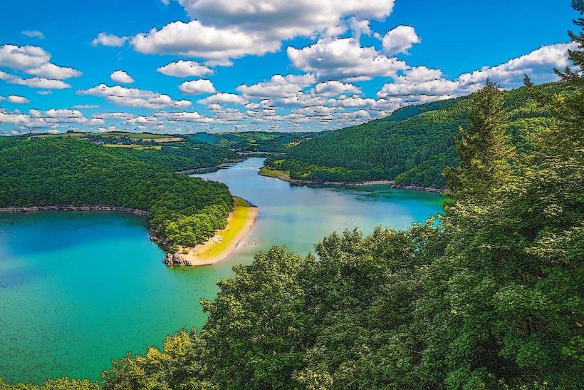
The landscape is characterized by a transition between the massive, dense broadleaf forests of the Anlier forest and the open, plateau-like agricultural land of the Haute-Sûre. It features deep, winding valleys carved by the Sûre River and its tributaries. The architectural aesthetic of the villages is dominated by traditional Ardennes stone masonry and slate roofs.
Location & Access Logistics
The park spans several municipalities including Bastogne, Fauvillers, Habay, and Martelange. It is approximately 45–60 kilometers northwest of Luxembourg City.
Vehicle: Accessible via the E411 (Belgium) or the N5/E25 (Luxembourg). The village of Martelange sits directly on the border.
Public Transport: Limited direct access from Luxembourg City; typically requires a train to Arlon or Libramont followed by local bus services.
Trails: The park features over 300 kilometers of signposted hiking and cycling trails.
Historical & Ecological Origin
The park was established in 2001 to preserve one of Belgium’s largest continuous forest massifs. The Forêt d'Anlier is an ancient woodland, largely composed of beech and oak. Historically, the region was defined by the slate industry and iron forges. Geologically, it sits on the Lower Devonian bedrock of the Ardennes, resulting in acidic soils that support specific heathland and bog ecosystems.
Key Highlights & Activities
The Forêt d'Anlier: A primary site for hiking and timber production, known for its high biodiversity including black storks and red deer.
Martelange Slate Quarries: Heritage sites detailing the once-dominant slate industry.
The Sûre Valley: Offers kayaking and fishing opportunities in the upper reaches of the river.
Birdwatching: The park is a significant habitat for the red kite and several species of owls.
Infrastructure & Amenities
The "Maison du Parc" (Park Center) is located in the Martelange town hall and provides maps and tourist information. Public infrastructure is decentralized across the member villages. 4G cellular coverage is generally available but can be intermittent in deep forest basins. Accessibility is high on the plateau trails, but valley paths are often rugged and unsuitable for strollers or wheelchairs.
Best Time to Visit
Autumn (late September to October) is the optimal time to witness the deer rut and the color changes in the beech forests. Spring is preferred for observing migratory birds and the blooming of wild flora.
Facts & Legends
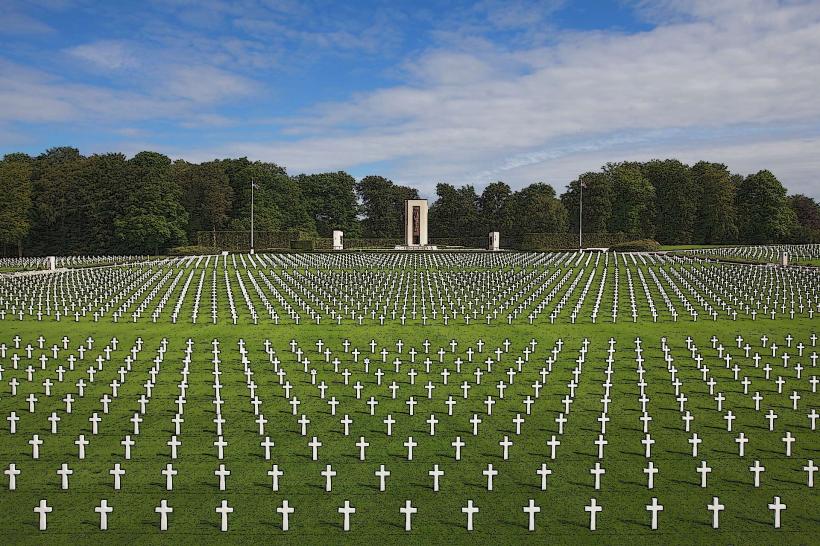
The forest was historically a royal hunting ground and has numerous legends regarding "Le Loup-Garou" (the werewolf) and "Nutons" (mythical dwarves) who supposedly inhabited the slate caves and riverbanks. During the Battle of the Bulge in 1944, the dense forest terrain played a critical role in the movements of Patton’s Third Army as they pushed toward Bastogne.
Nearby Landmarks
Bastogne War Museum – 15km North
Upper Sûre Lake (Luxembourg) – 10km East
Arlon (Gallo-Roman Museum) – 20km Southeast
Misärshaff (Scout Center) – 5km East
La Forêt d’Anlier Observation Towers – Multiple locations within the massif