Information
Landmark: High LineCity: Manhattan
Country: USA New York
Continent: North America
High Line, Manhattan, USA New York, North America
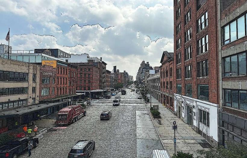
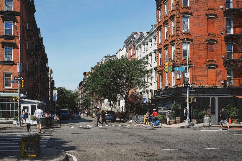
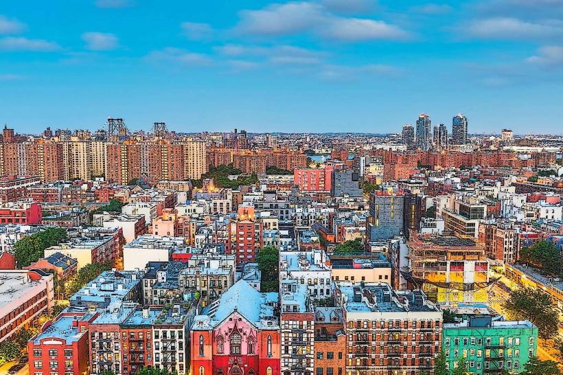
The High Line is an elevated linear park built on a former freight rail line in Manhattan, New York City. It extends from Gansevoort Street in the Meatpacking District to 34th Street near Hudson Yards.
Visual Characteristics
The park features a combination of planted areas and reclaimed industrial elements. Vegetation includes grasses, perennials, and shrubs selected for seasonal interest and drought tolerance. Sections of the original railway tracks are preserved and integrated into the landscape design. The walkway is paved with concrete and wood decking. The structure itself is a steel and concrete viaduct, approximately 30 feet above street level.
Location & Access Logistics
Access points are located at street level at various intervals between Gansevoort Street and 34th Street. Specific access points include staircases and elevators at 14th Street, 23rd Street, and 34th Street. The park is accessible via multiple subway lines, including the A, C, E to 14th Street; the L to 14th Street; the 1, 2, 3 to 14th Street; and the 7 to 34th Street-Hudson Yards. Several bus routes also serve the surrounding areas, including the M14A, M14D, M20, and M23.
Historical & Ecological Origin
Construction of the High Line began in 1934 as part of a project to remove freight trains from city streets. It operated until 1980. The park was developed by Friends of the High Line, a non-profit conservancy, and the New York City Department of Parks & Recreation. The ecological design focuses on a curated, wild-style planting that mimics the self-seeding vegetation that grew on the abandoned tracks.
Key Highlights & Activities
Visitors can walk the length of the park, observe the urban landscape from an elevated perspective, and view the curated plantings. Designated seating areas and art installations are present along the route. Photography of the cityscape and the park's design is a common activity. Access to specific sections may be restricted during maintenance periods.
Infrastructure & Amenities
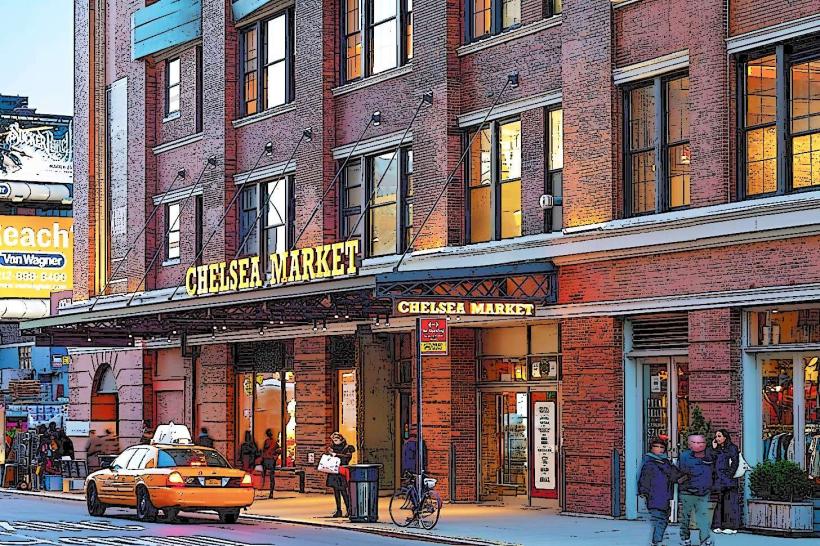
Restrooms are available at intervals, notably near the 14th Street and 23rd Street access points. Shaded areas are provided by mature trees and pergolas. Cell phone signal (4G/5G) is generally strong throughout the park. Food vendors and cafes are located at street level near several access points, particularly in the Meatpacking District and Chelsea Market.
Best Time to Visit
For optimal lighting for photography, early morning or late afternoon is recommended. The park is open year-round, but spring and fall offer the most comfortable temperatures and visual interest from the plantings. High tide is not a relevant factor for this land-based park.
Facts & Legends
A unique aspect of the High Line's design is the preservation of sections of the original railway tracks, which are integrated into the walking paths. Some sections feature "wild" plantings that mimic the spontaneous growth that occurred after the line was abandoned.
Nearby Landmarks
- Chelsea Market (0.2km East)
- Whitney Museum of American Art (0.3km Southwest)
- Hudson Yards (1.5km Northwest)
- The Vessel (1.6km Northwest)
- Little Island (1.8km Southwest)