Information
Landmark: Huayna PicchuCity: Machu Picchu
Country: Peru
Continent: South America
Huayna Picchu, Machu Picchu, Peru, South America
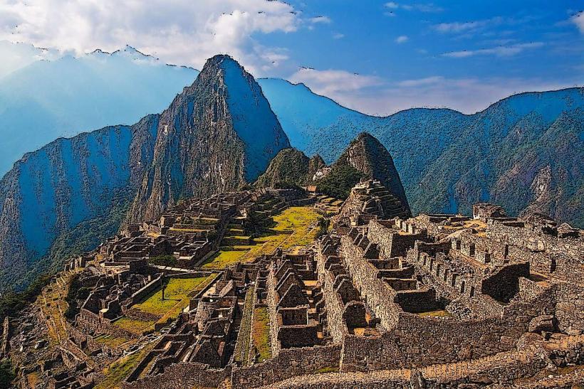
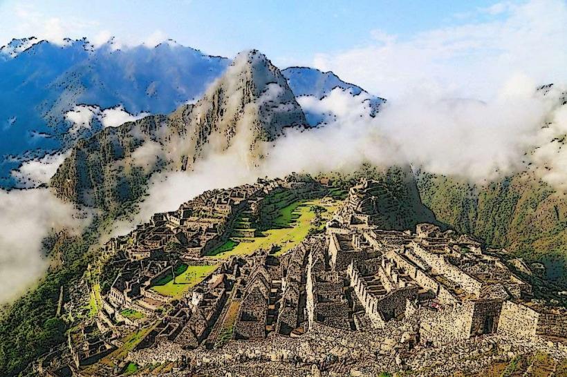
Huayna Picchu is a mountain peak situated directly north of the Machu Picchu Citadel in Peru.
It is a prominent geological feature that forms the backdrop for many iconic views of the ancient Inca site.
Visual Characteristics
Huayna Picchu is characterized by its steep, verdant slopes and a distinctive, rounded summit. The rock formations are primarily granite, consistent with the Andes mountain range. Vegetation is dense, consisting of cloud forest flora including orchids and bromeliads. The peak rises approximately 360 meters (1,180 feet) above the Machu Picchu citadel.
Location & Access Logistics
Access to Huayna Picchu is via a designated trail originating from within the Machu Picchu archaeological site. The entrance to the trail is located near the Sacred Rock. Visitors must possess a separate ticket for Huayna Picchu, which is often booked in conjunction with Machu Picchu entrance tickets. The trail is approximately 2 kilometers (1.2 miles) in length to the summit and involves steep ascents and descents. The trail is managed by the Peruvian Ministry of Culture, with daily visitor limits enforced. The nearest major city is Cusco, from which visitors travel to Aguas Calientes via train, then take a bus to the Machu Picchu entrance. There is no direct road access to the summit of Huayna Picchu.
Historical & Ecological Origin
Huayna Picchu is a natural geological formation, part of the Cordillera Oriental of the Andes. Its formation is a result of tectonic uplift and erosion over millions of years. Ecologically, it is situated within the Peruvian Yungas ecoregion, a transitional zone between the Andes and the Amazon rainforest, supporting a unique biodiversity.
Key Highlights & Activities
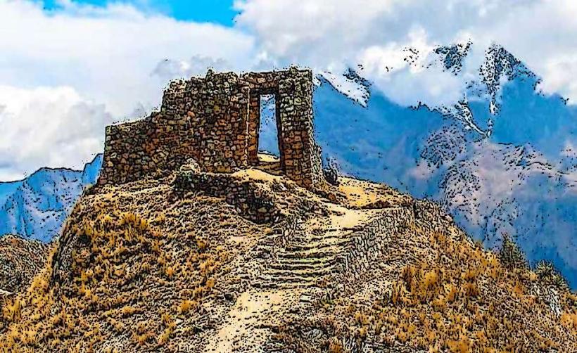
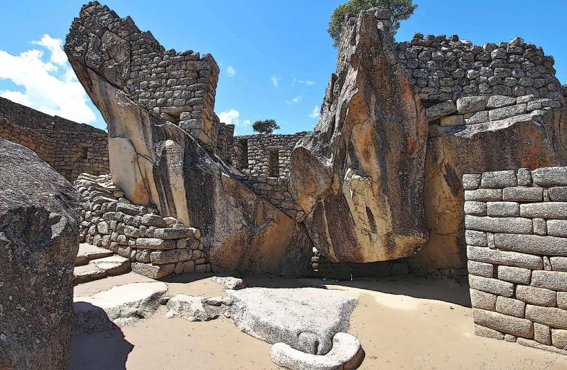
The primary activity is hiking the trail to the summit. The trail includes sections with stone steps and narrow pathways. At the summit, visitors can observe panoramic views of the Machu Picchu citadel and the surrounding Urubamba River valley. A secondary trail leads to the Temple of the Moon, a cave structure located on the northern side of Huayna Picchu. This requires an additional, separate permit and is a longer hike.
Infrastructure & Amenities
Within the Machu Picchu citadel, restrooms and food vendors are available. There are no facilities on the Huayna Picchu trail itself, beyond basic signage and safety ropes in certain sections. Cell phone signal is intermittent to non-existent on the trail and at the summit.
Best Time to Visit
The best time of day for photography is generally in the morning, between 8:00 AM and 10:00 AM, when the sun illuminates the citadel from the east. The dry season, from May to September, offers the most favorable weather conditions with less rainfall. The trail can be slippery and hazardous during the rainy season (November to March). High tide is not a relevant factor for this mountain hike.
Facts & Legends
It is believed that Huayna Picchu served as a ceremonial site for the Inca elite, with the Temple of the Moon being a significant religious structure. Local legends suggest that the mountain was a sacred dwelling place for deities. A specific tip for visitors is to wear sturdy, closed-toe footwear with good grip, as the stone steps can be uneven and worn.
Nearby Landmarks
- Machu Picchu Citadel (0.2km South)
- Inti Punku (Sun Gate) (1.5km East)
- Temple of the Moon (0.8km North)
- Putucusi Mountain (2.0km Southeast)