Information
Landmark: Icacos PointCity: Cedros
Country: Trinidad and Tobago
Continent: North America
Icacos Point, Cedros, Trinidad and Tobago, North America
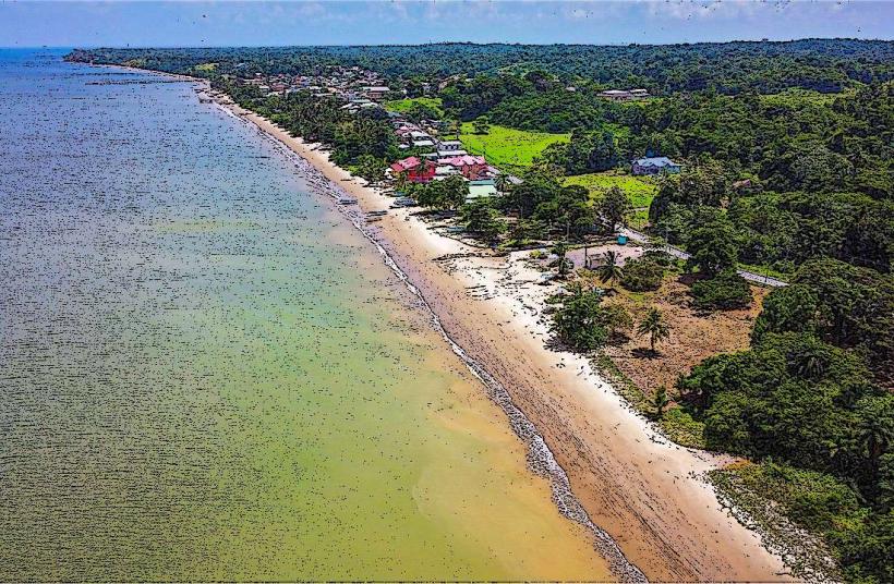
Icacos Point is a peninsula located at the southwestern tip of Trinidad, within the Cedros district.
It is the southernmost point of Trinidad and Tobago.
Visual Characteristics
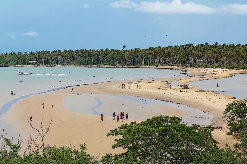
The landmass consists of a narrow strip of sandy terrain extending into the Gulf of Paria. Vegetation is sparse, primarily low-lying coastal scrub and scattered palm trees. The shoreline is characterized by fine, light-brown sand. The water in the Gulf of Paria is generally calm and shallow, with a muted green to brown coloration due to sediment.
Location & Access Logistics
Icacos Point is situated at the end of Icacos Road, approximately 15 kilometers west of the Cedros village center. Access is via a paved road that terminates near the point. Parking is available on unpaved areas adjacent to the shoreline. Public transport to Cedros village is limited; from Port of Spain, one would typically take a bus to San Fernando and then a connecting bus or taxi to Cedros. From Cedros, a local taxi or private vehicle is required to reach Icacos Point.
Historical & Ecological Origin
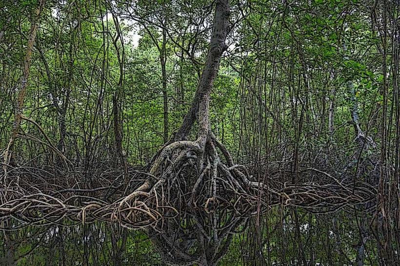
Icacos Point is a natural landform, a coastal depositional feature formed by the accumulation of sand and sediment carried by currents in the Gulf of Paria. Ecologically, it represents a coastal mangrove and scrubland habitat, subject to tidal influences and erosion.
Key Highlights & Activities
Visitors can walk along the shoreline. Birdwatching is possible due to the coastal environment. Swimming is permitted, though caution is advised due to shallow waters and potential currents. Fishing from the shore is a common activity.
Infrastructure & Amenities
There are no permanent structures or facilities directly at Icacos Point. Restrooms and food vendors are not present. Cell phone signal (4G/5G) is generally available but can be intermittent closer to the water's edge. Shade is limited to natural vegetation.
Best Time to Visit
The best time for photography is during the early morning or late afternoon when the sun angle provides softer light. The dry season, from January to May, offers the most favorable weather conditions with less rainfall. Tidal conditions do not significantly impact access or activities at this location.
Facts & Legends
Icacos Point is known locally as the "end of the world" due to its geographical position. It is also a departure point for informal boat crossings to Venezuela, though this is not a sanctioned or recommended activity.
Nearby Landmarks
- Cedros Village (2km East)
- Columbus Bay (4km Northeast)
- Erin Bay (8km Northeast)