Information
Landmark: Los Gallos PointCity: Cedros
Country: Trinidad and Tobago
Continent: North America
Los Gallos Point, Cedros, Trinidad and Tobago, North America
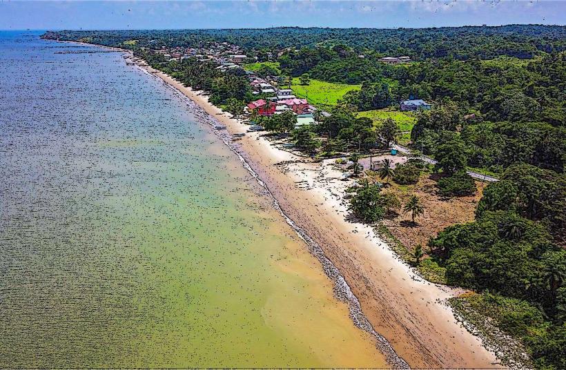
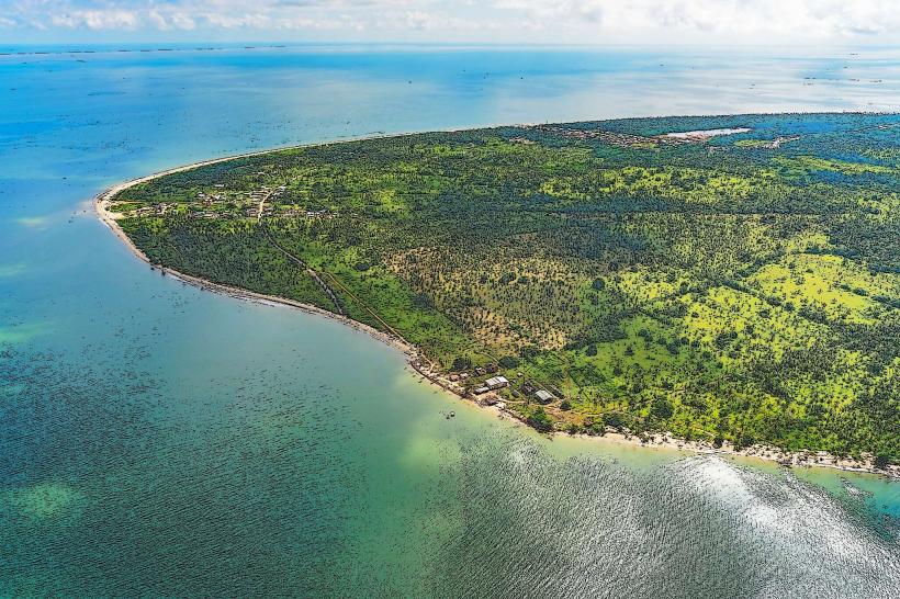
Los Gallos Point is a coastal promontory located at the westernmost tip of Trinidad, within the Cedros peninsula.
This geographical feature extends into the Gulf of Paria, marking a significant land boundary.
Visual Characteristics
The point consists of low-lying sedimentary rock formations with sparse, hardy vegetation, primarily grasses and scrub. The coastline is characterized by a mix of sandy patches and exposed rock. The water surrounding the point is typically a muted blue-green, influenced by sediment from the gulf.
Location & Access Logistics
Los Gallos Point is situated at the end of the main road in Cedros, approximately 100 kilometers southwest of Port of Spain. Access is via the M2 Motorway, transitioning to the Southern Main Road, and then following local roads towards Cedros. The final approach to the point is via a dirt track, accessible by 4x4 vehicles during dry conditions. Standard vehicles may park at the end of the paved road in Cedros village, requiring a walk of approximately 1.5 kilometers to the point. Public transport to Cedros is limited to maxi-taxis originating from San Fernando; no direct public transport reaches the point itself.
Historical & Ecological Origin
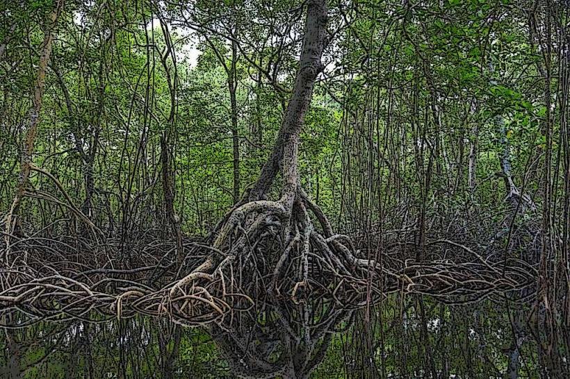
The geological formation of Los Gallos Point is primarily composed of Quaternary-era sedimentary deposits, shaped by coastal erosion and deposition over millennia. Ecologically, it represents a transitional zone between coastal scrubland and marine environments, supporting specialized flora and fauna adapted to saline conditions.
Key Highlights & Activities
Observation of marine birdlife is a primary activity. The point offers unobstructed views of the Gulf of Paria and passing maritime traffic. Fishing from the shore is possible, particularly for smaller species. Walking the perimeter of the point allows for geological observation.
Infrastructure & Amenities
There are no formal amenities at Los Gallos Point. Restrooms, shade structures, and food vendors are not present. Cell phone signal (4G/5G) is generally weak to non-existent at the point itself, though it may be available in Cedros village.
Best Time to Visit
The best time for photography is during the late afternoon, approximately 1-2 hours before sunset, for optimal natural light. The dry season, from January to May, offers the most accessible conditions for reaching the point due to reduced mud on the access track. There are no tidal restrictions for accessing the point itself, but fishing conditions can vary with tidal flow.
Facts & Legends
Local folklore suggests that the point was historically used by fishermen to observe the arrival of ships, acting as an informal lookout. A specific navigational hazard known as the "Gallos Shoal" lies offshore, requiring careful navigation for vessels.
Nearby Landmarks
- Cedros Bay (0.8km East)
- Icacos Village (3.5km East)
- Columbus Bay (4.2km Southeast)
- Chatham (4.8km Northeast)