Information
Landmark: Irazu Volcano National ParkCity: Cartago
Country: Costa Rica
Continent: North America
Irazu Volcano National Park, Cartago, Costa Rica, North America
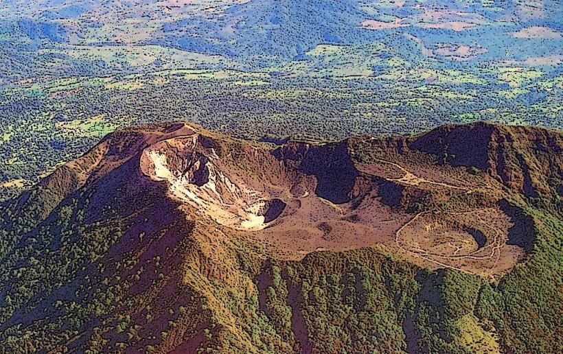
Irazu Volcano National Park is a protected area containing an active stratovolcano located in the Central Volcanic Range of Costa Rica. The park is situated near the city of Cartago.
Visual Characteristics
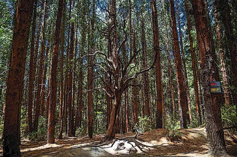
The park's primary feature is the Irazu Volcano, which has a summit elevation of 3,432 meters (11,260 feet). The volcano exhibits multiple craters; the main crater is approximately 1,050 meters (3,445 feet) in diameter and 230 meters (755 feet) deep. Within the main crater, a smaller, active crater contains a turquoise-colored lake. The surrounding landscape is characterized by montane forest vegetation, with areas of paramo at higher elevations. Volcanic ash deposits are visible throughout the park.
Location & Access Logistics
The park entrance is located approximately 31 kilometers (19 miles) northeast of Cartago. Access is via paved roads, primarily Route 219. The drive from Cartago takes approximately 45-60 minutes. Parking is available at the main visitor area near the volcano's summit. Public transport options are limited; a combination of local buses to the town of San Juan de Chicuá followed by a taxi or a significant hike is the most feasible, though not recommended for most visitors due to time and logistical constraints.
Historical & Ecological Origin
Irazu is a stratovolcano formed by volcanic activity over thousands of years. Its most significant recent eruption occurred between 1963 and 1965, causing widespread ashfall across Costa Rica. The park was established to protect this significant geological feature and its associated ecosystems, which include diverse flora and fauna adapted to high-altitude volcanic environments.
Key Highlights & Activities
Visitors can access viewpoints overlooking the main crater and the crater lake. Hiking trails are available, including a path around the main crater rim and a trail leading to the Diego de la Haya viewpoint. Observation of the volcanic landscape and the surrounding cloud forest is a primary activity. Birdwatching is also possible.
Infrastructure & Amenities
Basic facilities are available at the park entrance, including restrooms and a small visitor center. Limited shade is present in designated picnic areas. Cell phone signal (4G/5G) is generally unreliable within the park, especially at higher elevations. No food vendors operate within the park; visitors should bring their own provisions.
Best Time to Visit
The best time of day for photography is typically in the morning, between 8:00 AM and 10:00 AM, when cloud cover is often minimal and lighting is favorable. The dry season, from December to April, offers the most consistent clear weather. Visibility can be significantly reduced by fog and clouds at any time of year, particularly in the afternoon.
Facts & Legends
Local folklore suggests that the volcano is inhabited by spirits or ancient guardians. A verified historical oddity is the significant impact of the 1963-1965 eruption, which disrupted daily life in San José and surrounding areas for over a year due to ashfall. A specific tip for visitors is to be prepared for rapid weather changes; temperatures can drop significantly, and fog can appear without warning.
Nearby Landmarks
- Prusia National Park (0.8km West)
- San Juan de Chicuá (5km Southwest)
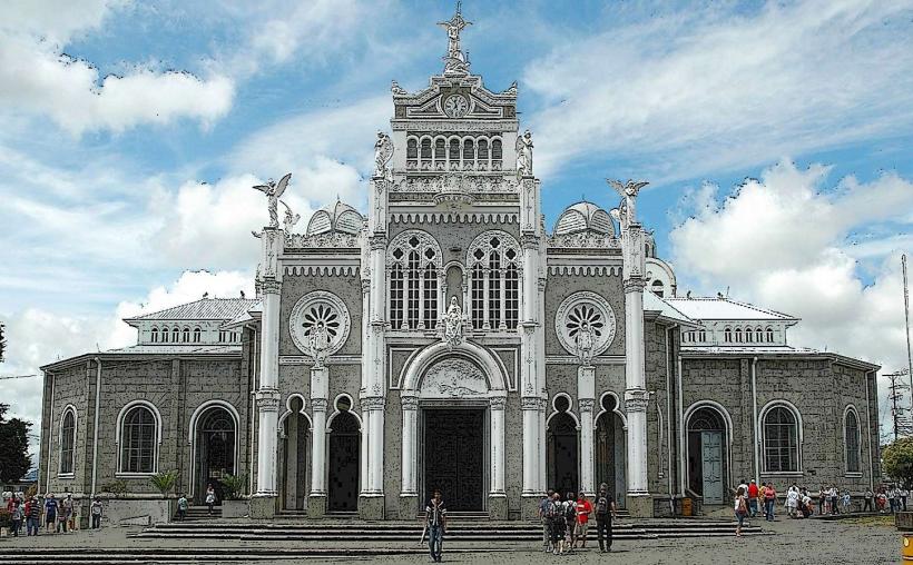
- Cartago City Center (31km Southwest)
- Orosi Valley (35km South)
- Turrialba Volcano National Park (40km East)