Information
Landmark: Kalalau TrailCity: Kauai
Country: USA Hawaii
Continent: North America
Kalalau Trail, Kauai, USA Hawaii, North America
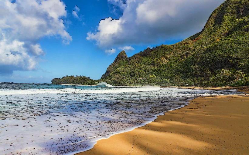
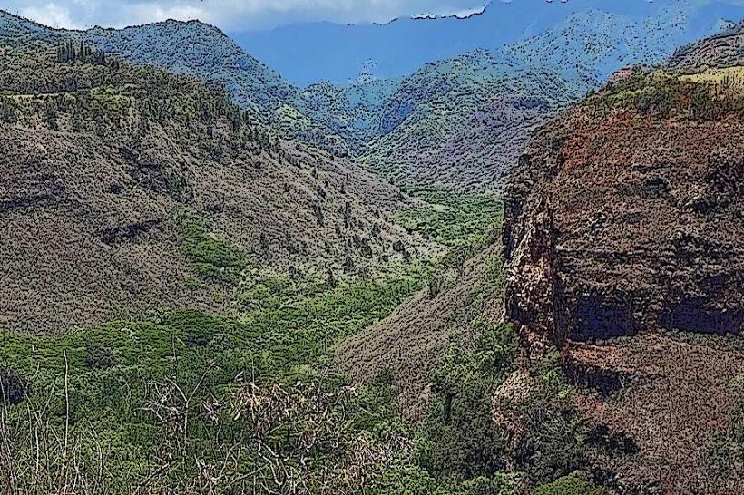
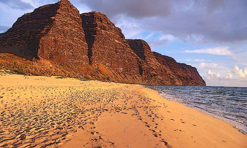
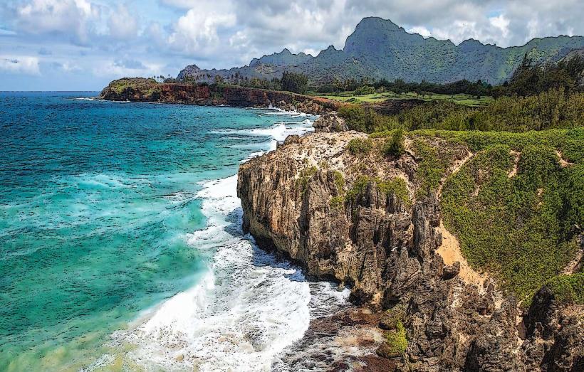
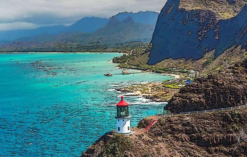
The Kalalau Trail is a 17-mile (27 km) coastal hiking path located on the north shore of Kauai, Hawaii, USA. It traverses the Na Pali Coast State Wilderness Park.
Visual Characteristics
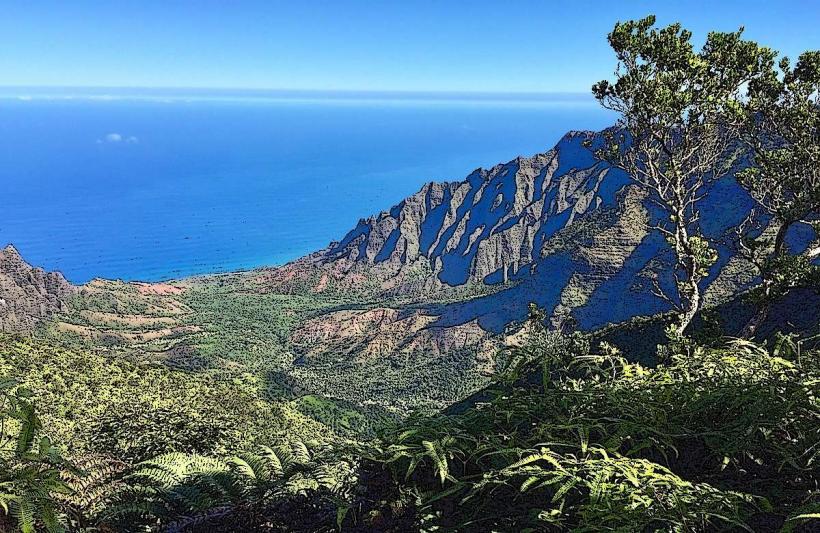
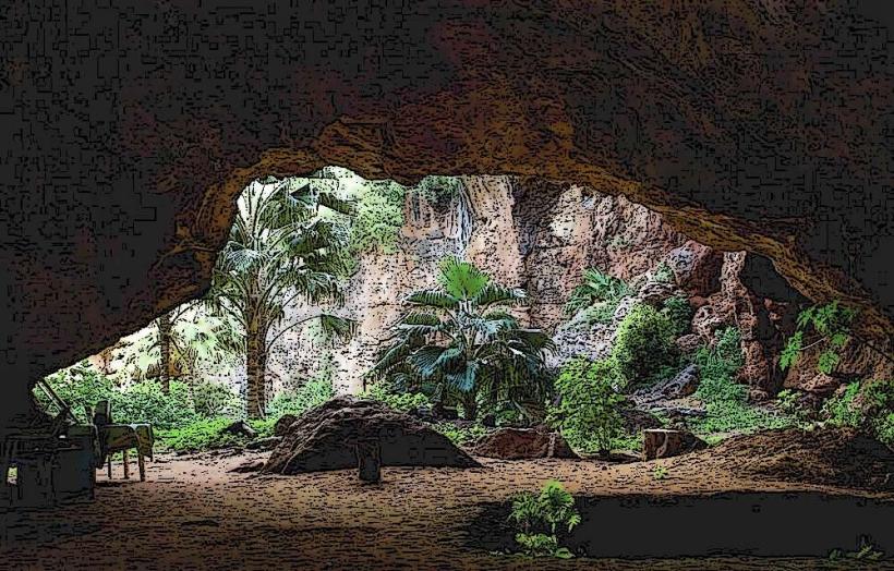
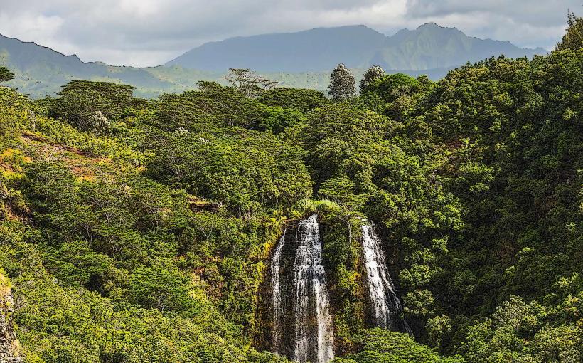
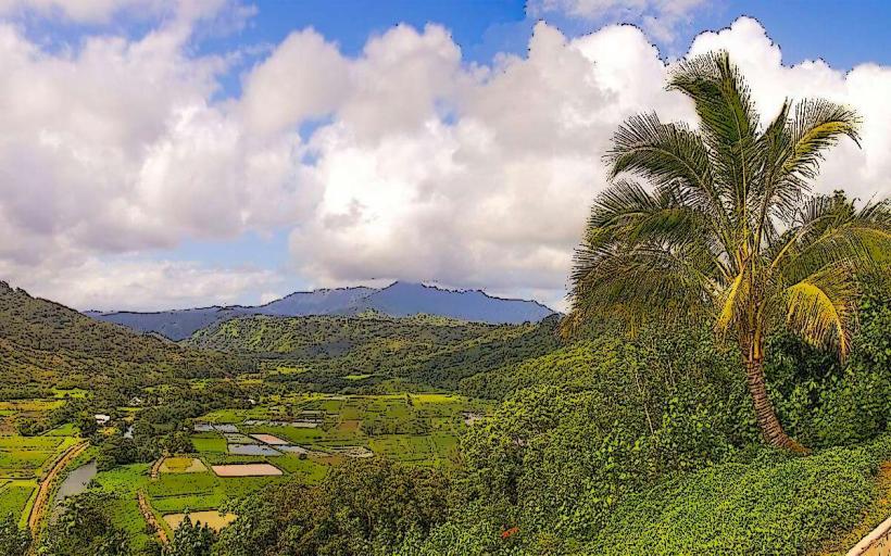
The trail follows the rugged coastline, descending into valleys and ascending to ridges. Vegetation is dense, primarily tropical rainforest with significant fern and vine growth. The path itself is often narrow, unpaved, and can be muddy. Ocean views are prevalent, with sheer sea cliffs dropping to the Pacific Ocean.
Location & Access Logistics
Access to the Kalalau Trailhead is via the end of Kuhio Highway (Route 56) at Hanalei. The trailhead is located at the end of the road at Ke'e Beach. Parking at Ke'e Beach is limited and requires reservations. Public transport to the trailhead is not available; private shuttle services or taxis are the primary options. The trail begins at sea level and climbs to an elevation of approximately 4,000 feet (1,200 m) at its highest point.
Historical & Ecological Origin
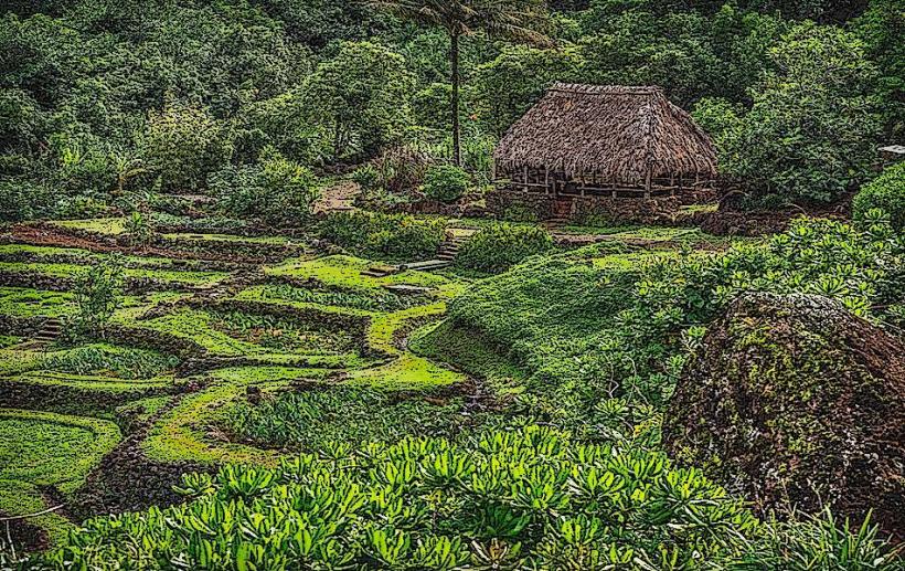
The trail was originally used by ancient Hawaiians for travel and to access agricultural lands and fishing sites. It is a natural geological formation, following the contours of the Na Pali Coast, which is characterized by steep, fluted cliffs formed by erosion of volcanic rock.
Key Highlights & Activities
Hiking is the primary activity. The trail is divided into sections: Ke'e Beach to Hanakapi'ai Beach (2 miles one-way), Hanakapi'ai Beach to Hanakoa Valley (2 miles one-way), and Hanakoa Valley to Kalalau Beach (2 miles one-way). Overnight camping requires permits. Swimming is possible at Hanakapi'ai Beach during calm conditions, but ocean currents are strong.
Infrastructure & Amenities
Restrooms are available at the trailhead at Ke'e Beach and at Hanakapi'ai Beach (pit toilets). There are no other facilities along the trail. Cell phone signal is intermittent to non-existent for most of the trail. No food vendors are present on the trail; visitors must carry all supplies.
Best Time to Visit
The best months for hiking are generally May through September, during the drier summer season. The trail can be hazardous during the wet winter months (October through April) due to heavy rainfall, flash floods, and slippery conditions. Early morning offers cooler temperatures and better light for photography of the coastline.
Facts & Legends
The trail is known for its challenging terrain and the potential for dangerous river crossings, especially after rainfall. A local legend states that the spirits of ancient Hawaiians inhabit the valleys, and hikers are advised to show respect for the land.
Nearby Landmarks
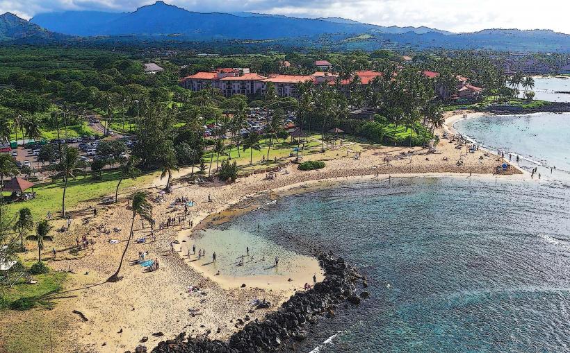
Ke'e Beach: Located at the trailhead, 0km North.
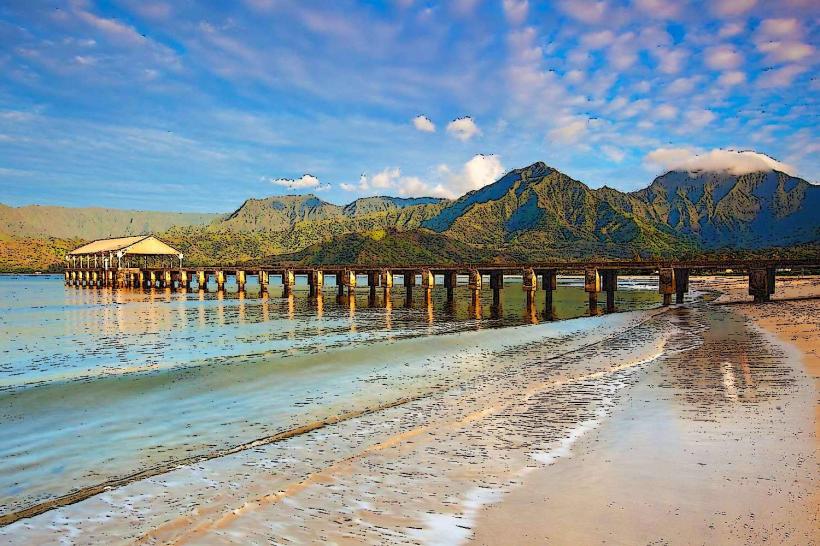
Hanalei Bay: Approximately 8km West.
Wailua River State Park: Approximately 30km Southeast.
Poipu Beach: Approximately 50km Southwest.