Information
Landmark: Koke'e State ParkCity: Kauai
Country: USA Hawaii
Continent: North America
Koke'e State Park, Kauai, USA Hawaii, North America
Koke'e State Park is a protected natural area situated on the island of Kauai, Hawaii, USA.
This park encompasses a significant portion of the island's high-elevation plateau, featuring deep canyons and diverse ecosystems.
Visual Characteristics
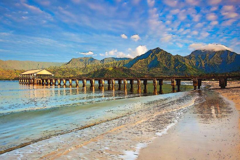
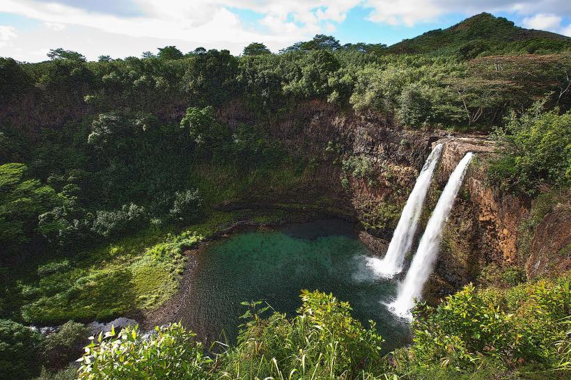
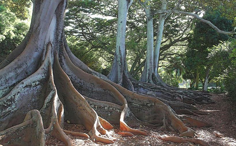
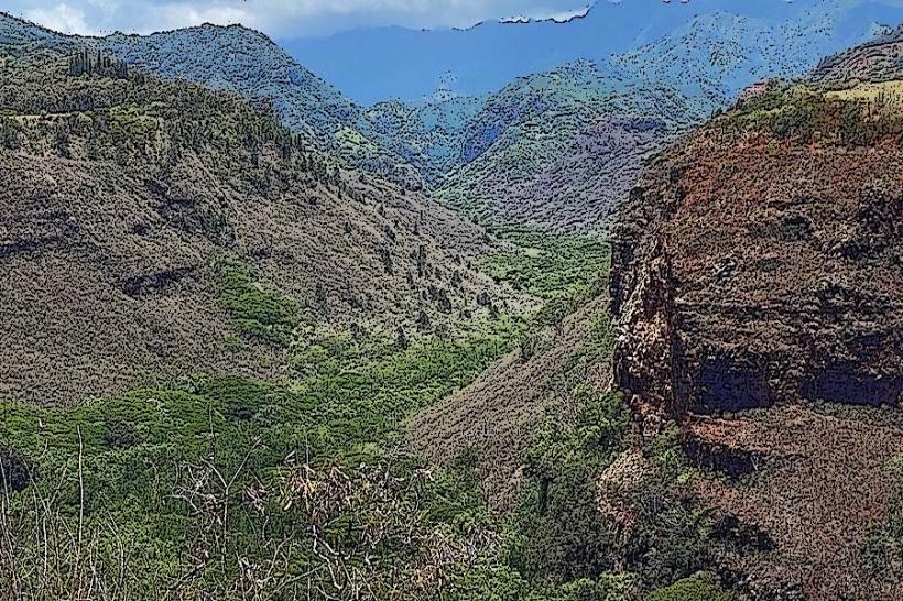
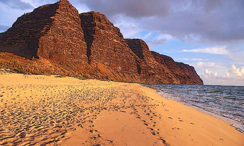
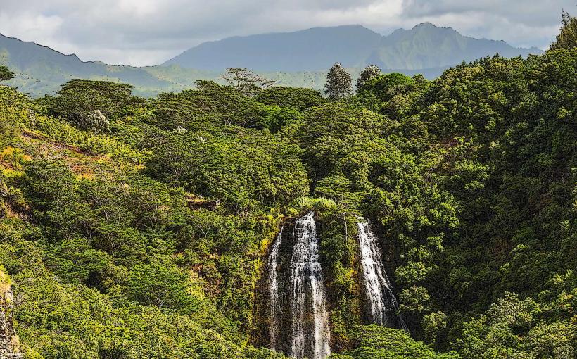
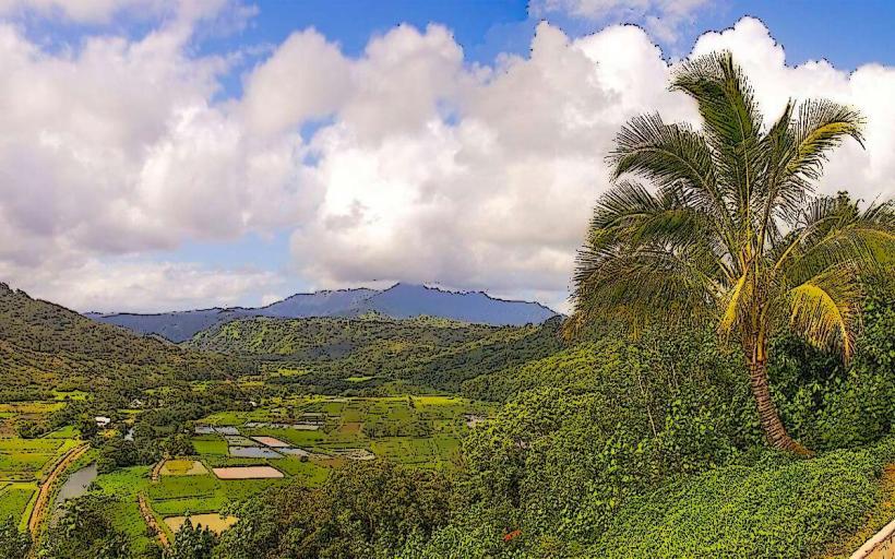
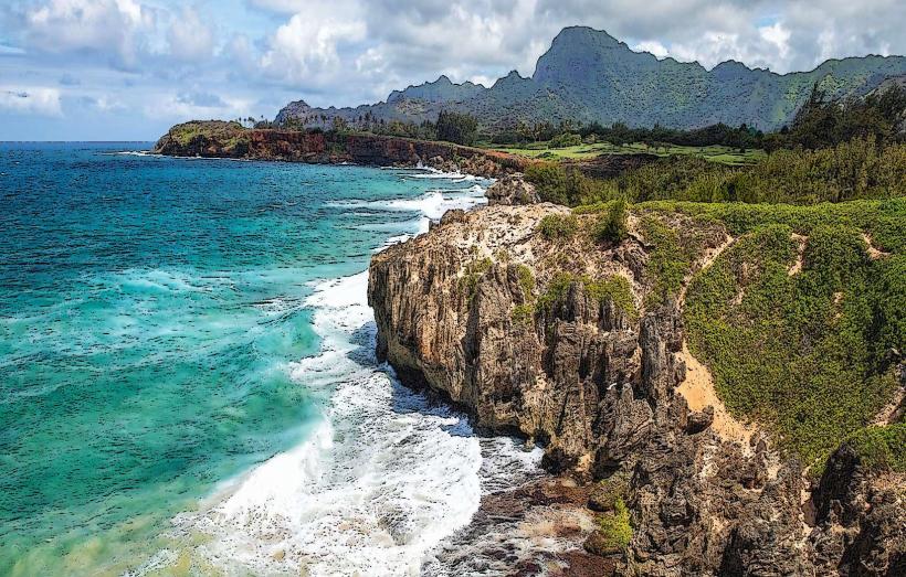
The park's landscape is characterized by steep, verdant valleys, most notably the Kalalau Valley, which plunges over 3,000 feet. Vegetation includes native Hawaiian rainforest species such as koa, ohia, and various ferns. The higher elevations are often cooler and can experience cloud cover, affecting visibility. Rock formations are primarily basaltic, shaped by volcanic activity and erosion.
Location & Access Logistics
Koke'e State Park is located in northwestern Kauai. Access is via State Highway 550 (Koke'e Road) from Waimea. The park entrance is approximately 22 miles from the town of Waimea. Parking is available at designated lots near the lodge and various lookouts. Public transportation to the park is limited; visitors typically require a private vehicle.
Historical & Ecological Origin
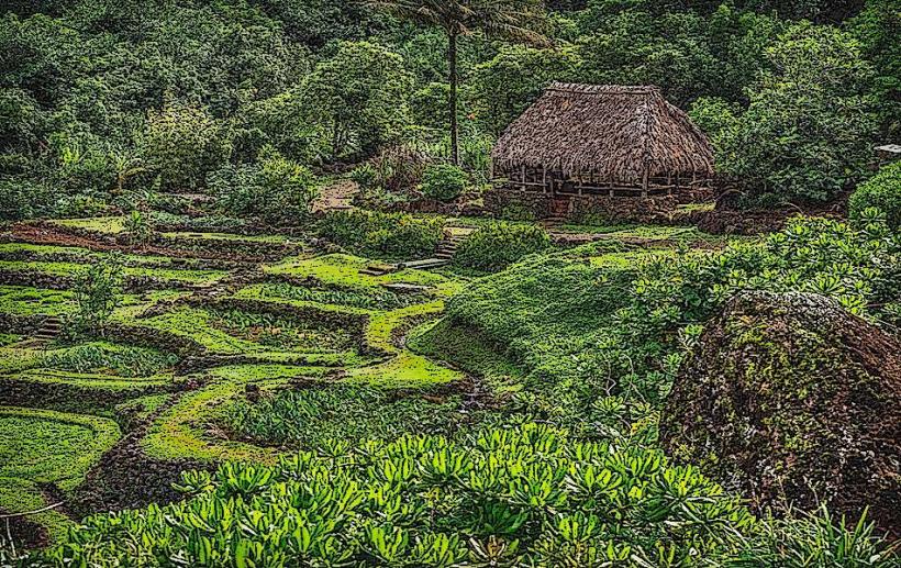
The park's geological origin is tied to the formation of the Kauai island, one of the oldest Hawaiian Islands, formed by volcanic activity over millions of years. The deep canyons are a result of extensive erosion by rivers and rainfall. Historically, the area was used by native Hawaiians for agriculture and resource gathering. The park was established to preserve its unique natural and cultural heritage.
Key Highlights & Activities
Observation decks at the Pu'u O Kila Lookout and the Kalalau Lookout provide panoramic views of the Na Pali Coast and Kalalau Valley. Hiking trails range from short, paved paths to strenuous multi-day treks. The park offers opportunities for birdwatching, photography, and picnicking. The Koke'e Natural History Museum provides information on the park's flora, fauna, and geology.
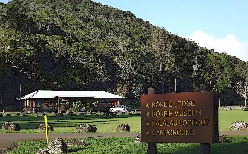
Infrastructure & Amenities
Restrooms are available at the main lodge area and some trailheads. Picnic tables are scattered throughout the park. Shade is provided by the natural tree canopy in many areas. Cell phone signal is intermittent and generally unreliable within the park boundaries. Food vendors are not present within the park; visitors should bring their own supplies.
Best Time to Visit
The best time of day for photography is generally mid-morning to early afternoon when sunlight illuminates the valleys. The driest months are typically from April to October, though rainfall can occur year-round. Visibility of the Na Pali Coast can be affected by cloud cover, which is more prevalent in the mornings and during winter months.
Facts & Legends
A local legend speaks of the Menehune, a mythical people said to have inhabited Kauai before the arrival of the Polynesians, and their connection to the construction of ancient Hawaiian structures found in the region. The park's elevation means temperatures are significantly cooler than at sea level, often by 10-15 degrees Fahrenheit.
Nearby Landmarks
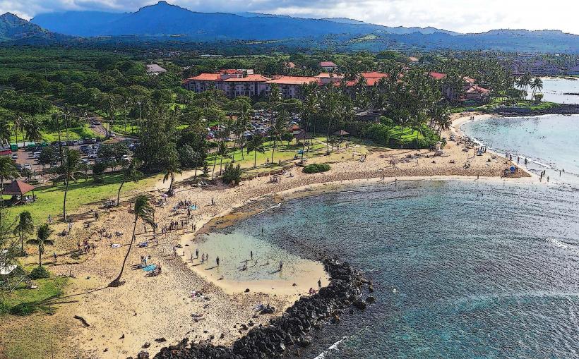
- Waimea Canyon State Park (0.5km South)
- Pu'u Hinahina Lookout (1.2km South)
- Alakai Swamp Trailhead (3.0km North)
- Pihea Trailhead (3.5km North)
- Menehune Garden (4.8km Southwest)