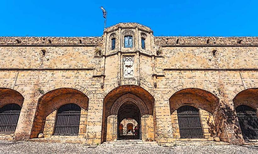
Information
Landmark: Kamiros Ancient CityCity: Rhodes
Country: Greece
Continent: Europe
Kamiros Ancient City, Rhodes, Greece, Europe
Kamiros (Kameiros) is an extensive archaeological site on the northwest coast of Rhodes, approximately 30 km from Rhodes Town. It is one of the three ancient city-states of Rhodes, alongside Ialysos and Lindos, and is often referred to as the "Pompeii of Greece" due to its remarkably well-preserved residential layout.
Visual Characteristics
The city is built amphitheatrically on a hillside overlooking the Aegean Sea. Unlike the monumental Acropolis of Lindos, Kamiros provides a clear view of an ancient urban grid. It is divided into three distinct levels: the lower terrace (religious center), the middle terrace (residential area), and the upper terrace (Acropolis and water systems). The predominant material is local gray stone and limestone.
Location & Access Logistics
Position: Situated on a remote stretch of the western coast, far from major hotel hubs.
Transit: Accessible via the coastal road. Limited public bus service is available from Rhodes Town; private vehicle or organized tour is the standard method of access.
Hours: Typically 08:00–20:00 (Summer); 08:30–15:30 (Winter). Closed on Tuesdays.
Entry: Paid admission.
Terrain: Steep inclines and uneven stone paths. Visitors must be prepared for a vertical ascent to reach the Acropolis.
Historical & Ecological Origin
Founded by the Dorians, Kamiros reached its peak during the 6th and 5th centuries BC. The city was rebuilt following a massive earthquake in 226 BC. Unlike Rhodes Town, Kamiros was never fortified with massive medieval walls, and it was eventually abandoned as residents moved to the newly established city of Rhodes in 408 BC. The site was rediscovered and excavated by Italian archaeologists between 1928 and 1943.
Key Highlights & Activities
The Stoa: A massive 200-meter-long Hellenistic portico on the upper terrace, featuring a double row of Doric columns.
The Great Cistern: A sophisticated water storage system from the 6th century BC capable of holding $600\text{ m}^3$ of water, serving up to 400 families.
The Residential Blocks: Intact foundations of Hellenistic houses showing the ancient Greek urban planning system (Hippodamian grid).
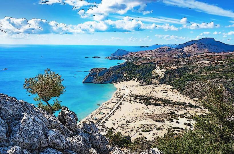
Temple of Athena Kameiras: Located at the highest point, providing a tactical view of the coastline and the islands of Halki and Alimia.
Infrastructure & Amenities
Facilities: A small ticket office, a snack bar, and restrooms are located at the entrance.
Accessibility: Low. The site’s steep topography and rugged ancient paving make it difficult for those with mobility impairments.
Connectivity: 5G signal is generally stable, but can be weak at the base of the hill.
Signage: Informational plaques in Greek and English provide context for the various city sectors.
Best Time to Visit
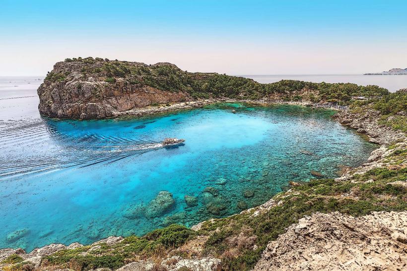
Early Morning: The western coast is highly exposed to wind and sun. Morning visits avoid the peak heat and provide clear visibility of the neighboring islands.
Spring: The site is famous for its abundance of wildflowers (including rare orchids) that grow among the ruins during March and April.
Facts & Legends
A verified historical fact is that Kamiros was the first Rhodian city to mint its own coins, reflecting its early economic dominance through the export of olive oil and wine. Local lore suggests the city was named after Kameiros, a grandson of the Sun God Helios, establishing its divine mythical lineage.
Nearby Landmarks
Ancient Ialysos: 22 km Northeast
Monolithos Castle: 35 km Southwest
Valley of the Butterflies (Petaloudes): 15 km Southeast