Information
Landmark: Kawishiwi FallsCity: Ely
Country: USA Minnesota
Continent: North America
Kawishiwi Falls, Ely, USA Minnesota, North America
Kawishiwi Falls – In Detail
Overview
Kawishiwi Falls is one of northeastern Minnesota’s most accessible and photogenic waterfalls, located just east of Ely. It is renowned for its natural beauty, short and manageable hiking trail, historical significance, and its role in the interconnected waterways of the Boundary Waters region. Though modest in size compared to some national park waterfalls, Kawishiwi’s combination of raw power, mossy rock surroundings, and lush forest makes it a beloved stop for visitors of all experience levels.
Name Origin & Cultural Context
The word “Kawishiwi” comes from the Ojibwe language and roughly translates to “river of beavers” or “river full of beaver lodges,” pointing to the strong connection between Indigenous culture and the environment. This area was historically important to both the Ojibwe and French voyageurs, and the trail lies along what was once a key canoe portage between Garden and Fall Lakes-both part of the larger Boundary Waters Canoe Area Wilderness (BWCAW).
Location & Directions
Kawishiwi Falls is located about 5.3 miles (8.5 km) east of Ely, Minnesota, just off Fernberg Road (County Road 18). There is a small, unpaved parking area at the trailhead that fits roughly 8–10 vehicles. No permit or fee is required to hike this trail, and signage is minimal, so offline maps are useful for first-time visitors.
The Trail
Length: Approximately 0.8 miles round trip (loop format)
Estimated time: 20–30 minutes
Trail type: Forest loop with a spur to the waterfall
Surface: Packed earth, rocks, and boardwalk
Elevation gain: Minimal (~50–100 feet)
The trail begins with a slight descent from the parking area into thick forest. Hikers quickly enter a boreal woodland dominated by pine, birch, and spruce. Sections of the trail follow exposed tree roots-especially near the stream-creating unique visual patterns across the forest floor, often referred to as “natural sculptures.” Boardwalk sections cover marshy areas, particularly where the path approaches the falls.
The loop splits shortly after starting, allowing hikers to approach the waterfall from either side. Both paths are scenic, though the left fork offers a more direct and slightly easier approach to the waterfall viewpoint.
The Waterfall
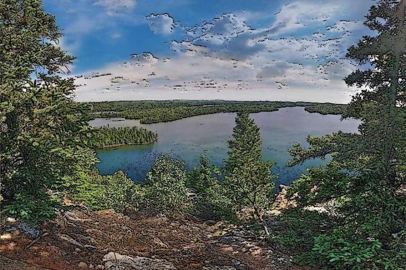
Kawishiwi Falls is roughly 70 feet high and consists of a wide, dramatic cascade that spills out of Garden Lake into Fall Lake via a dam system. Despite the dam’s presence, the natural character of the falls remains intact. The outflow generates consistent water movement year-round, with spring and early summer offering the most powerful flow due to snowmelt.
The waterfall is framed by rugged rocks, moss-covered boulders, and overhanging branches. From the main viewpoint-a rocky shelf above the falls-visitors can observe the full width of the cascading water. On quieter days, it’s not uncommon to see eagles overhead or hear loons calling in the distance.
Ecology & Natural Features
This part of the Superior National Forest is rich in biodiversity:
Flora: Includes jack pine, balsam fir, white birch, lichen, mosses, and wildflowers in warmer seasons.
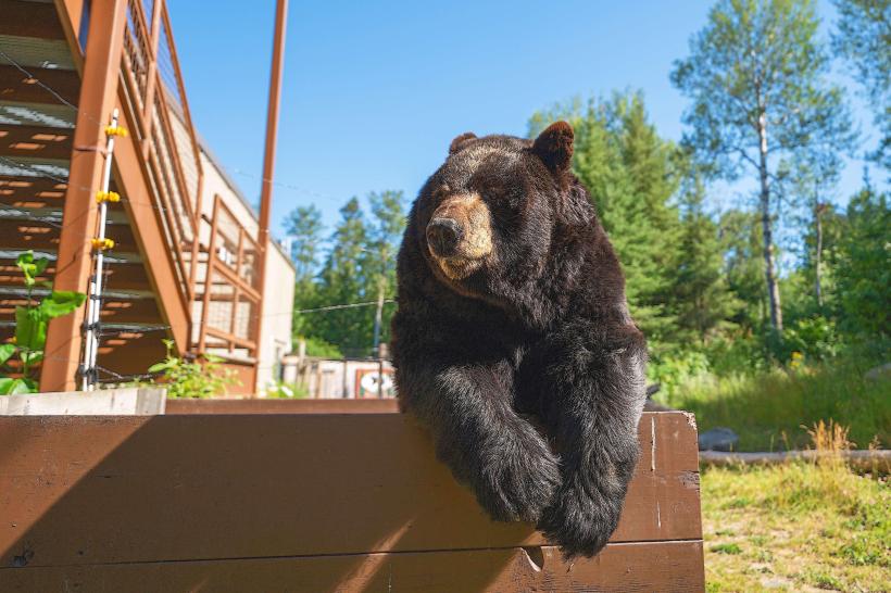
Fauna: Beavers, otters, white-tailed deer, red squirrels, and even black bears inhabit the surrounding woodlands. Birdwatchers may spot pileated woodpeckers, warblers, or raptors.
Geology: The rocks around the waterfall are part of the Canadian Shield-ancient volcanic formations dating back over 2 billion years.
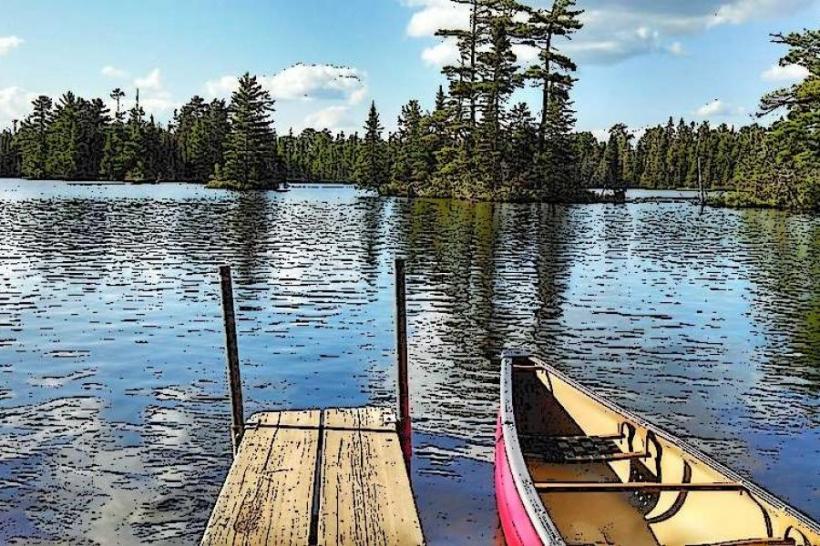
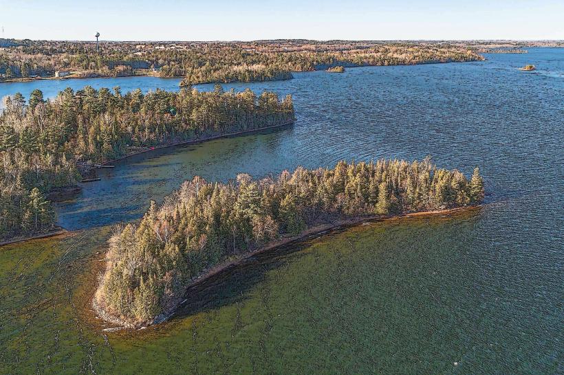
The river system is part of the Kawishiwi watershed, which ultimately feeds into the Rainy River and Hudson Bay. This vast network of interconnected lakes and rivers gives Ely its identity as a major canoeing destination.
Seasonal Experience
Spring: Best time for volume of water. The falls thunder with snowmelt, and fresh greenery begins to appear.
Summer: Warm temperatures bring dense canopy cover and a full palette of forest life. Mosquitoes can be heavy.
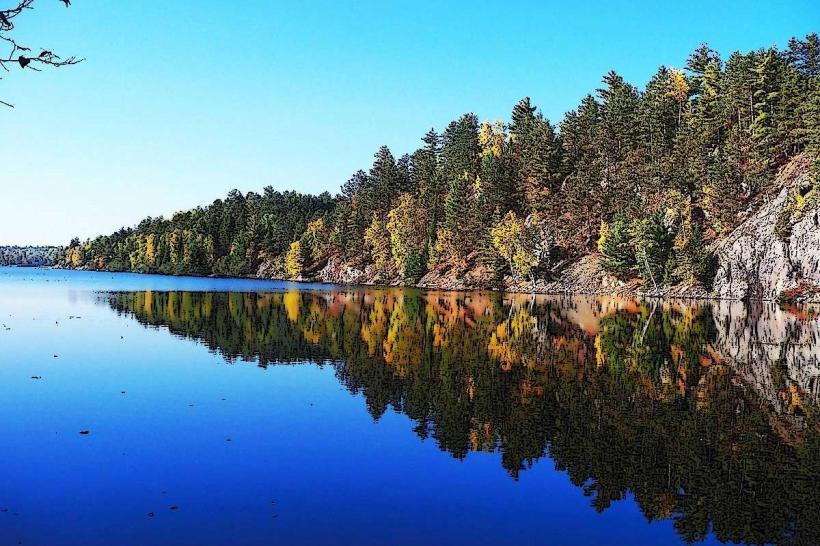
Fall: Brilliant autumn colors frame the trail, with golden aspen and red maples adding dramatic contrast to the dark rock and whitewater.
Winter: The falls partially freeze, forming crystalline layers and icy shelves. Snowshoes or ice cleats are often necessary. Very peaceful, but requires winter preparation.
Visitor Information & Safety
Footwear: Sturdy, closed-toe shoes are recommended due to the rocky and root-filled terrain. Trails may be slippery after rain.
Amenities: There are no restrooms, benches, or water stations on-site. Pack out all waste.
Dogs: Allowed on-leash. Owners should be mindful of wildlife and sensitive vegetation.
Photography: Morning and late afternoon light are ideal. The mossy rocks, mist, and dense forest make this a favorite for landscape photographers.
Cell Service: Generally unreliable. Visitors should download offline maps or bring printed trail directions.
Accessibility: The trail is not wheelchair accessible due to rocks, roots, and uneven surfaces.
Historical Significance
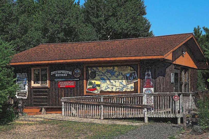
Kawishiwi Falls lies along traditional Indigenous portage routes and early logging trails. It also served as a key landmark in the development of local hydroelectric infrastructure. Though a dam now regulates the flow from Garden to Fall Lake, the waterfall retains much of its natural beauty. Interpretive signs at the trailhead explain the area's significance to both the Ojibwe people and Ely’s early economic development.
Nearby Attractions
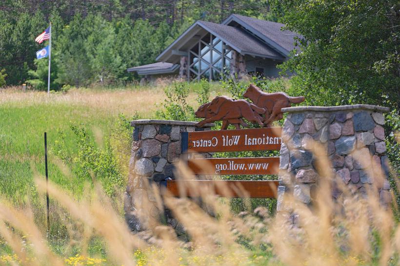
International Wolf Center – Just west in Ely, offering an immersive experience into wolf behavior and ecology.
Shagawa Lake – Popular for fishing and paddling, minutes from the trailhead.
Bear Head Lake State Park – Offers camping, hiking, and water activities less than 10 miles away.
Trezona Trail – A 4-mile paved loop trail around Miners Lake, ideal for biking or walking.
Summary
Kawishiwi Falls is a hidden gem-a short, peaceful hike that rewards with a dramatic waterfall, rich forest, and a sense of connection to both Indigenous history and Minnesota’s wild waterways. It’s an excellent side trip for visitors to Ely and a perfect blend of wilderness, accessibility, and scenic reward.