Information
Landmark: Kokra CanyonCity: Kranj
Country: Slovenia
Continent: Europe
Kokra Canyon, Kranj, Slovenia, Europe
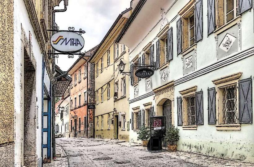
The Kokra River Canyon (Kanjon reke Kokre) is a 30-meter-deep limestone gorge located directly beneath the historic center of Kranj. It is unique as a protected natural monument situated in an urban environment, providing a transition between the city and the Alpine landscape.
Visual Characteristics
The canyon is characterized by its steep conglomerate cliffs and the emerald-green Kokra River. The riverbed is rocky, featuring numerous small waterfalls, rapids, and gravel banks. Vegetation is dense and lush, with deciduous trees and ferns that create a microclimate several degrees cooler than the city above. Remnants of medieval city walls and defensive towers are visible along the upper edges of the cliffs.
Location & Access Logistics
Address: 4000 Kranj, Slovenia (access points surrounding the old town).
Access: Several paths lead from the old town into the canyon. The most common entry points are via the staircase at the Jelenov klanec (Deer Hill), the path near Pungert, or the entrance by the Kokra Bridge.
Parking: Use the "Huje" parking lot (directly above the canyon) or the "Slovenski trg" underground garage.
Transport: The canyon is a 5-minute walk from the Kranj central bus station.
Historical & Ecological Origin
The canyon was formed during the Quaternary period as the Kokra River cut through the thick layer of conglomerate rock. Historically, the river provided a natural defense for the city on its eastern side. In the 19th and early 20th centuries, the riverbanks were used for tanning, milling, and as a public bathing area. It was declared a natural monument in 1983.
Key Highlights & Activities
The Nature Trail: A circular 1.5-kilometer educational path with information boards detailing the local flora, fauna, and geology.
Swimming and Relaxation: In summer, the gravel banks are used by locals for sunbathing and cooling off in the shallow river.
Photography: The area under the high Kokra Bridge offers views of the city's architecture perched on the cliff edges.
Flora and Fauna: The canyon is a habitat for various bird species, including the Dipper and Grey Wagtail, as well as distinct river-adapted plant life.
Infrastructure & Amenities
Facilities: Benches and educational signposts are located along the paths. Public restrooms are available at the upper level near the City Hall or at the Pungert children's playground.
Connectivity: 5G cellular signal is generally available but can weaken at the deepest parts of the gorge due to the rock walls.
Safety: The paths are well-maintained but can be slippery after rain. Lighting is minimal inside the canyon at night.
Best Time to Visit
The canyon is accessible year-round, 24 hours a day. It is most vibrant in late spring and early summer when the water levels are higher and vegetation is fully blooming. During hot summer days, it serves as a natural cooling zone for the city.
Facts & Legends
A geological oddity is the presence of "potholes" carved into the stone riverbed by the swirling motion of water and sand over millennia. Local oral tradition mentions that the caves within the canyon walls were used as hideouts during various historical conflicts and sieges.
Nearby Landmarks
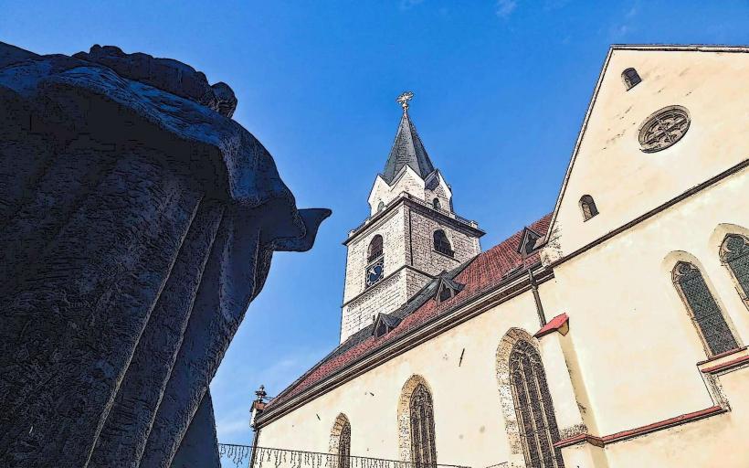
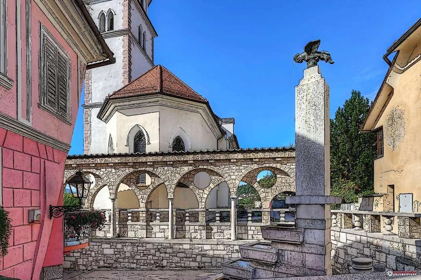
St. Cantianus Church – 0.2km West (above the cliff)
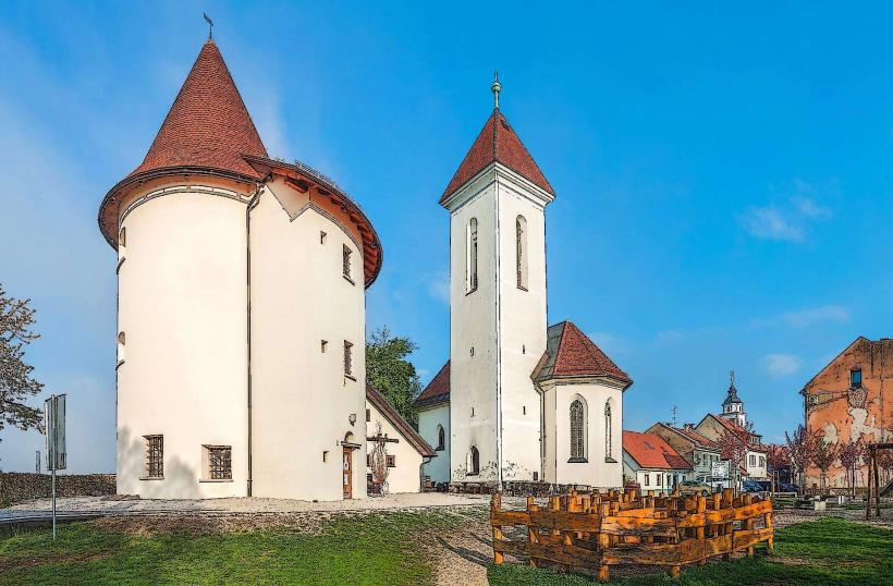
Pungert Towers – 0.3km South (above the cliff)
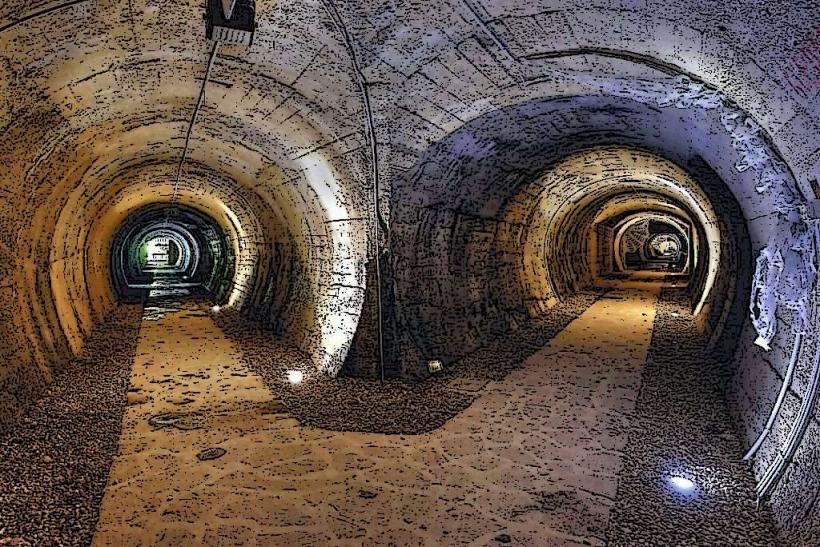
Tunnels under Old Kranj – 0.2km (lower exits open into the canyon)
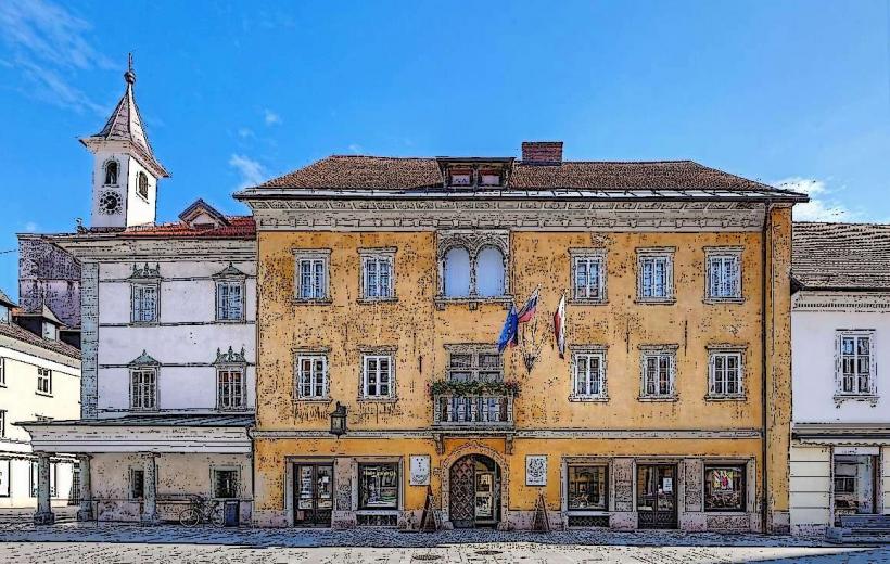
Kranj Town Hall – 0.2km West (above the cliff)
Khislstein Castle – 0.4km West