Information
Landmark: Kopački Rit Nature ParkCity: Osijek
Country: Croatia
Continent: Europe
Kopački Rit Nature Park, Osijek, Croatia, Europe
Kopački Rit is a nature park and sprawling floodway situated in eastern Croatia, at the confluence of the Drava and Danube rivers. Located approximately 12 kilometers northeast of Osijek, it is one of the largest and best-preserved fluvial-marshy wetlands in Europe.
Visual Characteristics
The landscape is a dynamic mosaic of channels, lakes, and flooded forests. During high water levels, the area resembles a vast inland delta. The vegetation is dominated by white willow and black poplar forests, while the water surfaces are often covered in white water lilies and yellow floating hearts. The terrain is exceptionally flat, with elevation varying by only a few meters, creating a mirror-like effect on the water surfaces.
Location & Access Logistics
The park is located in the Baranja region, accessible from Osijek via the D7 road.
Visitor Center: Located in the village of Kopačevo.
Transport: Local bus lines connect Osijek to Bilje and Kopačevo. Private vehicle or cycling is the most efficient method for reaching the park entrance.
Permits: Entry requires a ticket purchased at the reception center, which includes access to the educational trails and the boardwalk.
Historical & Ecological Origin
The park was established in 1967 and expanded to its current 17,700 hectares. It is a RAMSAR-protected site and part of the UNESCO Mura-Drava-Danube Transboundary Biosphere Reserve. Geologically, it is a result of the tectonic sinking of the Pannonian Basin and the subsequent meandering of the Danube and Drava rivers. The "pulsing" water level-rising and falling up to 9 meters-is the primary driver of its biological diversity.
Key Highlights & Activities
Birdwatching: The park is home to over 300 bird species, including the white-tailed eagle (Haliaeetus albicilla), which is the park's symbol, and the black stork.
Boat Tours: Guided tours via large excursion boats or smaller solar-powered boats navigate the Sakadaš Lake and the Great Chodor channel.
White Water Lily Trail: A 1.5-kilometer wooden boardwalk (Plaža) elevated above the marshland allows for pedestrian exploration of the wetland flora.
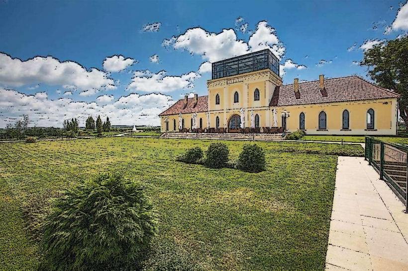
Tikveš Castle Complex: Located in the northern part of the park, this 19th-century hunting lodge served as a residence for the Habsburgs and later Josip Broz Tito.
Infrastructure & Amenities
The main visitor center features a multimedia exhibition and a gift shop. Public restrooms are located at the reception and near the Tikveš Castle. 4G/5G cellular coverage is generally stable, though it can weaken in the remote northern forest sections. Traditional restaurants (čarda) in Kopačevo and Bilje serve local Baranja specialties like fish paprikash.
Best Time to Visit
Spring (April–June): Optimal for observing bird migration and high water levels that flood the forests.
Autumn (September–October): The rutting season for the Red Deer, characterized by the "roaring" sounds throughout the forest.
Photography: Late afternoon provides the best lighting for capturing reflections on the calm channels and the silhouette of the white-tailed eagle.
Facts & Legends
The name "Kopački Rit" is derived from the Hungarian words kopacs (meadow) and ret (marshy meadow). Because the park is a natural drainage basin, it acts as a massive filter for the Danube, purifying the water before it continues downstream.
Nearby Landmarks
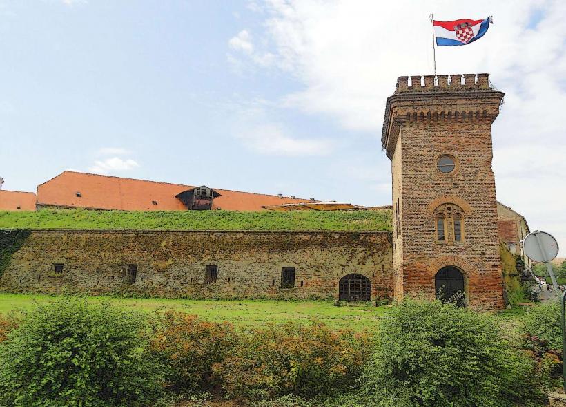
Osijek (Tvarda Fortress) – 12km Southwest
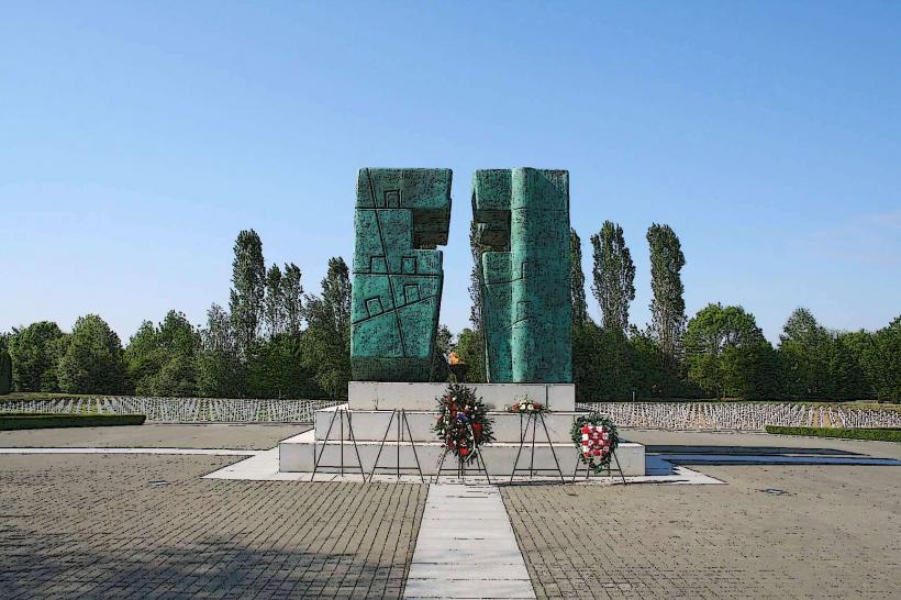
Batina Memorial – 25km North
Kneževi Vinogradi (Wineries) – 15km North
Drava River Mouth – 5km South
Zlatna Greda Eco-Center – 18km North