Information
Landmark: Koritnik MountainCity: Kukes
Country: Albania
Continent: Europe
Koritnik Mountain, Kukes, Albania, Europe
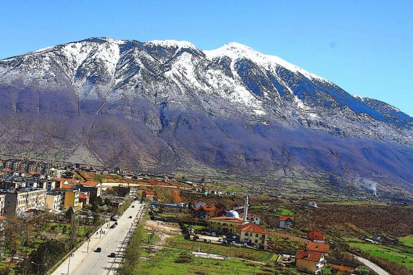
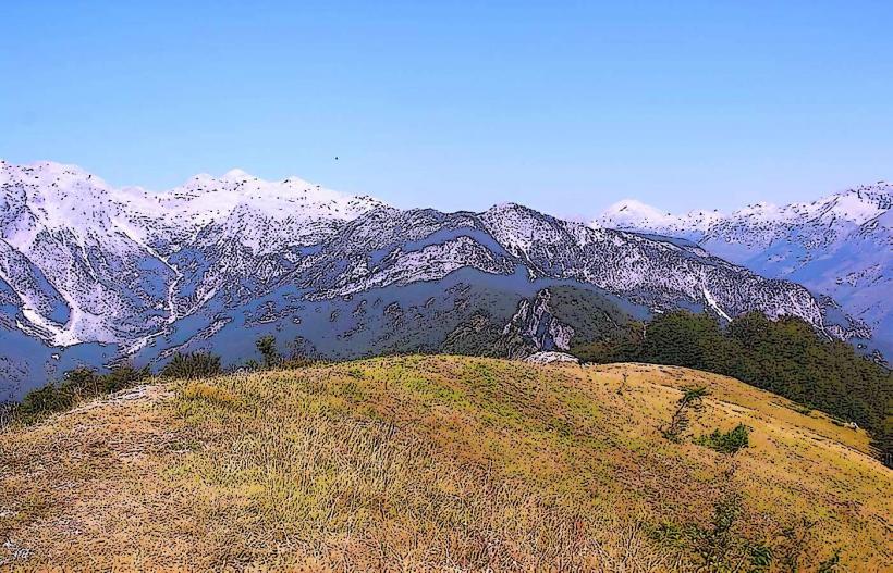
Koritnik Mountain is a limestone massif located in northeastern Albania near the city of Kukës, forming part of the Šar Mountains range. It sits on the border between Albania and Kosovo, reaching a peak elevation of 2,393 meters at Maja e Pikëllimës.
Visual Characteristics
The mountain is composed primarily of Triassic limestone, resulting in grey, jagged rock faces and steep vertical escarpments. The lower slopes are covered in dense European beech and coniferous forests, while the upper elevations consist of alpine meadows and barren karst terrain. Snow cover typically persists on the northern ridges from November through May.
Location & Access Logistics
The primary access point is from the city of Kukës via the SH31 road heading northeast toward the village of Shishtavec. Unpaved forest roads lead from the village toward the base of the mountain, requiring 4WD vehicles. Public transport is limited to local furgons (minibuses) traveling between Kukës and Shishtavec; the remainder of the ascent must be completed on foot via marked hiking trails.
Historical & Ecological Origin
Koritnik was formed through tectonic uplifting and glacial erosion during the Pleistocene epoch, creating its characteristic cirques and U-shaped valleys. Ecologically, it is part of the Sharr Mountains National Park, serving as a habitat for the Balkan lynx and golden eagle. Historically, the mountain served as a natural barrier and transit route for seasonal pastoralism.
Key Highlights & Activities
Hiking to the summit of Maja e Pikëllimës is the primary activity, offering views of the Drin River valley and Mount Gjallica. High-altitude grazing areas allow for the observation of traditional transhumance practices. The mountain is also utilized for backcountry skiing in winter and botanical surveying of endemic Balkan flora in spring.
Infrastructure & Amenities
There is no formal infrastructure on the mountain; there are no restrooms, visitor centers, or designated campsites with facilities. Reliable 4G cell signal is available on the ridges facing Kukës but drops out in deep valleys. Natural water springs are located at lower elevations, but no food vendors exist beyond the mountain villages at the base.
Best Time to Visit
The optimal window for summiting is between late June and September when trails are clear of snow and weather conditions are stable. For photography, early morning provides the best clarity for capturing the surrounding peaks without atmospheric haze. High-altitude storms are common in the afternoon during July and August.
Facts & Legends
The name of the highest peak, Maja e Pikëllimës, translates to "Peak of Sorrow." Local folklore attributes this name to a legend of a mother mourning her lost sons, though geographers suggest it may relate to the somber, desolate appearance of the grey limestone crags when shrouded in mist.
Nearby Landmarks
Gjallica Mountain – 4.5km Southwest
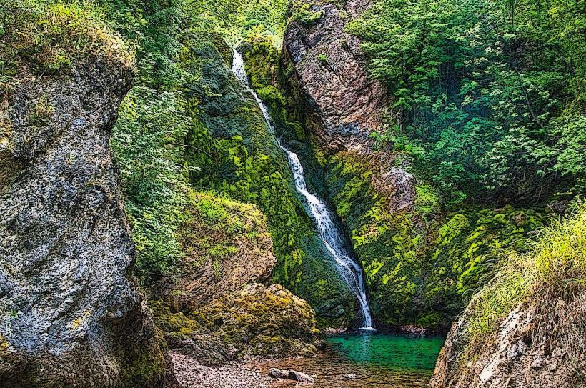
Luma River Canyon – 3.2km West
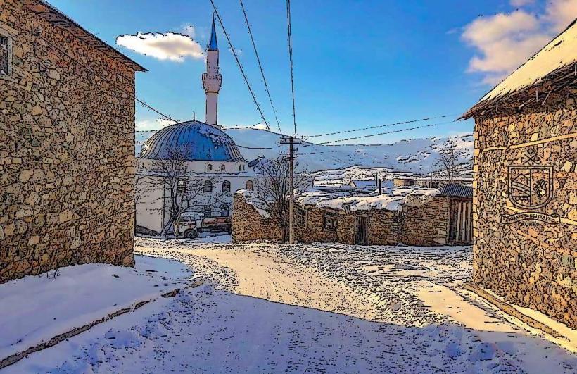
Shishtavec Village – 4.8km East
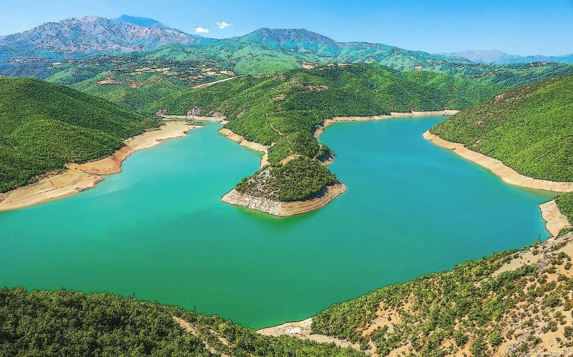
Fierza Lake (Kukës Branch) – 4.1km Northwest