Information
Landmark: Laguna de SalinasCity: Moquegua
Country: Peru
Continent: South America
Laguna de Salinas, Moquegua, Peru, South America
Laguna de Salinas is a high-altitude salt flat and lake located in the Moquegua region of Peru.
This geological formation serves as a critical habitat for various bird species and is a significant natural resource.
Visual Characteristics
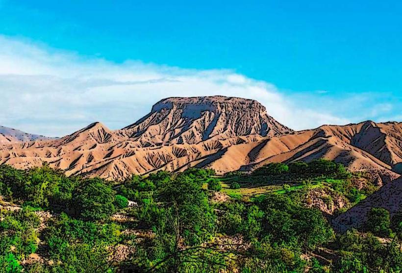
The area is characterized by extensive salt crusts, particularly during dry periods, which can appear white to off-white. During wetter seasons, a shallow body of water forms, reflecting the sky and surrounding arid landscape. The terrain is generally flat with sparse, low-lying vegetation adapted to saline conditions. Surrounding hills are composed of sedimentary rock and volcanic ash, exhibiting muted earth tones.
Location & Access Logistics
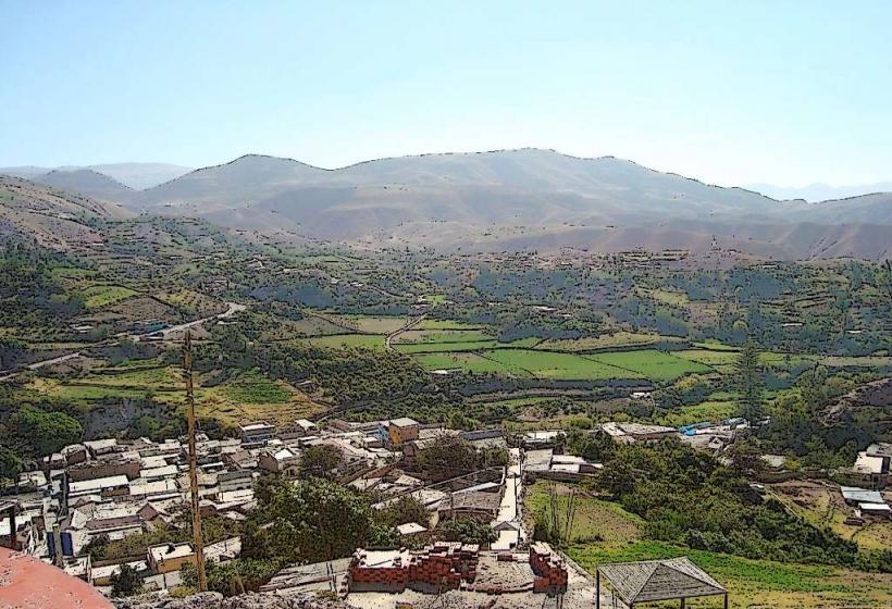
Laguna de Salinas is situated approximately 80 kilometers northeast of the city of Moquegua. Access is primarily via unpaved roads. The route from Moquegua involves taking the PE-34A highway towards Puno, then turning onto a secondary road (often requiring a 4x4 vehicle, especially after rain). The final approach to the laguna is on a rough track. There is no designated public transport to the site. Parking is informal, available on the dry lakebed or along the access track.
Historical & Ecological Origin
Laguna de Salinas is a natural salt flat formed by the evaporation of water in a closed basin, a process common in arid high-altitude environments. Its formation is linked to the geological history of the Andean Altiplano, involving tectonic activity and volcanic processes that created the basin. Ecologically, it is classified as a high-altitude saline wetland, supporting specialized flora and fauna.
Key Highlights & Activities
Birdwatching is a primary activity, with opportunities to observe flamingos, Andean gulls, and various shorebirds. Photography of the salt flats and the surrounding landscape is also a key attraction. Visitors can walk on the salt crusts when dry. Access to the water's edge is possible during periods of higher water levels.
Infrastructure & Amenities
There are no permanent infrastructure or amenities at Laguna de Salinas. Restrooms, shade structures, and food vendors are absent. Cell phone signal is generally unreliable or non-existent in the immediate vicinity. Visitors should come prepared with all necessary supplies, including water and food.
Best Time to Visit
The best time for birdwatching, particularly for flamingos, is during the dry season, typically from May to October, when the salt crust is most extensive and water levels are lower, concentrating food sources. For photography, early morning and late afternoon offer optimal lighting conditions due to the low angle of the sun. High tide is not a relevant factor for this salt flat environment.
Facts & Legends
A specific geological feature to note is the presence of gypsum crystals, which can form intricate formations on the salt crust. Local folklore sometimes attributes the salt deposits to ancient tears of the mountains, though geologically, it is a result of mineral-rich water evaporation over millennia.
Nearby Landmarks
- Cerro Baúl (15km Southwest)
- Santuario Nacional de Calipuy (45km Northwest)
- Valle de los Volcanes (60km West)
- Laguna Umayo (70km Northeast)