Information
Landmark: Machu LlactaCity: Moquegua
Country: Peru
Continent: South America
Machu Llacta, Moquegua, Peru, South America
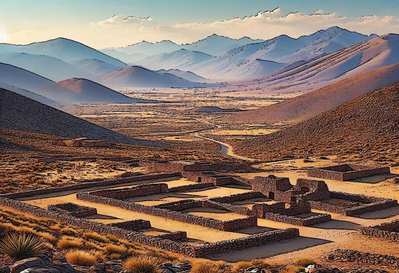
Machu Llacta is an archaeological site located in the Moquegua region of Peru. It comprises ancient stone structures and terraces situated on a mountainside.
Visual Characteristics
The site features primarily rough-hewn stone construction, with walls built from locally sourced granite. Terraces are carved into the hillside, demonstrating precise stonework. The structures are low-lying, typically one story, with rectangular doorways and window openings. Vegetation, including grasses and small shrubs, grows on and around the ruins.
Location & Access Logistics
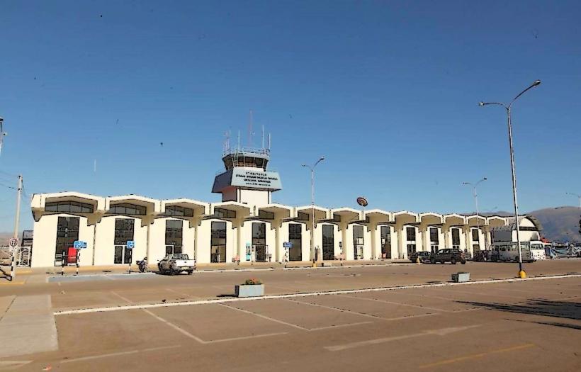
Machu Llacta is situated approximately 15 kilometers northwest of the city of Moquegua. Access is via the Moquegua-Omate highway (PE-34A). Turn off onto a gravel road approximately 10 kilometers from Moquegua, marked by a sign for the site. This gravel road extends for about 5 kilometers to a small parking area. From the parking area, a 15-minute walk on a well-defined dirt path leads to the main ruins. Public transport to the vicinity is limited; local taxis from Moquegua can be hired for the round trip, but arrangements for the return journey should be confirmed in advance.
Historical & Ecological Origin
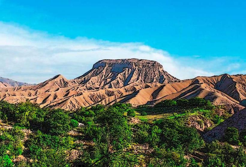
Machu Llacta is believed to have been constructed by the Inca civilization during the 15th century. Its original purpose is thought to be agricultural and possibly ceremonial, serving as a strategic outpost or administrative center within the region. The site is situated within a dry Andean ecosystem, characterized by arid slopes and sparse vegetation.
Key Highlights & Activities
Exploration of the main plaza area. Observation of the agricultural terraces. Walking the perimeter of the primary structures. Photography of the stonework and surrounding landscape.
Infrastructure & Amenities
There are no permanent restroom facilities or food vendors at Machu Llacta. Shade is minimal, provided only by natural rock overhangs in specific locations. Cell phone signal is unreliable within the site itself, though it may be available on the approach road.
Best Time to Visit
The best time of day for photography is generally between 9:00 AM and 11:00 AM, or 2:00 PM and 4:00 PM, to avoid harsh midday sun and capture softer lighting on the stone. The dry season, from April to October, offers the most favorable weather conditions with minimal rainfall. There are no tidal considerations for this inland site.
Facts & Legends
Local lore suggests that the site was a resting place for Inca messengers traveling between the coast and the highlands. A specific detail for visitors is to look for the precisely cut stones in the central wall, which are fitted without mortar and remain remarkably stable.
Nearby Landmarks
- Cerro Baúl (3.5km Southwest)
- Torata (8km Northwest)
- Moquegua City Center (15km Southeast)
- San Francisco Church, Moquegua (15.2km Southeast)
- Museo Contisuyo, Moquegua (15.5km Southeast)