Information
Landmark: Pucara de TilivicheCity: Moquegua
Country: Peru
Continent: South America
Pucara de Tiliviche, Moquegua, Peru, South America
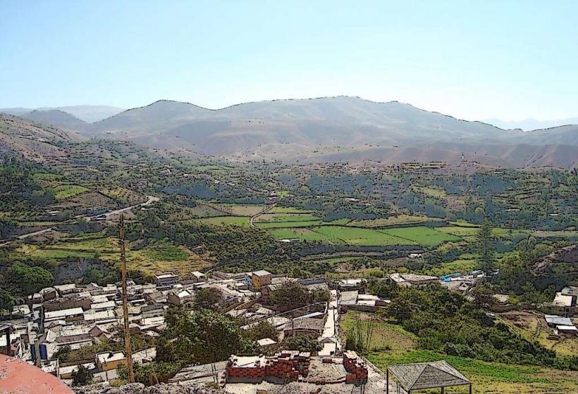
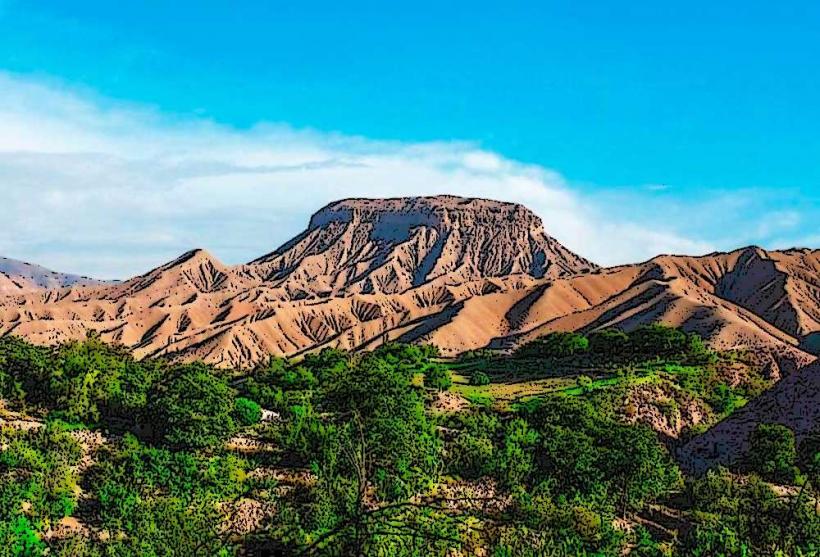
Pucara de Tiliviche is an archaeological site located in the Moquegua region of Peru. It is a pre-Inca fortification situated on a rocky outcrop.
Visual Characteristics
The site consists of stone structures built from local rock, primarily granite and andesite. Walls are constructed using dry-stone techniques. The structures are low-lying, with some reaching a height of approximately 2 meters. The architectural style is defensive, characterized by strategic placement and thick walls. The surrounding landscape is arid, with sparse desert vegetation.
Location & Access Logistics
Pucara de Tiliviche is located approximately 15 kilometers northwest of the city of Moquegua. Access is via the Moquegua-Ilo highway (PE-1S). Turn off onto an unpaved access road approximately 10 kilometers from Moquegua. The final 5 kilometers to the site are on this rough track, requiring a 4x4 vehicle or a significant walk. There is no designated parking; vehicles can be parked at the base of the outcrop. Public transport does not directly serve the site.
Historical & Ecological Origin
The Pucara de Tiliviche was constructed by the Chiribaya culture, which flourished between 900 and 1350 AD. Its primary purpose was defensive, serving as a strategic stronghold to control the surrounding territory and trade routes. The site is situated on a geologically stable granite formation, typical of the arid coastal mountain ranges of southern Peru.
Key Highlights & Activities
Exploration of the defensive walls and residential structures. Observation of the strategic layout of the fortification. Hiking to the summit for panoramic views of the valley. Photography of the architectural remains and the desert environment.
Infrastructure & Amenities
There are no facilities at Pucara de Tiliviche. Restrooms, shade, and food vendors are not available. Cell phone signal is intermittent to non-existent.
Best Time to Visit
The best time of day for photography is early morning or late afternoon to avoid harsh midday light and for optimal shadow contrast on the stone structures. The best months for visiting are from April to October, when temperatures are milder and rainfall is minimal. There are no tidal considerations.
Facts & Legends
A specific detail of interest is the presence of small, circular storage structures within the main fortification, suggesting a role in resource management. Local oral traditions do not contain widely documented legends specifically tied to this particular pucara, but it is understood within the context of regional pre-Inca defensive settlements.
Nearby Landmarks
- 0.5km Southeast: Cerro Baúl (archaeological site)
- 8km Southeast: Moquegua City Center
- 12km Southwest: Tumilaca (archaeological site)
- 15km Southwest: San Antonio (archaeological site)