Information
Landmark: Lake SuchitlánCity: Suchitoto
Country: El Salvador
Continent: North America
Lake Suchitlán, Suchitoto, El Salvador, North America
Lake Suchitlán is a reservoir located in the municipality of Suchitoto, El Salvador. It was formed by the damming of the Suchiapa River.
Visual Characteristics
The lake's surface is generally calm, reflecting the surrounding vegetation and sky. Its color varies from deep blue to greenish-brown depending on water depth and sediment content. The shoreline is characterized by a mix of dense tropical foliage and exposed earth in drier periods.
Location & Access Logistics
Lake Suchitlán is situated approximately 2 kilometers west of the city center of Suchitoto. Access is primarily via Carretera Panamericana (CA-1) and then turning onto local roads leading to the lake. Parking is available at designated points near the shore, particularly at the main access areas and boat launch sites. Public transport options include local buses that run between Suchitoto and surrounding towns, with stops within walking distance of the lake.
Historical & Ecological Origin
The lake was created in 1997 with the construction of the Cerrón Grande Dam, a hydroelectric project. The dam's primary purpose was to generate electricity and control flooding in the Lempa River basin. Ecologically, it is a man-made freshwater reservoir supporting a diverse range of aquatic life and bird species.
Key Highlights & Activities
Boat tours are available, offering views of the shoreline and opportunities for birdwatching. Fishing is permitted in designated areas. Kayaking and paddleboarding can be undertaken by individuals with their own equipment. Hiking trails are present along some sections of the lake's perimeter.
Infrastructure & Amenities
Restrooms are available at some of the more developed access points. Shade is provided by natural vegetation. Cell phone signal (4G) is generally available in areas close to Suchitoto, but can be intermittent near the lake's more remote sections. Food vendors are present at the main recreational areas.
Best Time to Visit
The best time of day for photography is generally in the early morning or late afternoon when the light is softer. The dry season, from November to April, offers more stable weather conditions. There are no specific tide requirements as it is a freshwater lake.
Facts & Legends
A local legend suggests that the lake is home to a mythical water spirit that protects its inhabitants. A verifiable fact is that the Cerrón Grande Dam, which created Lake Suchitlán, is one of the largest hydroelectric projects in El Salvador.
Nearby Landmarks
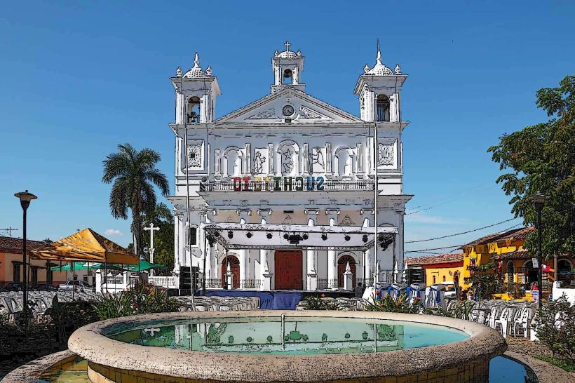
- Suchitoto Historic Center (1.5km East)
- Parque Nacional El Boquerón (Approx. 45km Southwest)
- Cerrón Grande Dam (3km Northwest)
- Ruinas de San Andrés (Approx. 30km Southwest)
- Joya de Cerén Archaeological Site (Approx. 35km Southwest)