Information
Landmark: Los Naranjos Archaeological SiteCity: Suchitoto
Country: El Salvador
Continent: North America
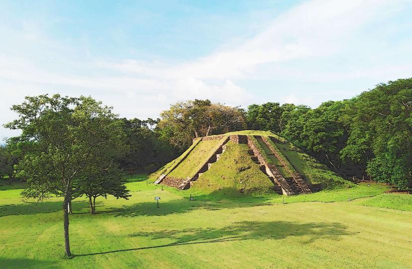
Los Naranjos Archaeological Site, Suchitoto, El Salvador, North America
Los Naranjos Archaeological Site is a pre-Columbian ruin located in the municipality of Suchitoto, El Salvador.
This site preserves remnants of a Maya settlement that existed for centuries.
Visual Characteristics
The site consists of several earthen mounds, the largest of which is approximately 15 meters in height. These mounds are covered in vegetation, primarily grass and scattered trees. The ground surface is predominantly soil and packed earth.
Location & Access Logistics
Los Naranjos is situated approximately 3 kilometers west of the city center of Suchitoto. Access is via the CA-4 highway, turning onto a dirt road marked for the archaeological site. Parking is available on-site in an unpaved lot. Public transport to Suchitoto is available via bus lines from San Salvador (e.g., V-440), with local taxis or mototaxis providing transport from Suchitoto to the site.
Historical & Ecological Origin
The site's origins date back to the Late Classic Maya period, roughly 600-900 AD. It served as a ceremonial and residential center for the Maya population in the region. The mounds are constructed from earth and clay, typical of Maya construction techniques for elevated platforms and structures.
Key Highlights & Activities
Exploration of the main ceremonial mound is permitted. Visitors can walk around the base of the structures. Archaeological interpretation panels are present at key points on the site.
Infrastructure & Amenities
Basic restroom facilities are available near the entrance. Limited shade is provided by scattered trees. Cell phone signal (2G/3G) is intermittent. No food vendors are present at the site; vendors are located in Suchitoto.
Best Time to Visit
The best time of day for site visits is between 9:00 AM and 3:00 PM to maximize daylight. The dry season, from November to April, offers the most favorable weather conditions, with less rainfall and lower humidity.
Facts & Legends
Local lore suggests that the largest mound, known as "El Cerro," was used for astronomical observations by the Maya priests. Artifacts recovered from the site include pottery shards and obsidian tools, indicating trade networks with other Maya centers.
Nearby Landmarks
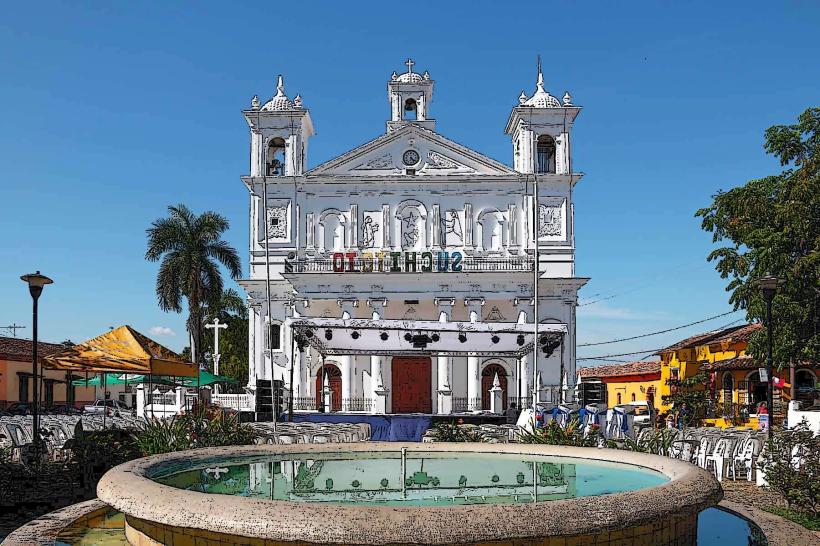
- 0.5km East: Suchitoto City Center
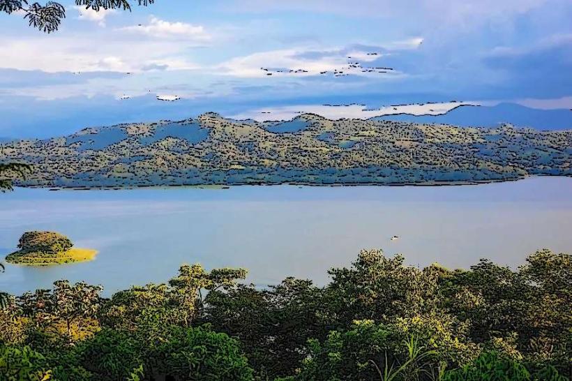
- 1.2km Northeast: Lake Suchitlán
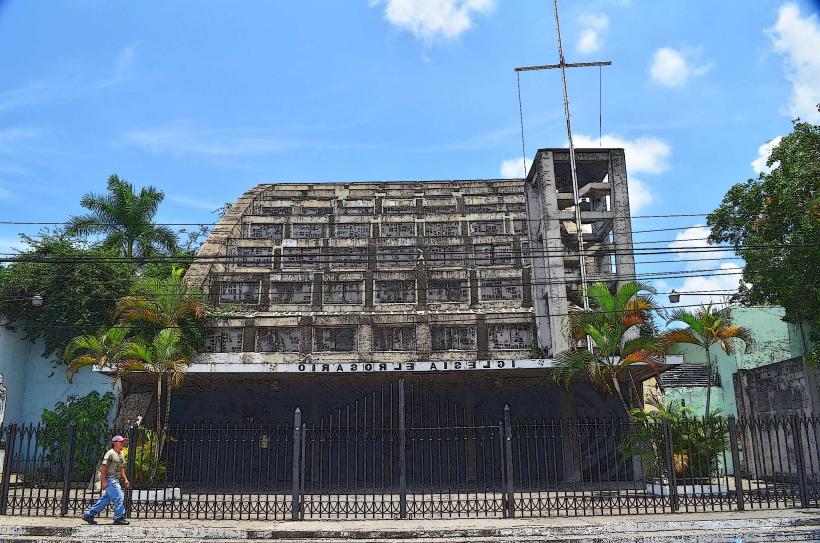
- 3.5km South: Iglesia Santa Lucia (Suchitoto)
- 4.0km Southwest: Museo de la Pasión