Information
Landmark: Litchfield Hills Scenic BywayCity: Litchfield
Country: USA Connecticut
Continent: North America
Litchfield Hills Scenic Byway, Litchfield, USA Connecticut, North America
Litchfield Hills Scenic Byway is a designated scenic route in northwestern Connecticut, offering travelers a picturesque journey through Litchfield County’s rural landscapes, historic villages, and cultural landmarks. The byway highlights the region’s natural beauty, colonial history, and New England charm, making it both a recreational and educational experience for visitors.
Overview and Route
Length: Approximately 36 miles, running through Litchfield, Torrington, Kent, and surrounding towns.
Scenic Features: Winding roads pass through rolling hills, forests, rivers, and farmland, showcasing the classic New England countryside.
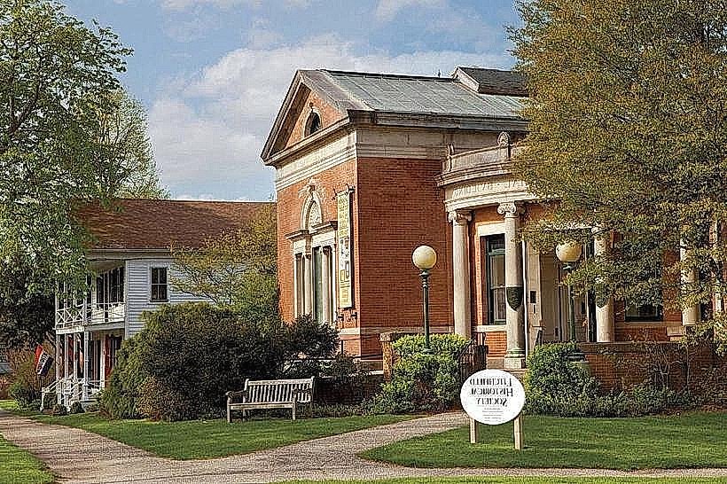
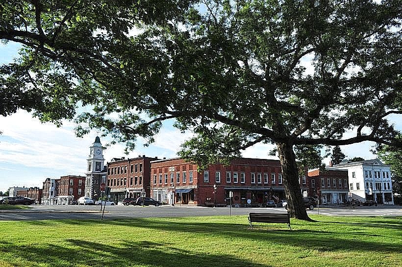
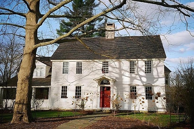
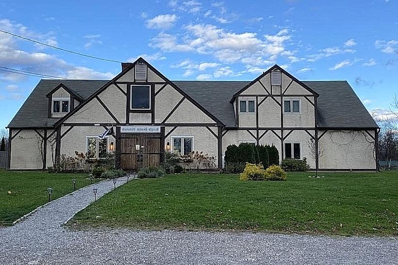
Historic Villages: The route connects historic town centers, including Litchfield Green, Bantam, and Sharon, featuring colonial and Federal-style architecture.
Accessibility: Well-marked with interpretive signage and pull-offs for viewing points, photography, and informational stops.
Natural and Cultural Highlights
Forests and Hills: Dense woodlands and elevated ridges offer expansive vistas, especially striking during fall foliage.
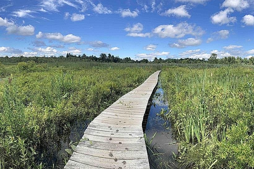
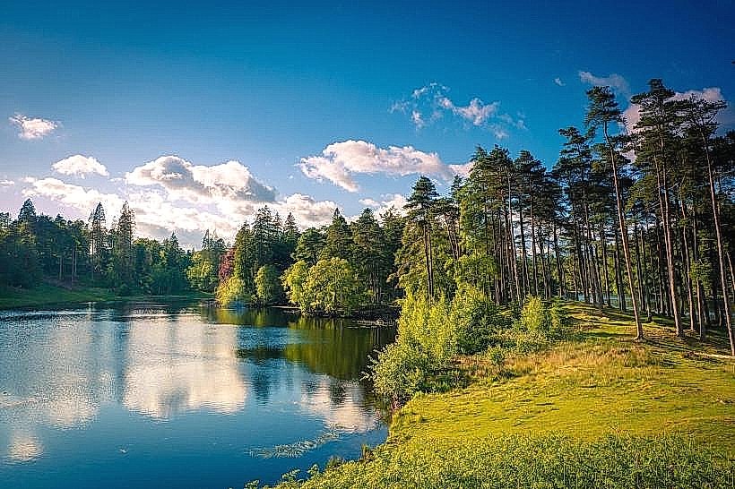
Water Features: The byway passes lakes, ponds, and rivers, including Bantam Lake and the Shepaug River, providing scenic water views and wildlife habitats.
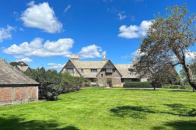
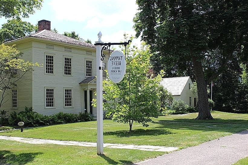
Historic Sites: Travelers encounter preserved colonial homes, public greens, and sites like the Tapping Reeve House, White Memorial Conservation Center, and other landmarks.
Agricultural Landscapes: Active farmland and orchards illustrate the region’s agrarian heritage, with seasonal produce stands and local markets along the way.
Recreational Opportunities
Driving Tours: Primarily enjoyed as a leisurely drive, allowing visitors to experience the scenery and stop at key landmarks.
Cycling and Walking: Sections of the byway accommodate cyclists, hikers, and nature enthusiasts who wish to explore the landscape on foot or bike.
Photography and Sightseeing: Numerous vantage points and historic sites provide opportunities for photography, birdwatching, and enjoying New England vistas.
Seasonal Attractions: Fall foliage tours, spring blooms, and winter snow-covered landscapes make the byway appealing year-round.
Community and Cultural Significance
Tourism and Economy: Supports local businesses, inns, restaurants, and cultural attractions by directing visitors through historic and scenic areas.
Historic Preservation: Encourages the protection of colonial architecture, town greens, and landscapes that define the Litchfield Hills region.
Cultural Education: Informative signage and interpretive stops provide insight into local history, geology, and environmental conservation.
Visitor Experience
Scenic Enjoyment: Rolling hills, forests, and water views create a tranquil and immersive journey through rural Connecticut.
Historic Engagement: Opportunities to explore museums, historic homes, and town centers along the route deepen understanding of local heritage.
Recreational Stops: Visitors can hike, picnic, fish, or simply relax at designated scenic overlooks and park areas.
Visitor Information
Location: Northwestern Connecticut, primarily within Litchfield County, including towns such as Litchfield, Torrington, Kent, and Sharon.
Hours: Open year-round; best experienced during daylight hours.
Admission: Free to drive; individual attractions along the route may have entrance fees.
Facilities: Pull-offs, parking areas, visitor centers, and nearby amenities at towns along the byway.
Litchfield Hills Scenic Byway is a premier route for exploring Connecticut’s natural and historical landscapes, combining rolling hills, colonial architecture, and cultural landmarks. It offers travelers an immersive experience of New England’s scenic beauty, heritage, and rural charm, making it a key attraction for tourism and recreational exploration in Litchfield County.