Information
Landmark: Lower Manhattan (Downtown)City: Manhattan
Country: USA New York
Continent: North America
Lower Manhattan (Downtown), Manhattan, USA New York, North America
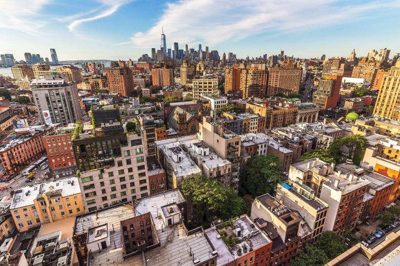
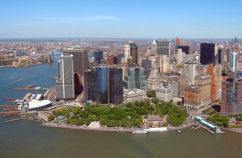
Lower Manhattan, also known as Downtown Manhattan, is the southernmost section of the island of Manhattan in New York City, USA.
This area serves as a primary Financial District and a historical hub for the city.
Visual Characteristics
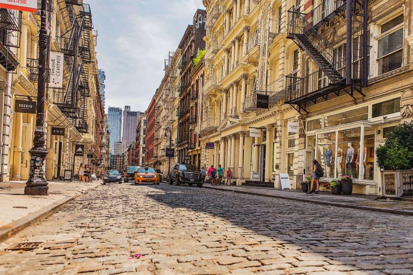
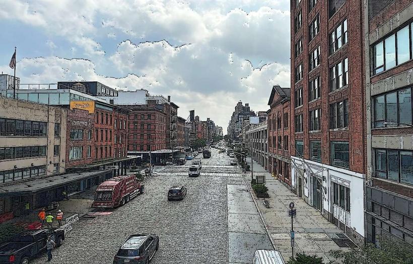
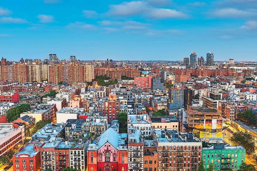
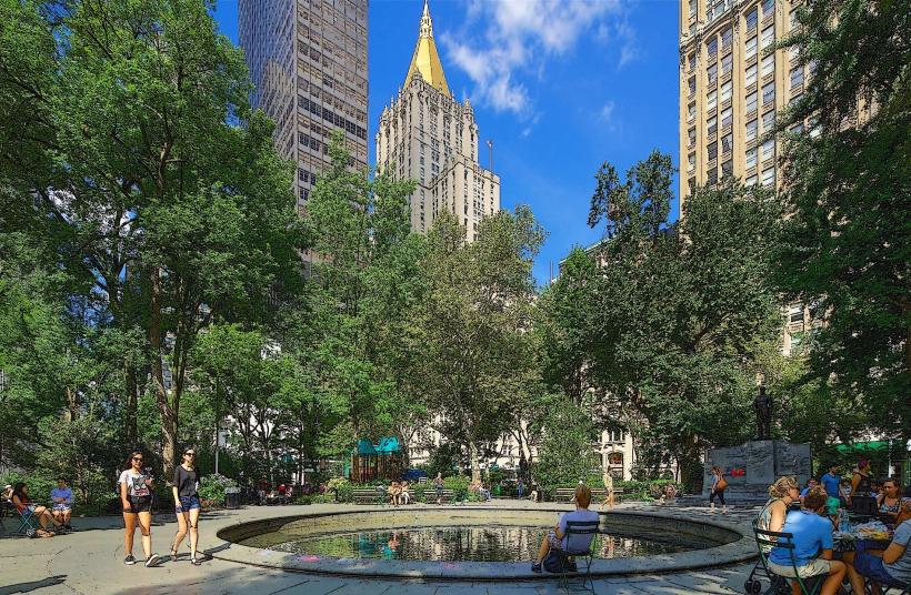
The area is characterized by a dense concentration of high-rise buildings, primarily constructed from steel, glass, and concrete. Architectural styles range from Art Deco to modern skyscrapers. Street-level views are dominated by paved surfaces, with limited green spaces concentrated in Battery Park and smaller plazas. The East River and Hudson River define its eastern and western boundaries, respectively.
Location & Access Logistics
Lower Manhattan is situated at the southern tip of Manhattan Island. It is accessible via numerous subway lines, including the 1, 2, 3, 4, 5, A, C, E, J, and Z trains, which converge at major stations like Fulton Street and Wall Street. Major roadways include FDR Drive (East River Drive) to the east and West Side Highway to the west. Parking is available in multi-level garages, though often at high cost. Ferry services operate from Pier 11 and Whitehall Terminal, connecting to Staten Island and various points in Brooklyn and New Jersey.
Historical & Ecological Origin
Originally inhabited by the Lenape people, the area was settled by the Dutch in 1624 as New Amsterdam, serving as the administrative and commercial center of the colony. It became the first capital of the United States under President George Washington. The area's development is a continuous process of land reclamation and urban construction, with its current form shaped by centuries of commercial and residential expansion.
Key Highlights & Activities
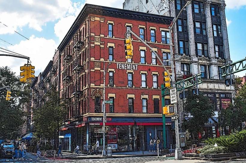
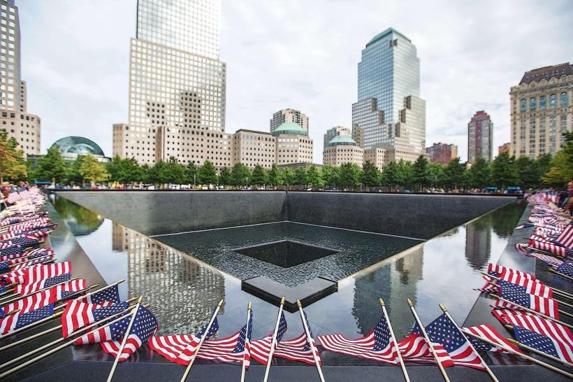
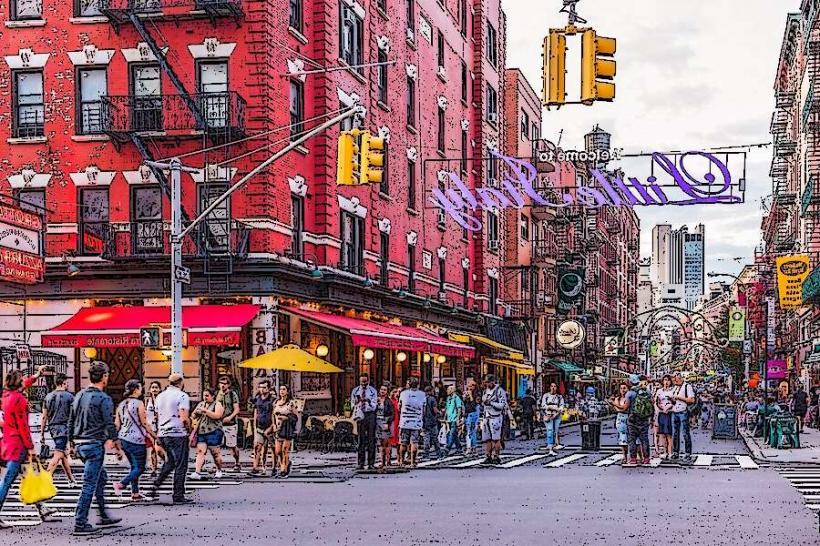
Visitors can observe the architecture of Wall Street, visit the National September 11 Memorial & Museum, and walk through Battery Park. The Staten Island Ferry offers free transit with views of the Statue of Liberty and the Manhattan skyline. The Charging Bull sculpture is a point of interest for photography. Exploring the historic streets of the Financial District and the South Street Seaport Museum are also options.
Infrastructure & Amenities
Restrooms are available in public parks, museums, and commercial establishments. Shade is provided by trees in parks and plazas, and by building overhangs. Cell phone signal (4G/5G) is generally strong throughout the area. Numerous food vendors, cafes, and restaurants are located within the district.
Best Time to Visit
For photography of the skyline, early morning or late afternoon light offers optimal conditions. Weekdays are busiest due to financial district operations; weekends offer a less crowded experience. Weather is generally most favorable during spring (April-May) and autumn (September-October), with average temperatures ranging from 15-25 degrees Celsius.
Facts & Legends
The Trinity Churchyard in Lower Manhattan is the burial site of Alexander Hamilton. A persistent urban legend suggests that the original Dutch settlers purchased Manhattan Island from the Lenape for trinkets valued at 60 Dutch guilders, a transaction that is historically debated in its interpretation and fairness.
Nearby Landmarks
- Battery Park (0.2km South)
- Wall Street (0.5km North)
- One World Observatory (0.8km Northwest)
- South Street Seaport Museum (1km Northeast)
- Staten Island Ferry Terminal (0.3km Southwest)