Information
Landmark: Maduru Oya National ParkCity: Polonnaruwa
Country: Sri Lanka
Continent: Asia
Maduru Oya National Park, Polonnaruwa, Sri Lanka, Asia
Maduru Oya National Park is a protected area situated in the eastern part of Sri Lanka, encompassing parts of the Polonnaruwa and Ampara districts. It serves as a significant wildlife sanctuary and a vital water catchment area.
Visual Characteristics
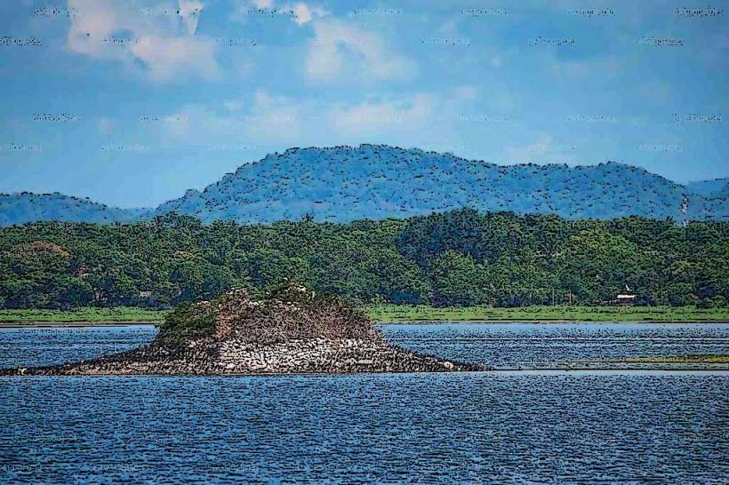
The park's terrain is characterized by undulating plains, rocky outcrops, and dense dry-zone scrub jungle. The Maduru Oya Reservoir, a central feature, is a large man-made body of water with varying water levels depending on the season. Vegetation consists primarily of thorny shrubs, scattered trees like palu and weera, and grasslands that dry out during the dry season. Rock formations are common, particularly in the western and southern sections.
Location & Access Logistics
Maduru Oya National Park is located approximately 200 kilometers northeast of Colombo. Access from Polonnaruwa is via the B507 road towards Welikanda, then continuing on unpaved tracks towards the park entrance. The journey from Polonnaruwa city center can take 2-3 hours. Limited parking is available at the main entrance and designated visitor areas. Public transport to the park is infrequent; bus services operate to nearby villages like Welikanda, requiring onward travel by private vehicle or tuk-tuk.
Historical & Ecological Origin
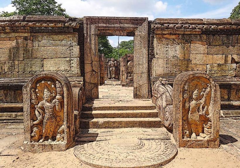
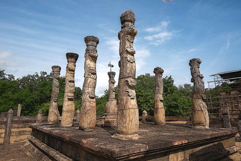
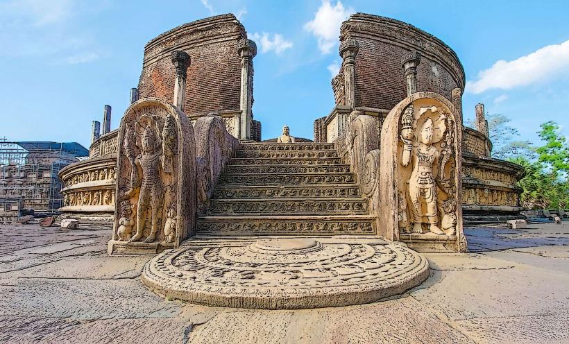
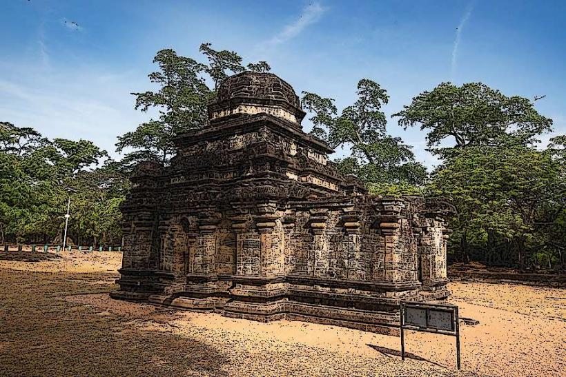
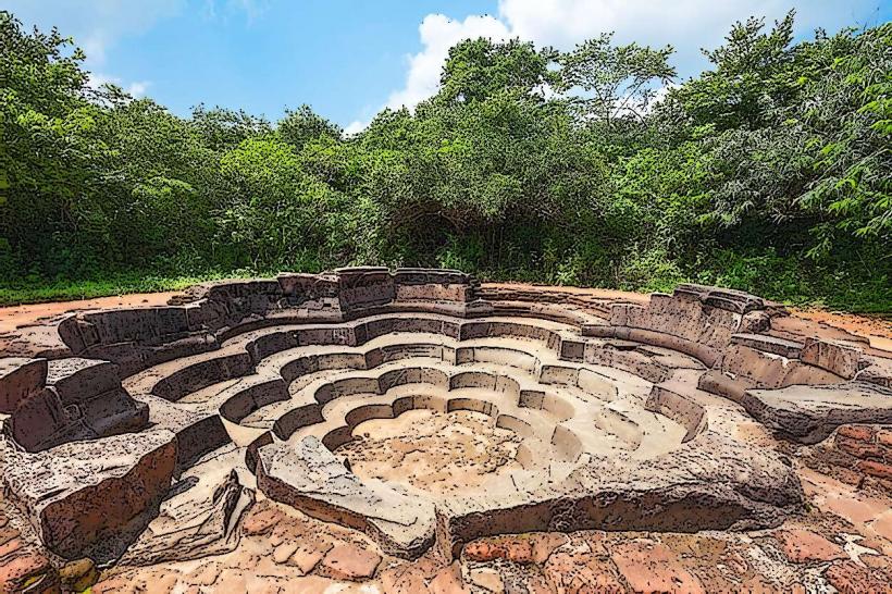
The park was established on August 9, 1983, primarily to protect the catchment area of the Maduru Oya Reservoir, which was constructed in 1982 as part of the Mahaweli Development Project. Ecologically, it is classified as a dry-zone forest ecosystem, supporting a diverse range of flora and fauna adapted to arid conditions. The area also contains archaeological sites, including ancient stupas and ruins, indicating past human settlement.
Key Highlights & Activities
Activities include wildlife safaris by jeep to observe elephants, deer, and various bird species. Birdwatching is a primary draw, especially around the reservoir. Visitors can explore designated walking trails, though these are not always well-maintained. Fishing is permitted in certain areas of the reservoir under specific regulations. The park's archaeological sites can be visited, requiring prior arrangement.
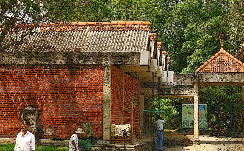
Infrastructure & Amenities
Basic facilities are available at the main entrance, including a visitor center and limited restroom access. Shade is primarily provided by natural tree cover within the park. Cell phone signal is intermittent and generally poor throughout the park. Food vendors are not present within the park; visitors should carry their own provisions. Accommodation options are limited to basic guesthouses outside the park boundaries.
Best Time to Visit
The best time for wildlife viewing is during the dry season, from May to September, when animals congregate around water sources. The early morning (6:00 AM - 9:00 AM) and late afternoon (3:00 PM - 6:00 PM) offer optimal lighting for photography and increased animal activity. The reservoir's water level is highest after the monsoon season (October-January), which can affect accessibility to certain areas.
Facts & Legends
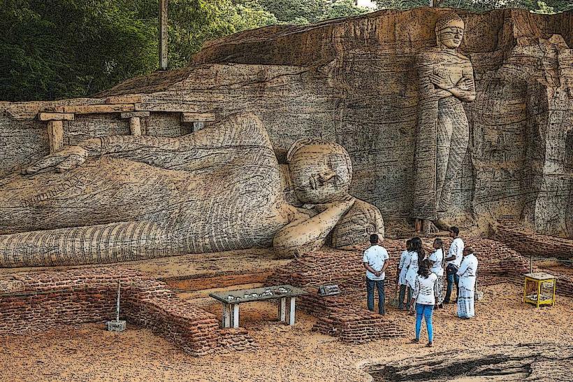
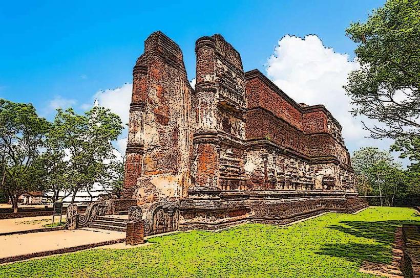
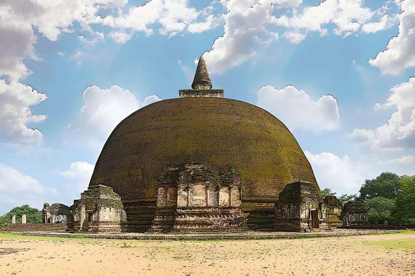
A notable historical aspect is the presence of ancient ruins within the park, including the remains of a dagoba and monastic structures, suggesting a significant Buddhist presence centuries ago. Local folklore speaks of the reservoir being guarded by ancient spirits, and caution is advised when venturing into less-traveled areas.
Nearby Landmarks
- Polonnaruwa Ancient City (35km Northwest)
- Minneriya National Park (45km West)
- Kaudulla National Park (50km West)
- Wasgamuwa National Park (60km Southwest)
- Ritigala Strict Nature Reserve (70km West)