Information
Landmark: Magic IslandCity: Honolulu
Country: USA Hawaii
Continent: North America
Magic Island, Honolulu, USA Hawaii, North America
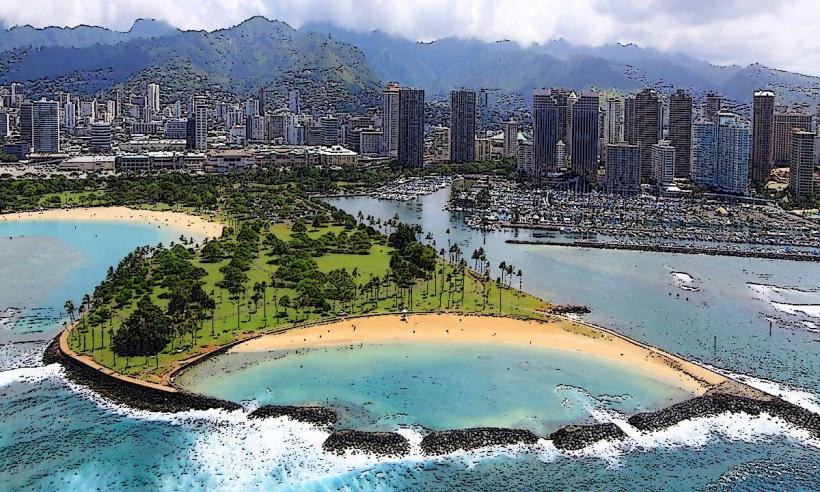
Magic Island is a man-made peninsula located in Honolulu, Hawaii, adjacent to Ala Moana Beach Park.
It serves as a public park and event space, offering views of the Honolulu skyline and the Pacific Ocean.
Visual Characteristics
The peninsula is characterized by its flat, grassy terrain, interspersed with paved walkways and concrete structures. It features a small, sheltered lagoon on its western side, with sandy beaches. The eastern side faces the open ocean. Vegetation consists primarily of palm trees and low-lying shrubs.
Location & Access Logistics
Magic Island is situated at the southern end of Ala Moana Beach Park, accessible via Ala Moana Boulevard. It is approximately 3.2 kilometers (2 miles) west of downtown Honolulu. Parking is available within Ala Moana Beach Park, with designated lots near the peninsula. Public transport options include TheBus routes 2, 8, 13, 19, 20, 42, and E, which stop along Ala Moana Boulevard.
Historical & Ecological Origin
Magic Island was created in the 1960s as part of a land reclamation project. It was originally intended to be a luxury hotel site but was later developed into a public park. The land was formed by dredging sand from the ocean floor.
Key Highlights & Activities
Visitors can walk or jog along the paved paths. The lagoon area is suitable for swimming and wading. The peninsula is a popular spot for watching sunsets and viewing fireworks displays from nearby events. Photography of the Honolulu skyline is a common activity.
Infrastructure & Amenities
Restrooms are available within Ala Moana Beach Park. Shade is provided by scattered palm trees. Cell phone signal (4G/5G) is generally reliable. Food vendors are not directly on Magic Island, but are present within Ala Moana Beach Park and along nearby streets.
Best Time to Visit
For photography, the late afternoon leading up to sunset offers optimal lighting conditions. The weather is generally pleasant year-round, with lower humidity and less rainfall typically occurring between April and October. High tide or low tide does not significantly impact access or activities on the peninsula itself.
Facts & Legends
A local anecdote suggests the name "Magic Island" originated from the area's perceived ability to make visitors forget their troubles. Historically, the land was part of the ancient ahupuaʻa (traditional Hawaiian land division) of Kewalo.
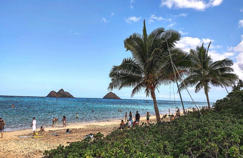
Nearby Landmarks
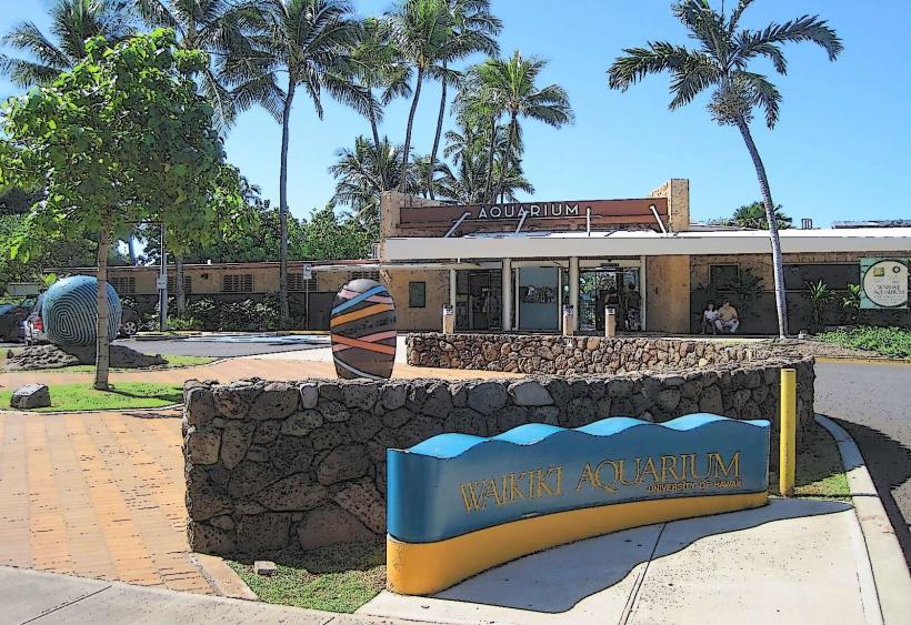
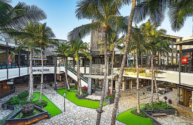
- Ala Moana Center (0.8km Northwest)
- Kewalo Basin Park (0.4km Southwest)
- Hawaii Convention Center (1.5km East)
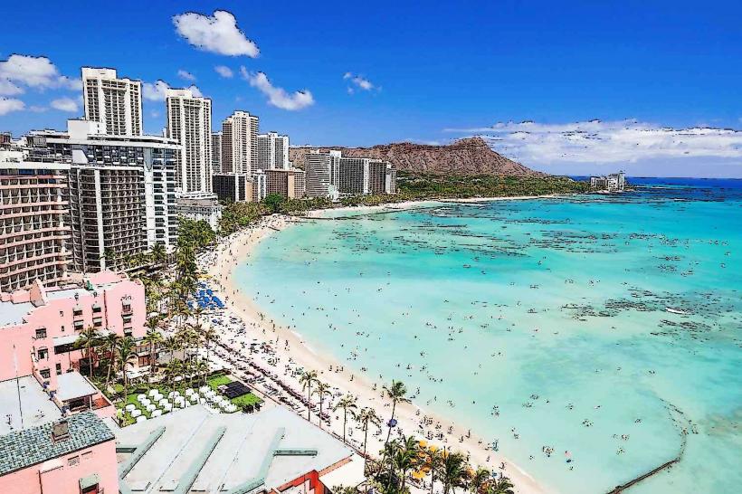
- Waikiki Beach (2.5km Southeast)
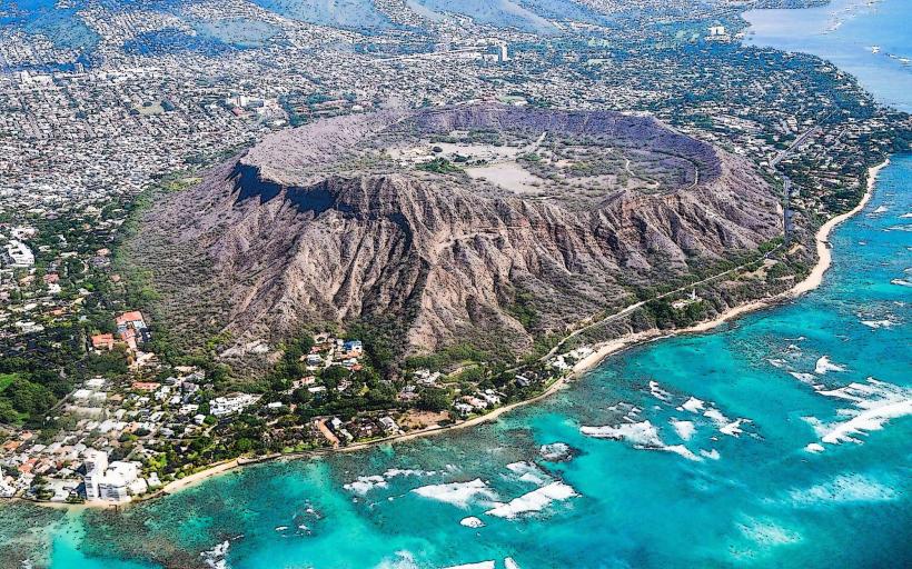
- Diamond Head State Monument (6.0km Southeast)