Information
Landmark: Masaya LagoonCity: Masaya
Country: Nicaragua
Continent: North America
Masaya Lagoon, Masaya, Nicaragua, North America
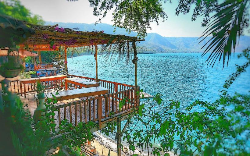
Masaya Lagoon is a large, oval-shaped crater lake situated within the Masaya Volcano National Park in Nicaragua.
It is a volcanic crater lake formed by the collapse of a volcano.
Visual Characteristics
The lagoon's water is typically a dark, opaque green to brown color due to its volcanic origin and mineral content. The surrounding rim is composed of volcanic rock and soil, with vegetation consisting of dry tropical forest species, including various cacti and scrub brush. The elevation of the lagoon's surface is approximately 630 meters (2,067 feet) above sea level.
Location & Access Logistics
Masaya Lagoon is located approximately 25 kilometers (15.5 miles) south of Managua, the capital city. Access is via Carretera Masaya (Masaya Highway). From Managua, take Carretera Masaya south towards Masaya. Turn off onto the road leading into Masaya Volcano National Park. The lagoon is accessible by vehicle directly from the park entrance road. Parking is available at designated areas near the lagoon's edge. Public transport options include local buses traveling between Managua and Masaya; disembark at the park entrance and walk or take a short taxi ride to the lagoon.
Historical & Ecological Origin
Masaya Lagoon occupies a caldera formed by the collapse of a volcano. The Masaya Volcano complex, of which the lagoon is a part, is one of the most active volcanoes in Nicaragua. The lagoon itself is a result of volcanic activity and subsequent infilling with rainwater and groundwater over geological time. Its ecological classification is a volcanic crater lake.
Key Highlights & Activities
Swimming is permitted in designated areas of the lagoon. Kayaking and paddleboarding are available for rent. Observation points along the rim offer views of the water and surrounding landscape. Birdwatching is possible, with species adapted to the volcanic environment present.
Infrastructure & Amenities
Restrooms are available at the park entrance and near some observation points. Limited shade is provided by natural vegetation. Cell phone signal (4G) is generally available in the park. Food vendors are typically present near the park entrance and at designated picnic areas.
Best Time to Visit
The best time of day for photography is generally in the late afternoon when the sun is lower, providing softer light on the water and landscape. The dry season, from December to April, offers the most favorable weather conditions with less rainfall. There are no specific tide requirements as it is a freshwater lake.
Facts & Legends
Local legends often associate the lagoon with pre-Columbian rituals and offerings to volcanic deities. It is said that the dark color of the water is due to the tears of a goddess mourning her lost love. A specific tip for visitors is to be aware of the potential for sulfurous odors emanating from the nearby active volcano, which can be more pronounced on windy days.
Nearby Landmarks
- Masaya Volcano (0.5km North)
- El Coyotepe Fortress (3km Southwest)
- Niquinohomo Waterfall (8km Southwest)
- Apoyo Lagoon (10km West)
- Granada City (20km Northwest)