Information
City: MasayaCountry: Nicaragua
Continent: North America
Masaya, Nicaragua, North America
Masaya is the administrative capital of its namesake department and is widely recognized as the "City of Flowers" and the "Cradle of Nicaraguan Folklore." Located 28 km southeast of Managua, it is the nation's third-largest city and serves as the primary artisan hub for the country.
2026 Strategic & Infrastructure Context
Lifelong Learning City: In 2026, Masaya continues its commitment as a UNESCO Learning City, focusing on the valorization of ancestral knowledge and the strengthening of technical and technological education to drive family socio-economic transformation.
Tourism Promotion: Under the 2026 National Tourism Strategy, Masaya is a primary destination for rural and community tourism. Efforts are focused on "tourism with identity," highlighting local gastronomy, religiosity, and handicrafts.
Carretera a Masaya Corridor: This arterial road connecting the city to Managua has seen significant real estate appreciation (7–11% annually into 2026) and infrastructure improvements, making it a preferred corridor for commercial and residential investment.
Environmental Health: Municipal plans for 2026 prioritize preventive health campaigns and waste management to protect the surrounding natural landscape, including the Masaya Lagoon and the National Park.
Demographics & Population
The 2026 population of the Masaya municipality is approximately 194,000, with about 141,000 residents in the urban core. The demographic is predominantly Mestizo, with a significant and culturally distinct indigenous population in the Monimbó district, which serves as a center for political and cultural resistance and craftsmanship.
Urban Layout & Key Districts
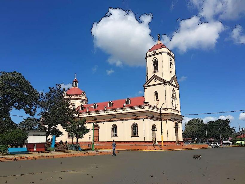
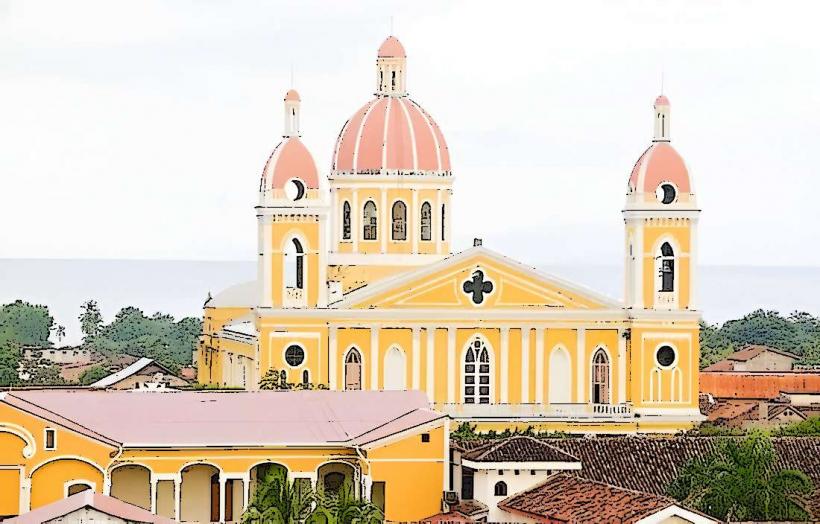
Central Park (Parque Central): The city's social heart, flanked by the Church of Our Lady of the Assumption, which is noted for its late-baroque facade.
Monimbó: An ancient indigenous neighborhood and the epicenter of the city's artisan production, particularly famous for its resistance during the 1979 revolution and 2018 protests.
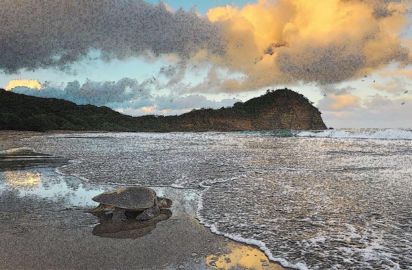
The Malecon (Boardwalk): Offers views overlooking the Masaya Lagoon and the smoking Santiago crater of the nearby volcano.
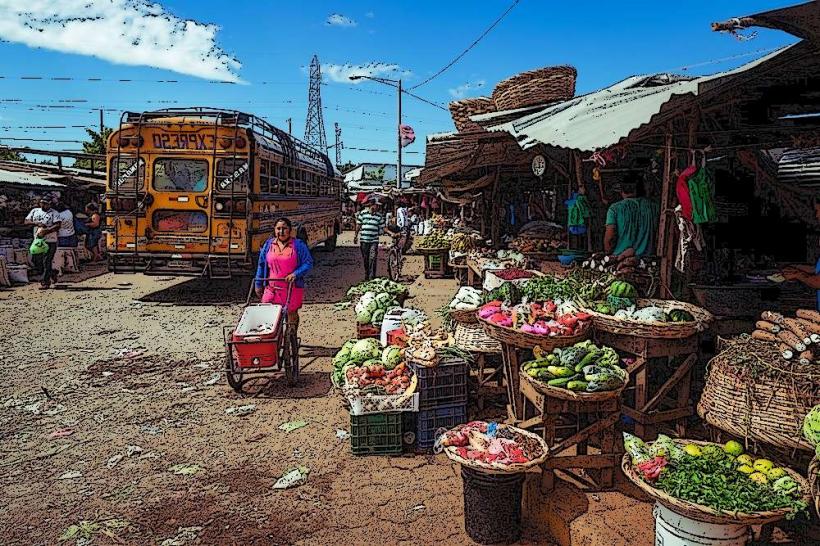
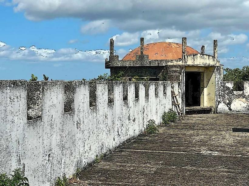
Old Craft Market (Mercado Viejo): Housed in a 19th-century neo-Gothic fortress-like building, it is the city's primary tourist market.
Top Landmarks
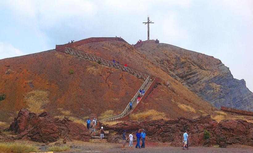
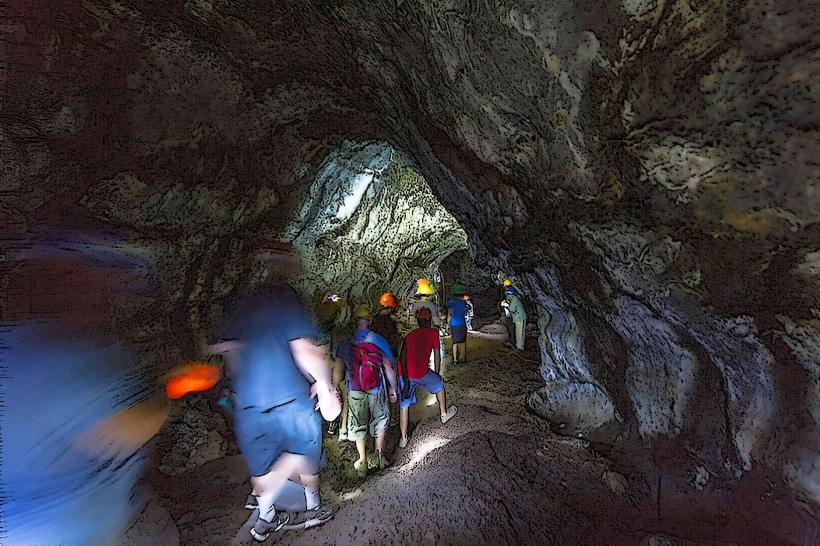
Masaya Volcano National Park: As of January 2026, the volcano remains active; satellite data from early January recorded diffuse ash plumes rising to 1.2 km. It remains one of the world's most accessible active volcanoes, offering "lava tours" where visitors can observe the incandescent glow of the Santiago crater at night.
Mercado de Artesanías: Widely considered the best place in Nicaragua to purchase hammocks, woodcarvings, leather goods, and traditional clothing.
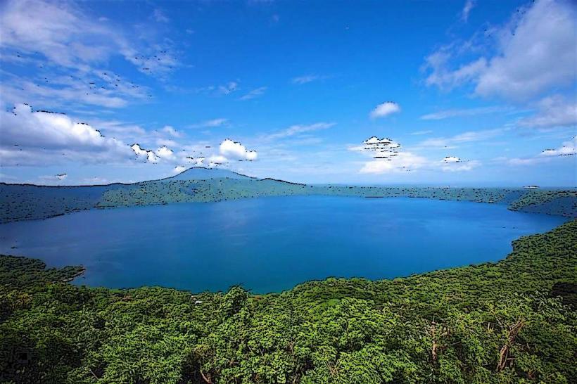
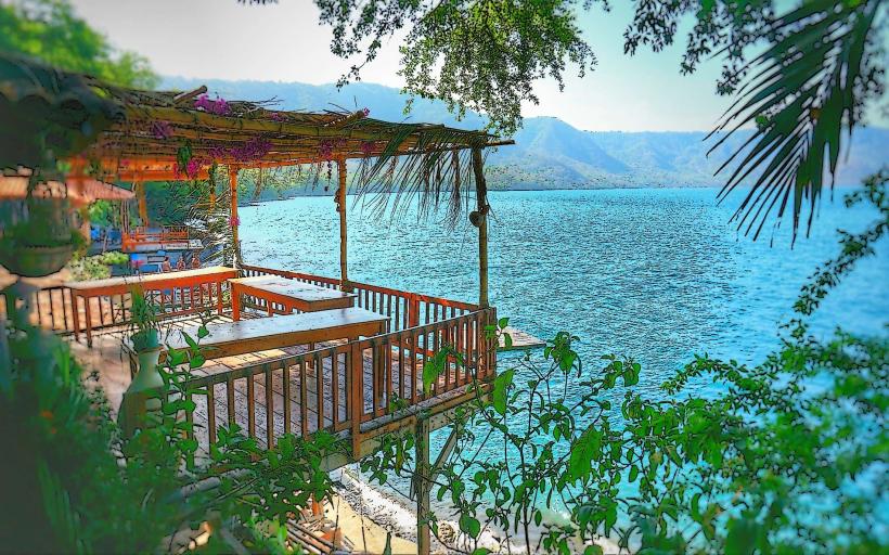
Laguna de Apoyo: A massive, deep-blue crater lake located on the edge of the department. It is a premier spot for swimming, kayaking, and sustainable eco-lodging.
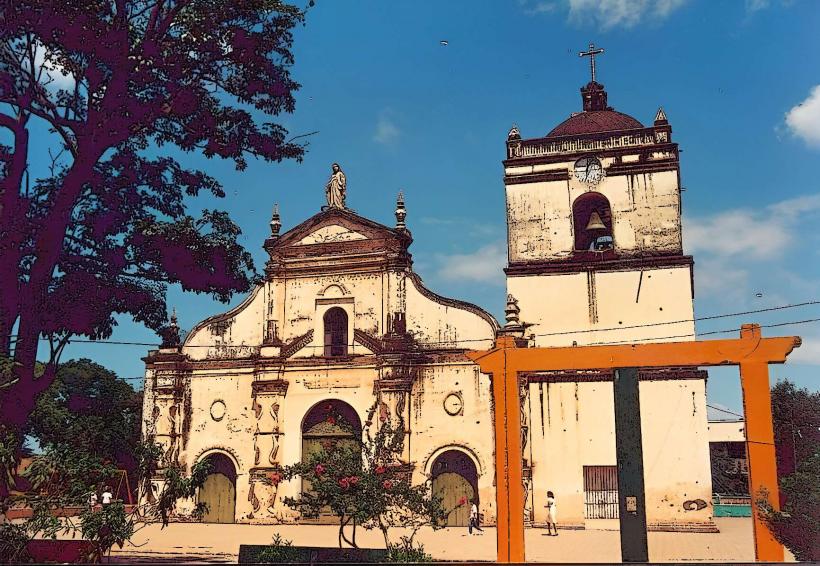
San Jerónimo Church: Dedicated to the city's patron saint; the festivities in late September and October are among the longest and most vibrant in Nicaragua.
Mirador de Catarina: A nearby viewpoint in the "White Villages" (Pueblos Blancos) that provides the most famous panoramic view of Laguna de Apoyo.
Transportation & Digital Infrastructure
Road: Masaya is a critical junction on the Pan-American Highway. Frequent "Expreso" buses connect it to Managua (45 minutes) and Granada (20 minutes).
Digital: Internet penetration in the region reached nearly 70% by early 2026. The city is a test site for new digital platforms aimed at connecting local artisans directly with international buyers.
Connectivity: Mobile download speeds average approximately 29 Mbps, with higher speeds available in the central commercial zones.
Facts & Legends
Legend says that the indigenous people of Monimbó used to throw young women into the volcano's crater to appease the "Goddess of Fire" and prevent eruptions. A geographic fact: Masaya is located within a massive 6 x 11 km basaltic caldera with walls up to 300 meters high. Historically, it was the site of the "Tactical Retreat" (El Repliegue) in 1979, a pivotal moment in the Sandinista Revolution.