Information
Landmark: Maya Flat CaveCity: San Ignacio
Country: Belize
Continent: North America
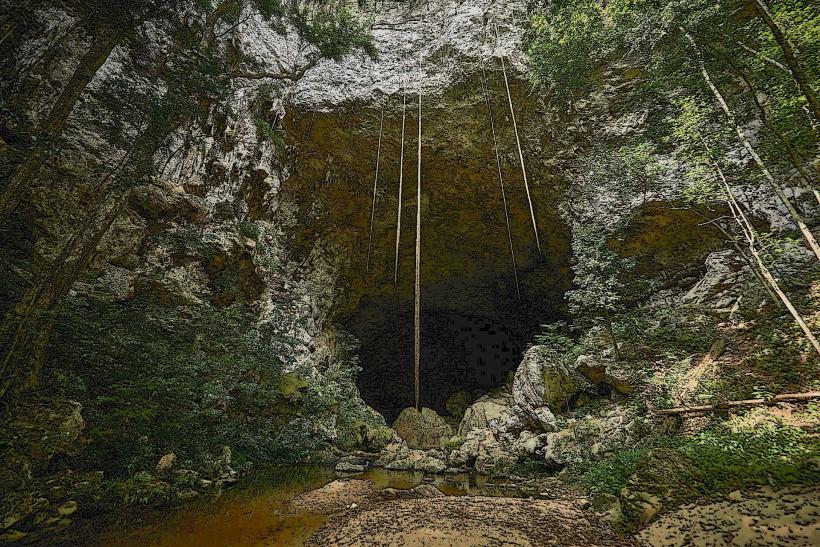
Maya Flat Cave, San Ignacio, Belize, North America
Maya Flat Cave is a subterranean archaeological site located near San Ignacio, Belize.
This cave system contains evidence of ancient Maya ceremonial practices.
Visual Characteristics
The cave entrance is a fissure in a limestone hillside, approximately 2 meters wide and 1 meter high. Interior passages are characterized by damp, rough-hewn limestone walls. Stalactites and stalagmites are present in some chambers, with formations varying in size and density. The floor is uneven, composed of compacted earth and rock debris.
Location & Access Logistics
Maya Flat Cave is situated approximately 15 kilometers west of San Ignacio. Access is via the George Price Highway (A1) for 12 kilometers, then turning north onto a gravel road (unmarked, locally known as the "Cave Road") for 3 kilometers. The gravel road is passable by standard vehicles in dry conditions; 4WD is recommended during the wet season. Parking is available at a small, informal clearing near the cave entrance. No public transport directly serves the site.
Historical & Ecological Origin
The cave system is a natural karst formation, sculpted over millennia by the dissolution of limestone bedrock by groundwater. Archaeological evidence indicates Maya use dating from the Late Classic period (c. 600-900 AD). The site served as a ceremonial center, with artifacts suggesting ritualistic activities, including pottery fragments and obsidian blades.
Key Highlights & Activities
Exploration of the main passage is possible. Visitors can observe natural cave formations. Archaeological features, including visible pottery shards and potential altars, can be identified. Guided tours are available from San Ignacio operators, providing context on the Maya usage of the cave.
Infrastructure & Amenities
No permanent infrastructure is present at Maya Flat Cave. Restrooms are not available. Natural shade is limited within the cave. Cell phone signal is generally absent within the cave system and unreliable on the access road.
Best Time to Visit
The best time of day for interior exploration is between 9:00 AM and 3:00 PM to maximize natural light penetration near the entrance. The dry season, from November to May, offers the most accessible conditions for the gravel access road. Humidity levels are consistently high year-round.
Facts & Legends
Local lore suggests that the cave was a portal to the underworld (Xibalba) for the ancient Maya. One specific artifact found within the cave was a complete ceramic effigy vessel depicting a jaguar, a significant animal in Maya cosmology.
Nearby Landmarks
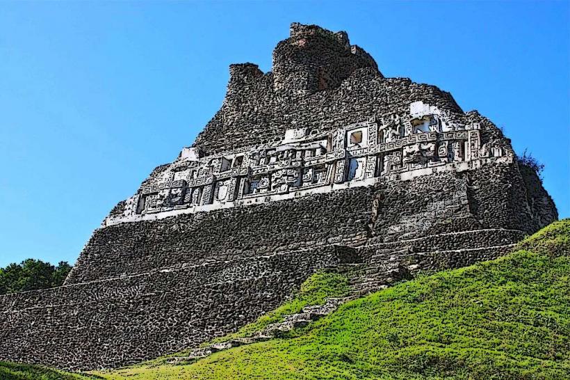
- Xunantunich Mayan Ruins (3.5km West)
- El Castillo (Pyramid at Xunantunich) (3.5km West)
- San Jose Succotz Village (4.0km West)
- Mopan River (2.0km South)