Information
Landmark: Moselle Wine RouteCity: Luxembourg City
Country: Luxembourg
Continent: Europe
Moselle Wine Route, Luxembourg City, Luxembourg, Europe
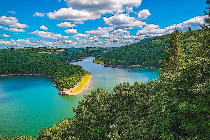
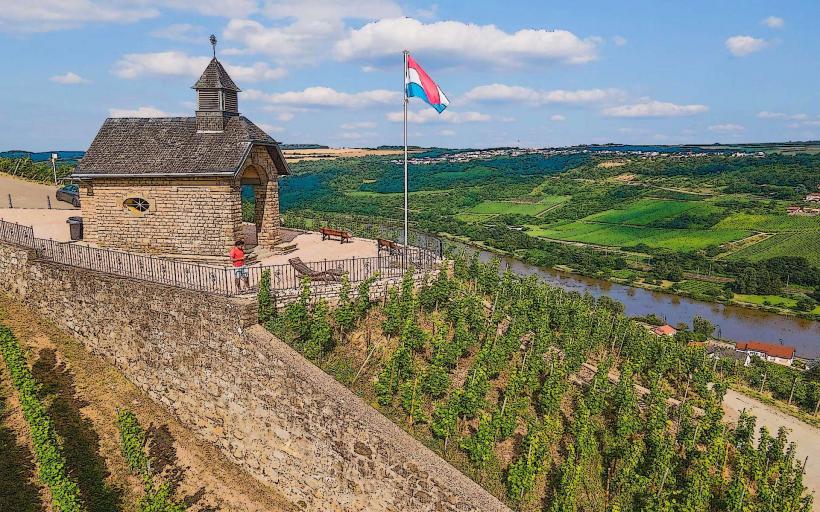
The Moselle Wine Route (Route du Vin) is a 42-kilometer designated driving and cycling corridor following the Moselle River from Wasserbillig to Schengen. It delineates Luxembourg's primary viticultural region, characterized by steep riverside vineyards and a series of winemaking villages.
Visual Characteristics
The route is defined by a limestone-rich valley featuring terraced vineyards with inclinations up to 30 degrees. The landscape consists of a mosaic of vine rows, predominantly Riesling and Pinot Gris, interspersed with low stone walls and small masonry vineyard huts. The river itself serves as a reflective gray-blue border, flanked by a flat floodplain and limestone cliffs.
Location & Access Logistics
The route begins approximately 30 kilometers east of Luxembourg City at Wasserbillig. It is accessed via the A1 motorway or the N10 road, which runs the entire length of the valley. Public transport access is provided by the CFL train line to Wasserbillig or bus lines 411, 412, and 413, which depart from the Luxembourg City central station and serve the riverside villages. A dedicated paved bicycle path (PC3) runs parallel to the vehicle road for the full duration of the route.
Historical & Ecological Origin
Viticulture in this region dates back to the Roman Empire, utilizing the Muschelkalk (shell limestone) soil and the river’s microclimate. The modern "Route du Vin" was formalized in the 20th century to promote the Appellation d'Origine Protégée (AOP) Moselle Luxembourgeoise. The ecology is classified as a fluvial valley ecosystem with specific biodiversity adapted to the warm, sheltered slopes.
Key Highlights & Activities
Primary activities include wine tasting at independent estates and large cooperatives such as Vinsmoselle. The route provides access to the European Museum in Schengen and the Wine Museum in Ehnen. River cruises depart from Grevenmacher and Remich, while the "Wine Lights Enjoy" event in winter features illuminated vineyard walks.
Infrastructure & Amenities
The route is supported by high-density infrastructure including 5G cellular signal, public restrooms in major villages (Remich, Grevenmacher), and numerous electric vehicle charging stations. Multiple campsites and hotels are positioned along the N10. Food vendors range from Michelin-starred restaurants to local "Winstub" taverns.
Best Time to Visit
The optimal period for visitation is during the grape harvest in September and October for vineyard activity and local festivals. Late spring (May and June) offers the best conditions for cycling and hiking. For photography, the late afternoon sun illuminates the western banks, highlighting the yellow hues of the vines in autumn.
Facts & Legends
A regional curiosity is the "Wine Fountain" in Schwebsange, which is connected to wine barrels during the annual wine festival to provide free distribution. Historically, the river served as a volatile border; during winter freezes in the 19th century, residents frequently crossed the ice to avoid customs posts.
Nearby Landmarks
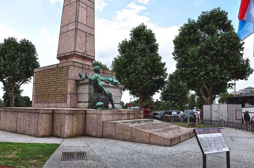
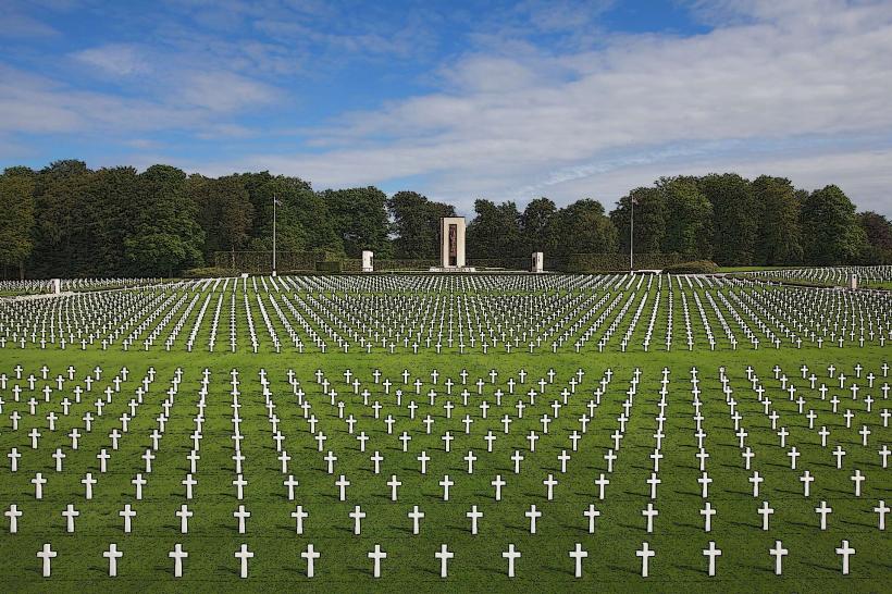
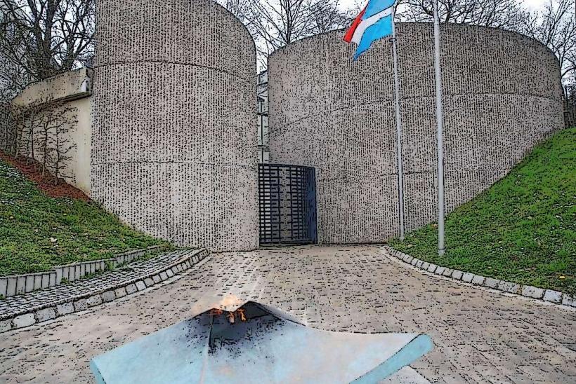
Schengen European Monument – 0.1km East (at southern terminus)
Ehnen Wine Museum – 0.0km (central point of route)
Grevenmacher Butterfly Garden – 0.2km West of N10
St. Nicholas Gate (Remich) – 0.1km West of N10
Wasserbillig Aquarium – 0.5km North (at northern terminus)