Information
Landmark: Mount Tâmpa (Tampa Hill)City: Brasov
Country: Romania
Continent: Europe
Mount Tâmpa (Tampa Hill), Brasov, Romania, Europe
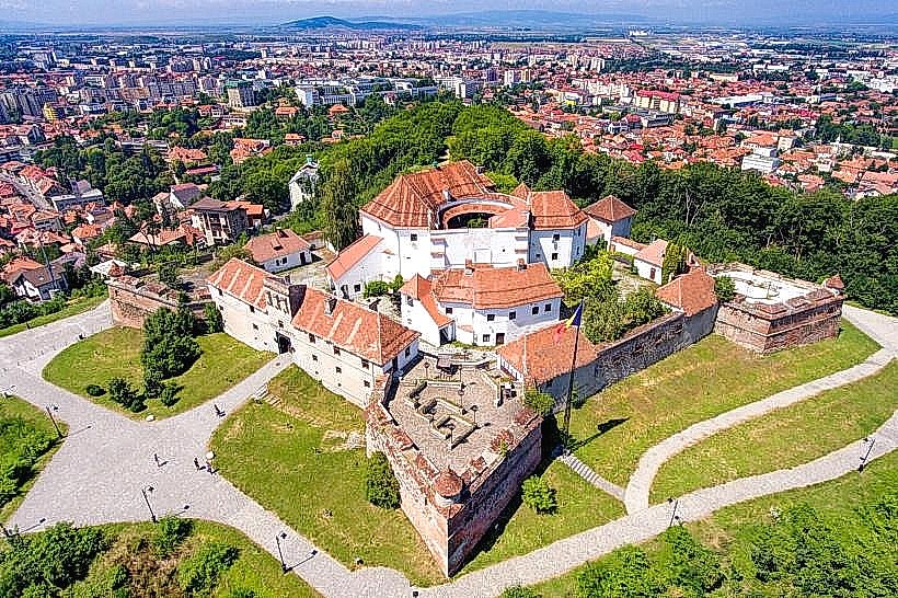
Mount Tâmpa is a small mountain massif belonging to the Postăvaru Massif of the Southern Carpathians, located in the center of Brașov, Romania. It stands at an elevation of 960 meters and is almost entirely surrounded by the city's urban sprawl.
Visual Characteristics
The mountain is composed mainly of limestone and is characterized by steep slopes and a predominantly deciduous forest cover, including beech and oak, alongside rare species like the Transylvanian hepatic. A large, Hollywood-style "BRAȘOV" sign is mounted near the summit, constructed from white metal and illuminated at night. The peak provides a 360-degree view of the Bârsa Land and the historic center's red-tiled roofs.
Location & Access Logistics
The base is located 0.5 kilometers southeast of Council Square. Access is provided via the Tâmpa Cable Car (Telecabina Tâmpa) located at Aleea Tiberiu Brediceanu, which reaches the summit in approximately 3 minutes. Alternatively, three primary hiking trails-the Serpentine Trail (Drumul Serpentinelor), the Knight's Road (Drumul Cavalerilor), and the Gabony Steps (Scările lui Gabony)-provide pedestrian access with ascent times ranging from 45 to 90 minutes.
Historical & Ecological Origin
The mountain is a protected natural area classified as a Category IV IUCN nature reserve. Historically, it served as the site of the Brassovia Citadel, a 13th-century fortification that predates the city below. In 1447, John Hunyadi ordered the citadel's demolition to prevent it from being captured by Ottoman forces, with the stones later used to reinforce the city's lowland walls.
Key Highlights & Activities
Hiking is the primary activity, with well-marked trails of varying difficulty. A viewing platform located directly behind the "BRAȘOV" sign offers the most common vantage point for city photography. Guided ecological tours occasionally operate to observe local wildlife, including brown bears, lynx, and rare butterfly species. Paragliding from the summit is a frequent activity during periods of stable thermal lift.
Infrastructure & Amenities
The summit features a restaurant and a terrace located near the cable car station, though operating hours vary by season. Restrooms are available at the base and top cable car stations. Cell phone reception is strong (5G/4G) across the entire mountain. There is no natural shade on the viewing platforms, but the trails remain mostly shaded by the forest canopy.
Best Time to Visit
The best lighting for photographing the Old Town from the summit is during the morning hours when the sun is behind the observer. The most stable weather conditions occur between June and October. During winter, the cable car remains the only reliable access as trails become hazardous due to ice and frequent bear activity.
Facts & Legends
In 1950, when Brașov was renamed "Orașul Stalin" (Stalin City), the forest on the northern slope was thinned and replanted with fir trees to spell out the name "STALIN," a formation that remained partially visible for several decades. Another legend suggests the existence of a massive underground lake inside the limestone massif, though geological surveys have never verified this claim.
Nearby Landmarks
The Weavers' Bastion: 0.4km West (at the base)
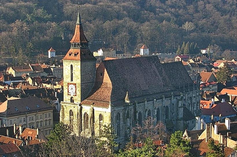
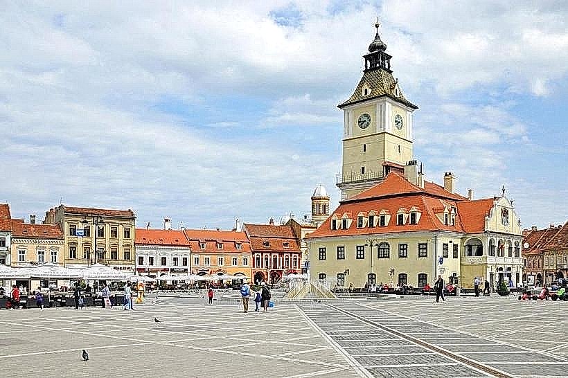
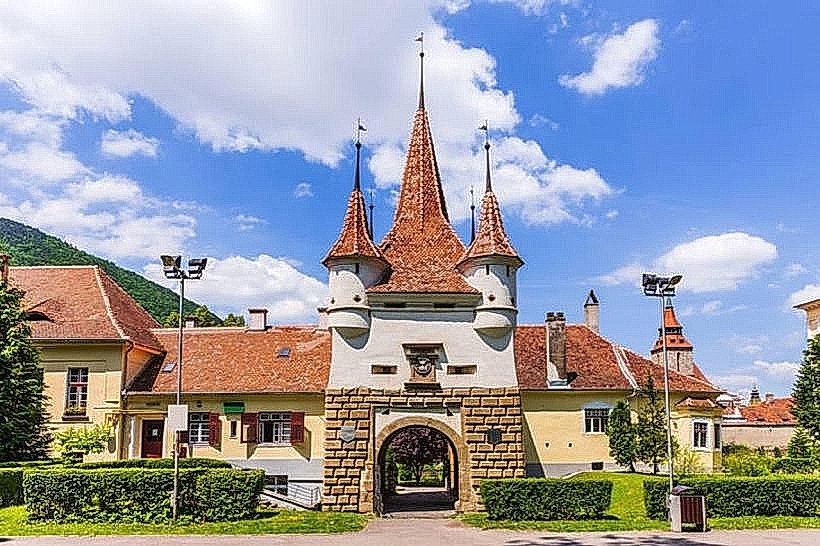
Council Square: 0.6km Northwest
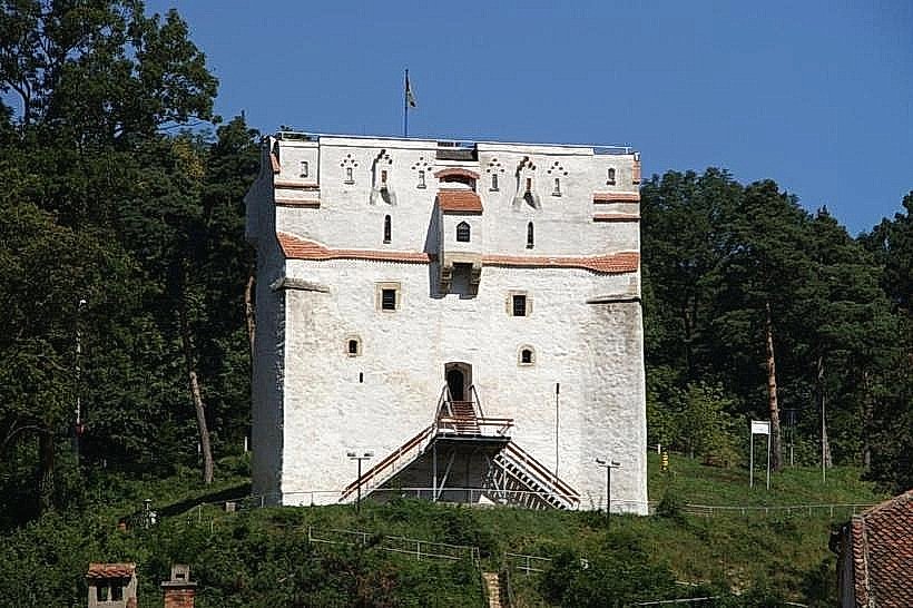
The Black Tower: 0.9km Northwest