Information
Landmark: Opole CanalCity: Opole
Country: Poland
Continent: Europe
Opole Canal, Opole, Poland, Europe
The Opole Canal, primarily known as the Młynówka (Mill Canal), is a regulated branch of the Oder River that separates the Old Town from Ostrówek Island. It is a key hydraulic feature of the city's historic center and is colloquially referred to as "Opole Venice."
Visual Characteristics
The canal is characterized by vertical masonry embankments constructed from granite and sandstone blocks. It is flanked by a row of 19th and early 20th-century tenement houses whose foundations emerge directly from the water. The water is generally calm with a dark reflective surface, and the area is crossed by several decorative iron and stone pedestrian bridges.
Location & Access Logistics
The canal runs parallel to the main Oder River, stretching approximately 1.3km between the Zamkowy Bridge and the Cathedral. Access is provided via the Nadodrzański boulevards and the "Młynówka" walking path. Public transport via MZK Opole buses (lines 3, 7, 15) serves the nearby Piastowska and Cathedral stops. Multiple staircases connect the street level to the water-level walking paths.
Historical & Ecological Origin
The Młynówka was the original main branch of the Oder River until a major flood in 1600 diverted the primary current westward. Its name derives from the water mills that lined its banks during the Middle Ages. The current architectural appearance is the result of systematic regulation and the construction of flood defenses following the catastrophic flood of 1997.
Key Highlights & Activities
The "Opole Venice" section offers a dedicated 1.3km illuminated promenade for pedestrian and bicycle traffic. Kayaking and paddleboarding are permitted during the summer season, with entry points located near the Piastowski Bridge. Nighttime illumination of the facades on the eastern bank is a primary focal point for sightseeing.
Infrastructure & Amenities
Public benches and waste bins are situated along the entire length of the canal-side path. 5G cellular signal is consistently available. While the path itself lacks public restrooms, facilities are located in the nearby Town Hall (0.2km) and the Solaris Center (0.4km). No food vendors operate directly on the canal path, but numerous restaurants overlook the water from the street level.
Best Time to Visit
The optimal time for photography is at sunset and during the "Blue Hour," when the artificial illumination of the tenement houses is reflected in the water. June through August offers the most greenery along the embankments. High water levels during the spring thaw may occasionally restrict access to the lower walking paths.
Facts & Legends
A historical oddity is that the "Groszowy Bridge" (Penny Bridge) over the canal was originally a toll bridge where crossing cost one "grosz." Local legend claims that the canal was once inhabited by a "Topielec" (water spirit) that protected the mills, though modern historical accounts focus more on the 19th-century industrial use of the waterway for transport.
Nearby Landmarks
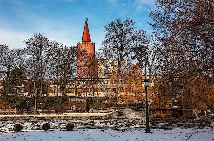
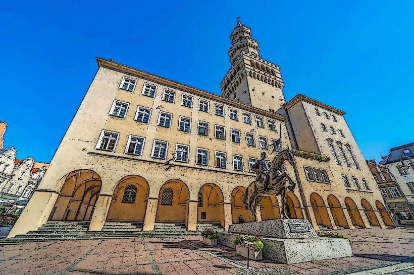
Piast Tower: 0.2km West
Opole Town Hall: 0.2km East
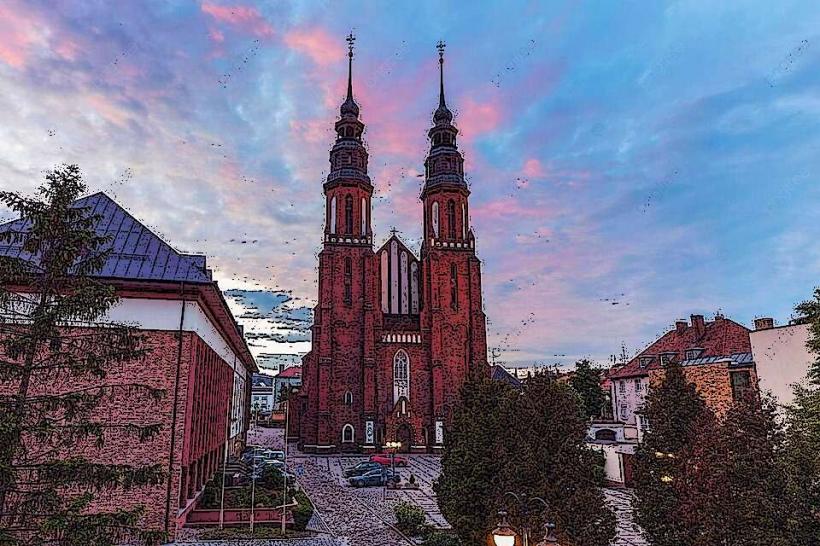
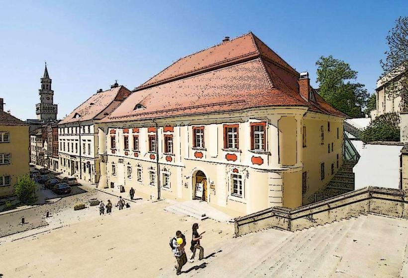
Holy Cross Cathedral: 0.1km East
Franciscan Church: 0.1km East
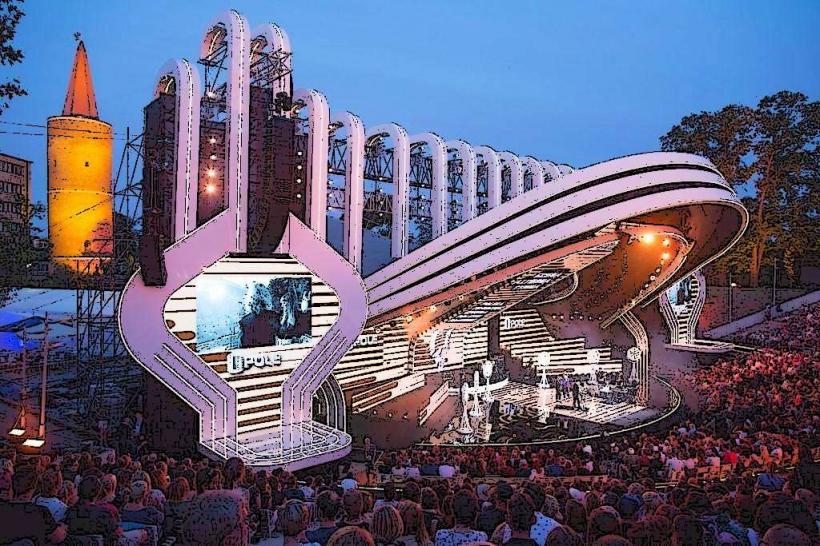
Millennium Amphitheater: 0.3km West