Information
Landmark: Pagua RiverCity: Roseau
Country: Dominica
Continent: North America
Pagua River, Roseau, Dominica, North America
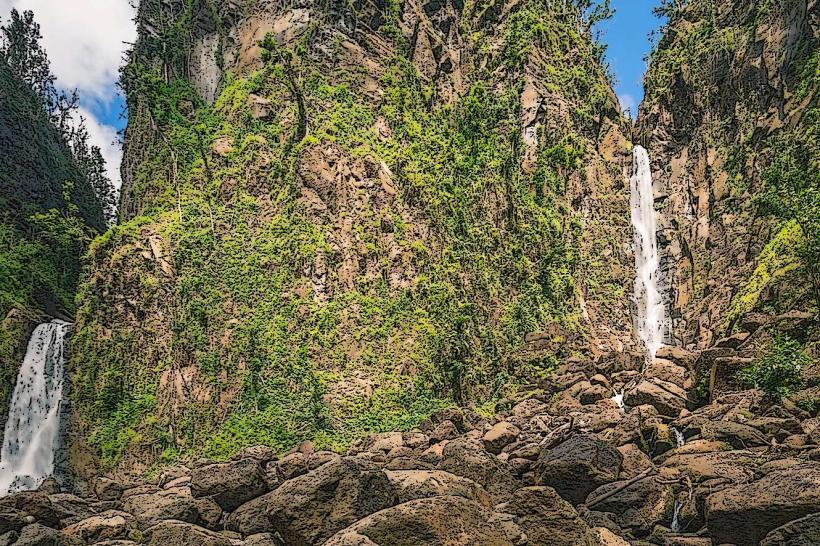
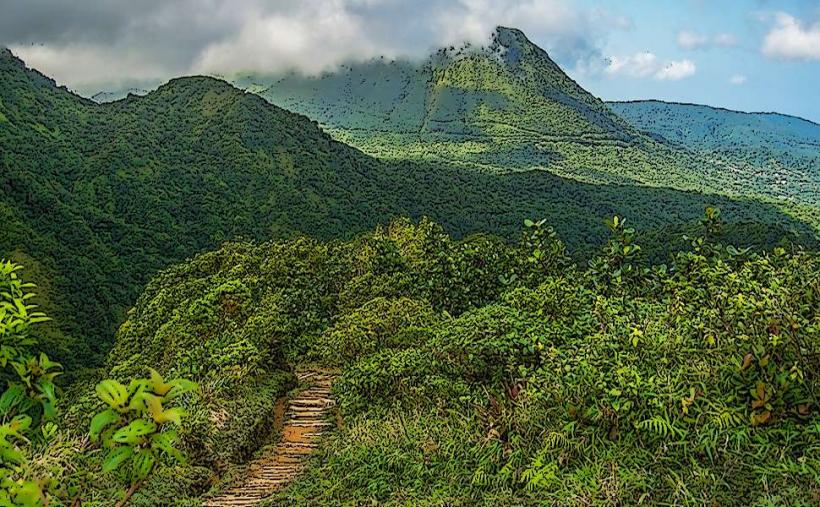
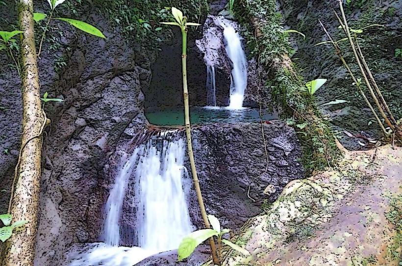
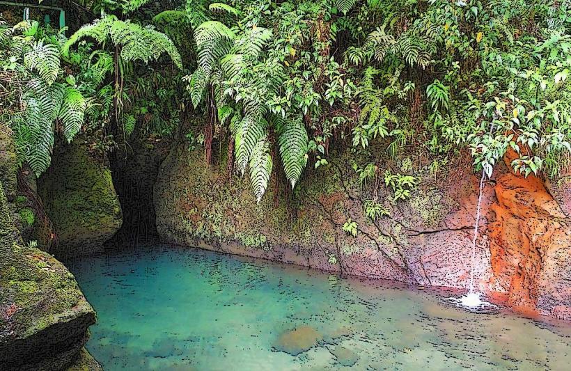
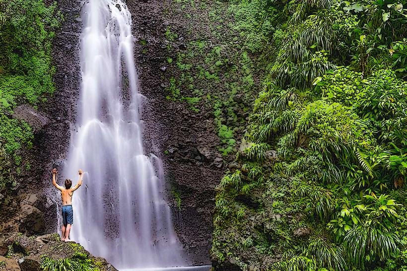
The Pagua River is a river located on the island of Dominica, flowing into the Caribbean Sea on the island's northeast coast.
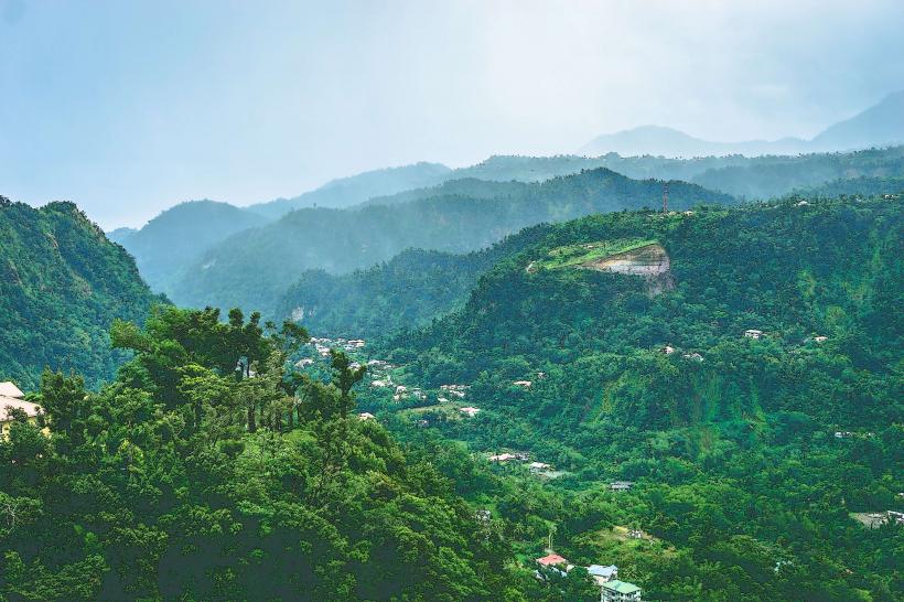
It is a significant waterway within the island's interior, characterized by its natural flow and surrounding rainforest.
Visual Characteristics
The river's water color varies from clear to brown depending on recent rainfall and sediment load. The riverbed consists of a mix of smooth stones and gravel. The surrounding vegetation is dense tropical rainforest, with a canopy of broadleaf trees and ferns. The riverbanks are often steep and covered in mosses and vines.
Location & Access Logistics
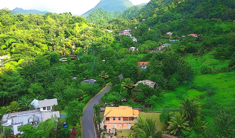
The Pagua River is situated approximately 15 kilometers northeast of Roseau. Access is primarily via the main East Coast Road (Highway 3). Turn off the East Coast Road onto the unpaved track leading towards the Pagua Bay. This track is approximately 2 kilometers long and can be rough, requiring a 4WD vehicle in wet conditions. Parking is available at the river mouth, with limited space. Public transport to the East Coast Road is available via local bus routes from Roseau, but the final 2km to the river requires private transport or a significant walk.
Historical & Ecological Origin
The Pagua River is a natural watercourse formed by the island's topography and rainfall patterns. Its origin lies in the central mountainous region of Dominica, carving its path through volcanic rock and soil. It is classified as a tropical rainforest river system, supporting a diverse range of flora and fauna adapted to this environment.
Key Highlights & Activities
Kayaking and tubing are possible on calmer sections of the river during dry periods. Birdwatching is a primary activity due to the diverse avian population in the surrounding rainforest. Hiking along the riverbanks is feasible on established, though often overgrown, trails. Swimming is possible in designated deeper pools, but caution is advised due to currents.
Infrastructure & Amenities
There are no formal infrastructure or amenities directly at the Pagua River. Restrooms are not available. Shade is provided by the dense forest canopy. Cell phone signal (4G/5G) is generally unreliable in this remote area. No food vendors are present at the river; visitors should bring their own supplies.
Best Time to Visit
The best time of day for photography is generally mid-morning or late afternoon when sunlight penetrates the canopy. The dry season, from February to May, offers the most stable river conditions for activities. During the wet season (June to January), river levels can rise rapidly, making access and activities hazardous.
Facts & Legends
Local folklore suggests that the Pagua River was once a sacred site for the indigenous Kalinago people, who believed its waters possessed healing properties. A specific tip for visitors is to be aware of the rapid changes in weather; rain in the interior mountains can cause the river to swell significantly within a short period.
Nearby Landmarks
- Pagua Bay (0.2km South)
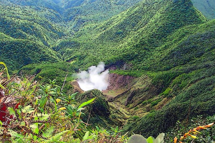
- Morne Trois Pitons National Park (5km West)
- Emerald Pool (7km Southwest)
- Trafalgar-falls_roseau" class="underline">Trafalgar Falls (9km Southwest)
- Wotton Waven Hot Springs (10km Southwest)