Information
Landmark: Parque Natural de TenoCity: Tenerife
Country: Canary Islands
Continent: Europe
Parque Natural de Teno, Tenerife, Canary Islands, Europe
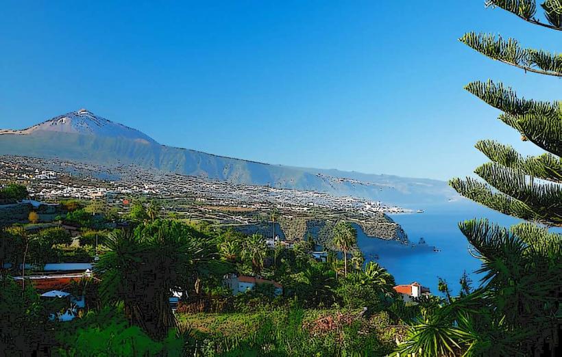
Parque Natural de Teno is a protected natural park situated on the western tip of Tenerife, Canary Islands. This area encompasses a diverse landscape of volcanic formations, deep ravines, and coastal cliffs.
Visual Characteristics
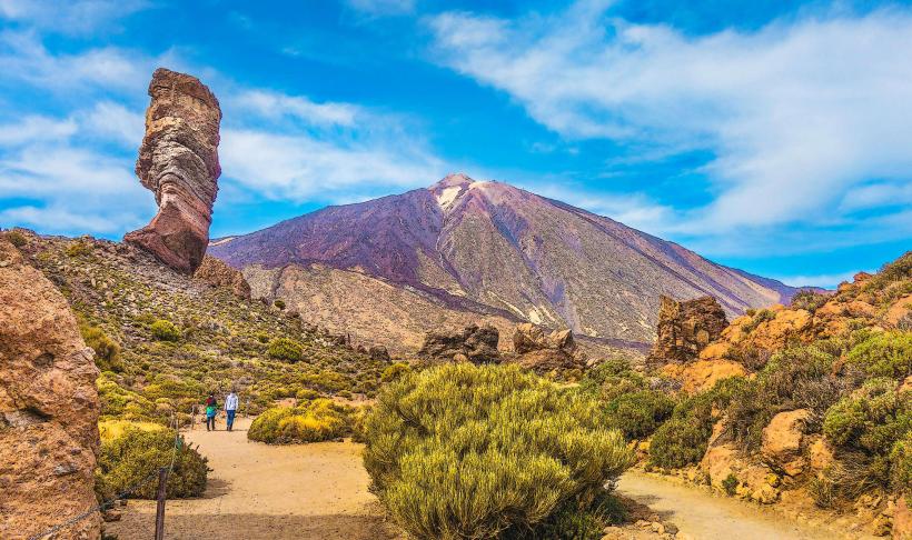
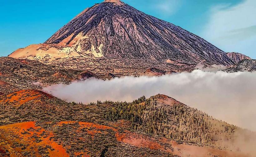
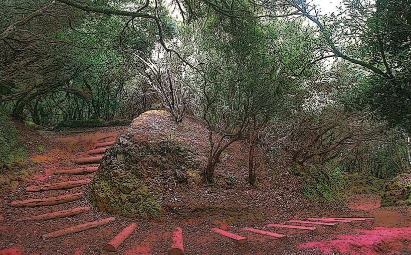
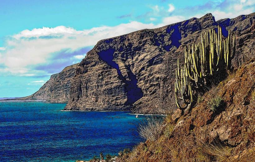
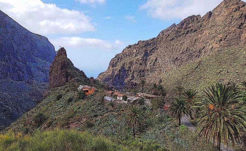
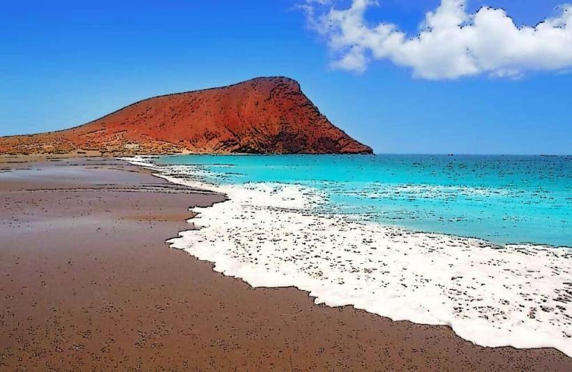
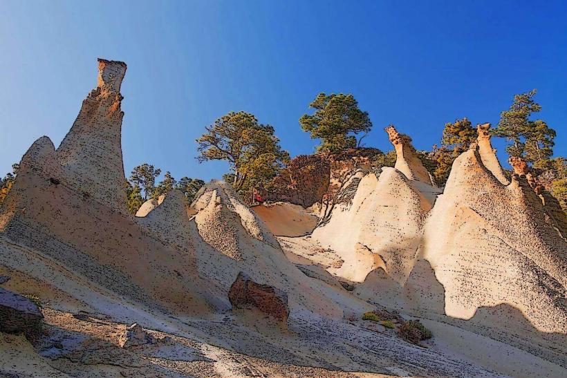
The park is characterized by ancient basaltic rock formations, steep cliffs, and deep ravines known as barrancos. Vegetation varies from dense laurel forests (laurisilva) in higher, moister altitudes to xerophytic scrub in drier, lower areas. The coastline features rocky shores and small Black Sand Beaches, with the dominant colors being the dark grey of volcanic rock, various shades of green from the flora, and the blue of the Atlantic Ocean.
Location & Access Logistics
The park is located on the westernmost part of Tenerife. Main access is via the TF-436 road, connecting from Santiago del Teide in the south and Buenavista del Norte in the north. It is approximately 30km from Los Cristianos and 60km from Santa Cruz de Tenerife. Limited parking is available at specific trailheads and villages like Masca. Access to Punta de Teno by private vehicle is restricted during peak hours (typically 10:00 to 19:00); a public bus service (Titsa Line 369) operates from Buenavista del Norte. Other Titsa bus lines, such as Line 355, serve villages like Masca from Santiago del Teide.
Historical & Ecological Origin
Parque Natural de Teno is classified as a Natural Park, protecting one of Tenerife's oldest geological formations. Its landscape was shaped by ancient volcanic activity, resulting in basaltic lava flows and subsequent erosion that carved the distinctive ravines and cliffs. The park is recognized for its significant biodiversity, hosting numerous endemic plant species and a variety of fauna, including reptiles and birds adapted to its unique ecosystems.
Key Highlights & Activities
Hiking is a primary activity, with trails ranging from the popular descent into Masca Gorge to coastal paths leading to Punta de Teno Lighthouse and routes through the laurel forests of Monte del Agua. Scenic viewpoints (miradores) offer panoramic photographic opportunities of the cliffs and ocean. Birdwatching is possible, focusing on endemic species. Visitors can also explore small coves and beaches along the rugged coastline.
Infrastructure & Amenities
Restrooms are available in the villages within or bordering the park, such as Masca and Buenavista del Norte, and at some visitor information points. Shade is limited in open, exposed areas but can be found within the forested sections. Cell phone signal (4G/5G) is generally available in populated areas and higher elevations but can be intermittent or absent in deep ravines and remote coastal zones. Restaurants and small shops are present in Masca village and Buenavista del Norte; extensive facilities are not available within the wilder park areas.
Best Time to Visit
The park experiences a mild climate year-round. The best months for hiking and general exploration are typically April to June and September to November, avoiding the hottest summer temperatures and potential winter rainfall. For photography, early morning or late afternoon provides softer light, enhancing the contours of the cliffs and the ocean's surface. Tidal conditions do not significantly impact general park access, but specific coastal exploration might be affected.
Facts & Legends
The village of Masca, nestled within the park, was historically one of the most isolated settlements on Tenerife, accessible primarily by arduous donkey trails until the construction of a paved road in the 1960s. A practical tip for visitors is to utilize the public bus service (Titsa Line 369) from Buenavista del Norte to access Punta de Teno during restricted hours for private vehicles, ensuring compliance with park regulations and reducing traffic congestion.
Nearby Landmarks
- Masca Village: 0km (within the park)
- Punta de Teno Lighthouse: 5km West
- Buenavista del Norte: 8km North-East
- Santiago del Teide: 10km South-East
- Los Gigantes Cliffs: 15km South-East