Information
Landmark: Parque Rural de AnagaCity: Tenerife
Country: Canary Islands
Continent: Europe
Parque Rural de Anaga, Tenerife, Canary Islands, Europe
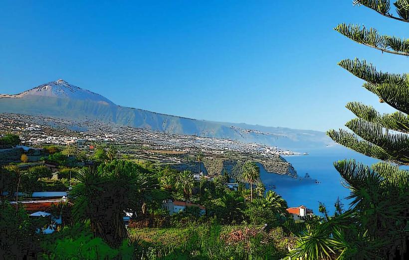
Parque Rural de Anaga is a protected natural area encompassing a mountain range in the northeastern part of Tenerife, Canary Islands. It is characterized by ancient laurel forests and deep ravines extending to the coast.
Visual Characteristics
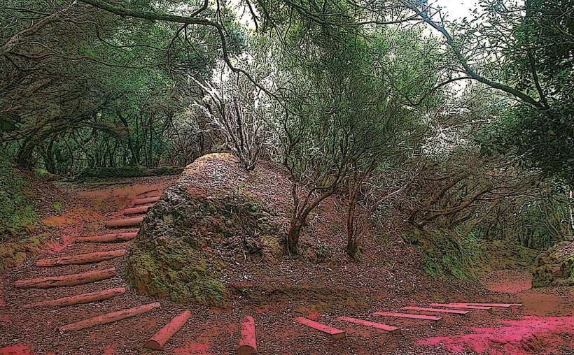
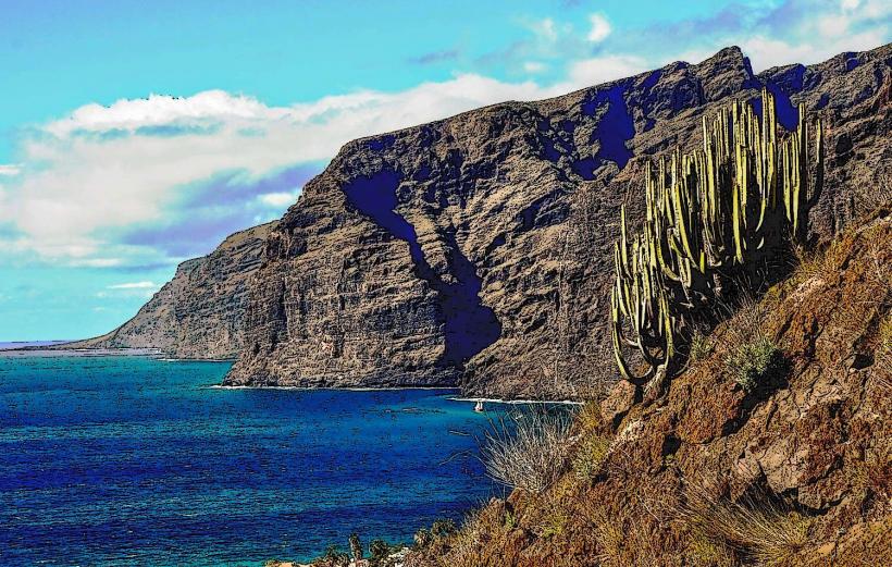
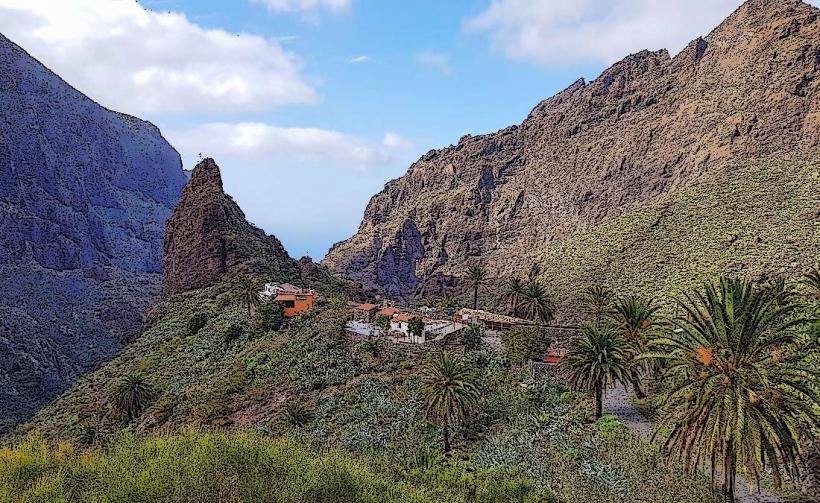
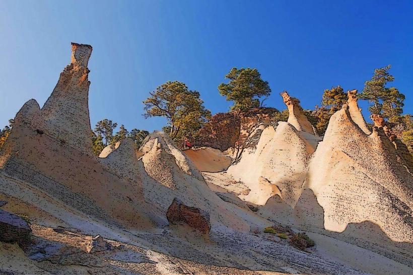
The park features dense laurisilva forests, where trees are often covered in moss and epiphytes, creating a lush, green environment. Deep, narrow ravines cut through the landscape, leading to rugged coastal cliffs and dark volcanic sand beaches. The terrain is mountainous with jagged volcanic peaks, frequently shrouded in mist, contributing to its humid, subtropical appearance.
Location & Access Logistics
Parque Rural de Anaga is located in the northeastern sector of Tenerife. It is primarily accessed via the TF-12 road, which connects from La Laguna or Santa Cruz de Tenerife. The park's main visitor center, Cruz del Carmen, is approximately 15 kilometers from Santa Cruz de Tenerife city center. Parking is available at designated viewpoints and trailheads, including a larger lot at Cruz del Carmen. Public transport is limited but available; Titsa bus lines, such as the 946 and 947, connect parts of the park to Santa Cruz.
Historical & Ecological Origin
Geologically, Anaga is one of the oldest formations on Tenerife, an ancient volcanic massif formed by successive eruptions and erosion over millions of years. Ecologically, it was designated a UNESCO Biosphere Reserve in 2015. The park preserves one of the largest and best-conserved laurisilva forests, a relict subtropical forest type that covered much of Southern Europe and North Africa during the Tertiary period.
Key Highlights & Activities
Hiking is a primary activity, with numerous marked trails such as the "Sendero de los Sentidos" starting at Cruz del Carmen, or longer routes to traditional hamlets like Chinamada or Taganana. Birdwatching opportunities exist for endemic species. Photography of the unique laurisilva forest and dramatic coastal landscapes is popular. Specific beaches like Playa de Benijo and Playa de Almáciga offer coastal access, though sea conditions can be rough.
Infrastructure & Amenities
Restrooms are available at the Cruz del Carmen Visitor Center. The dense forest canopy provides natural shade along many trails. Cell phone signal (4G/5G) is generally present along main roads and in populated hamlets but can be intermittent or absent in deep ravines and remote areas. Small restaurants and bars offering local cuisine are found in hamlets such as Taganana, Chamorga, and Roque de las Bodegas.
Best Time to Visit
The best months to visit are typically spring (April-June) and autumn (September-November) for mild temperatures and generally stable weather. Mornings often provide clearer conditions for photography, especially for panoramic coastal views, before the characteristic mist rolls in. The laurisilva forest is particularly atmospheric when shrouded in mist, which can occur at any time of year. No specific tide requirements affect forest exploration, but coastal access and swimming conditions are dependent on sea state.
Facts & Legends
The park is home to several isolated "caseríos" (hamlets) where residents maintain traditional lifestyles, some living in ancient cave houses. A practical tip for visitors is to arrive early at popular trailheads, particularly Cruz del Carmen, to secure parking, especially during weekends and peak seasons.
Nearby Landmarks
- Mirador de Jardina: 3.5km South-West
- Pico del Inglés Viewpoint: 2km East
- Las Carboneras (hamlet): 2.5km North-East
- Sendero de los Sentidos (trailhead): 0.1km North