Information
Landmark: Port HillsCity: Christchurch
Country: New Zealand
Continent: Australia
Port Hills, Christchurch, New Zealand, Australia
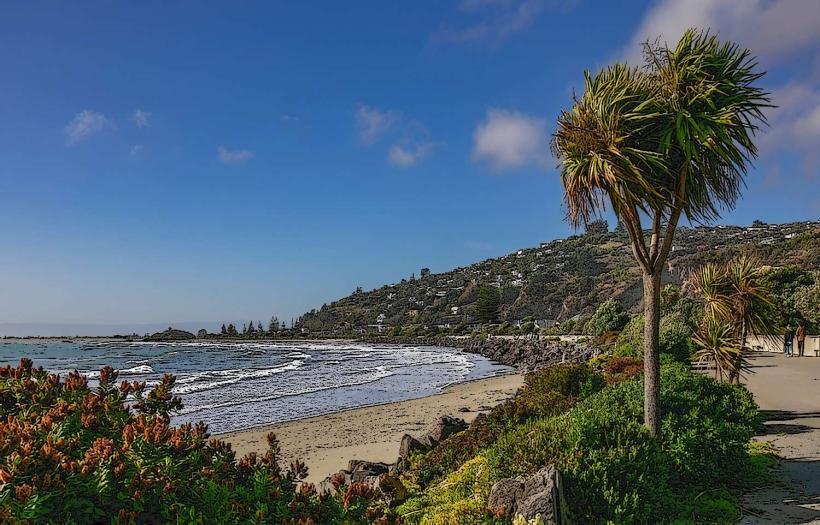
The Port Hills are a range of low hills located between Christchurch and Lyttelton Harbour on New Zealand's South Island.
They represent the eroded remnants of the outer rim of the Lyttelton Volcano.
Visual Characteristics
The hills are characterized by steep, grass-covered slopes with exposed volcanic rock formations in places. Vegetation is primarily tussock grassland and scattered native shrubs. The highest point is Mount Herbert at 917 meters. The slopes descend sharply towards the Canterbury Plains to the north and Lyttelton Harbour to the south.
Location & Access Logistics
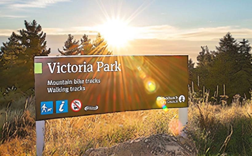
The Port Hills are situated approximately 10 kilometers southeast of Christchurch's central business district. Access is primarily via Summit Road, a sealed road that traverses the ridgeline. Several smaller access roads, such as Evans Pass Road and Dyers Pass Road, connect to Summit Road from the plains and the harbour side. Parking is available at designated viewpoints and trailheads along Summit Road. Public transport does not directly service the ridgeline; bus routes terminate in nearby suburbs like Governors Bay or Lyttelton, requiring onward travel by private vehicle or taxi.
Historical & Ecological Origin
The Port Hills are the eroded outer cone of the Lyttelton Volcano, which last erupted approximately 12 million years ago. The hills are composed of basaltic lava flows and ash deposits. Historically, the area was utilized by Māori for hunting and observation before European settlement. The current landscape is a result of volcanic activity followed by millions of years of erosion.
Key Highlights & Activities
Hiking is a primary activity, with numerous marked trails including the Port Hills Traverse. Cycling is permitted on Summit Road and designated tracks. Photography opportunities exist at various viewpoints, particularly during sunrise and sunset. Birdwatching is possible, with native species present in the tussock grasslands.
Infrastructure & Amenities
Restrooms are available at specific points along Summit Road, such as the Sign of the Kiwi. Shade is limited, primarily found in small pockets of native bush. Cell phone signal (4G/5G) is generally available along Summit Road, though it can be intermittent in some gullies. Food vendors are not present on the hills; provisions should be obtained in Christchurch or Lyttelton.
Best Time to Visit
For photography, early morning (sunrise) and late afternoon (sunset) offer optimal lighting conditions. The best months for weather are typically from September to April, offering milder temperatures and less rainfall. Wind conditions can be significant year-round; check forecasts before visiting.
Facts & Legends
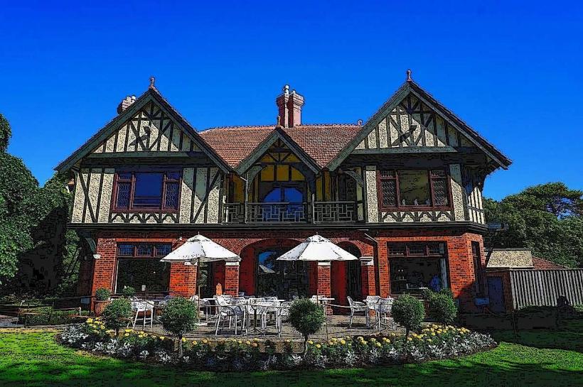
The Sign of the Kiwi, a historic rest house located on Summit Road, was built in 1916 by Harry Ell as a shelter for walkers. It is now a popular viewpoint and picnic spot. A local legend suggests that the distinctive shape of the hills resembles a sleeping giant.
Nearby Landmarks
- Lyttelton Harbour (0.5km South)
- Godley Head (3km East)
- Bridle Path Track (2km Southwest)
- Governors Bay (4km Southwest)
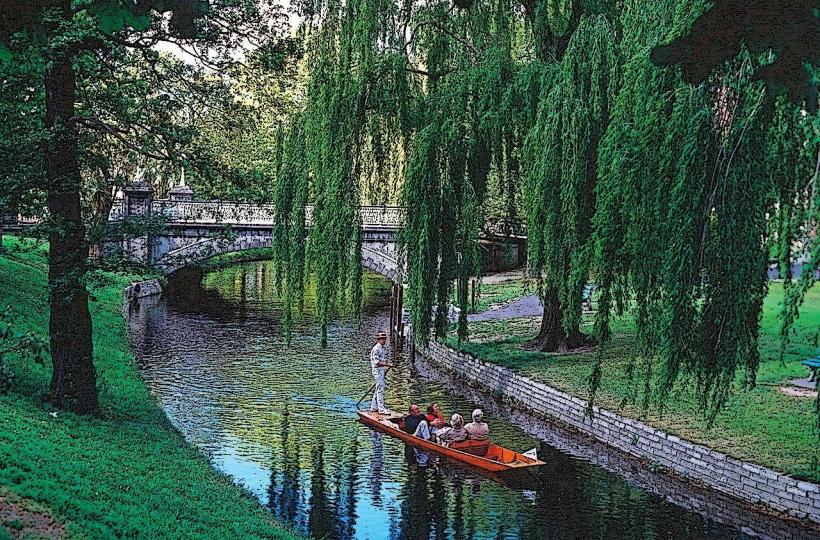
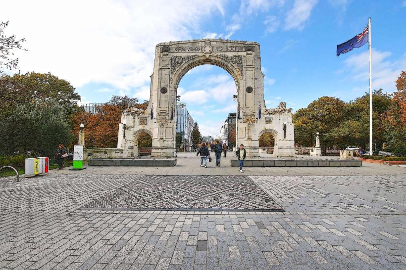
- Christchurch Botanic Gardens (10km Northwest)