Information
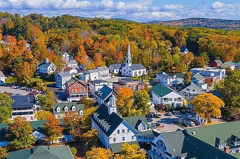
Landmark: Ragged MountainCity: Wolfeboro
Country: USA New Hampshire
Continent: North America
Ragged Mountain, Wolfeboro, USA New Hampshire, North America
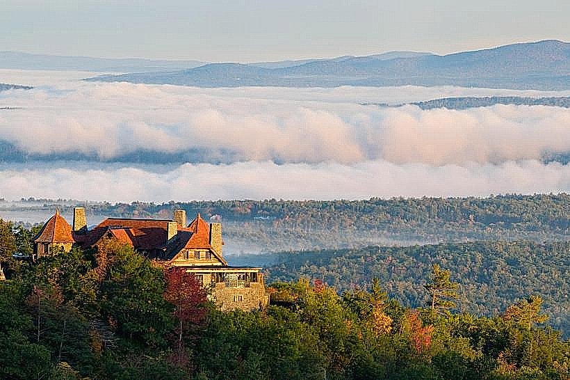
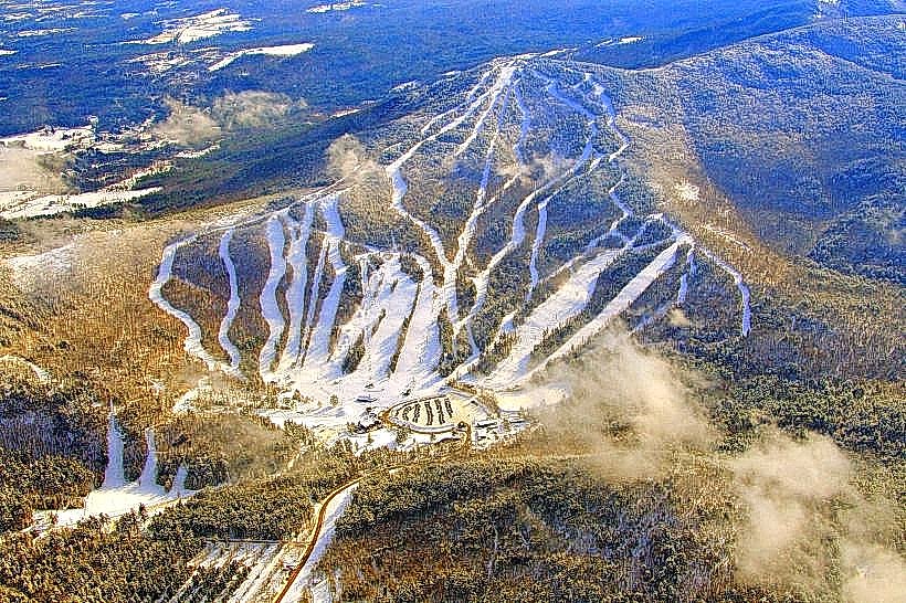
Ragged Mountain is a prominent geological feature located in Wolfeboro, New Hampshire. It is a significant elevation within the local landscape.
Visual Characteristics
Ragged Mountain exhibits a rugged, uneven topography characterized by exposed granite outcrops and dense coniferous forestation. The summit area features a rocky, uneven surface with scattered boulders. The elevation reaches approximately 1,280 feet (390 meters) above sea level.
Location & Access Logistics
The primary access point to Ragged Mountain is via Route 109 in Wolfeboro. The trailhead is located approximately 3 miles (4.8 km) north of the Wolfeboro town center. Parking is available at a designated lot adjacent to the trailhead. Public transport options to the trailhead are limited; the closest bus stop is in downtown Wolfeboro, requiring a taxi or ride-share service for the final segment.
Historical & Ecological Origin
Ragged Mountain is a product of glacial activity and subsequent erosion. The exposed granite formations are remnants of ancient bedrock, shaped by the movement of glaciers during the last ice age. The surrounding forest is a mixed hardwood and softwood ecosystem, typical of the New England region.
Key Highlights & Activities
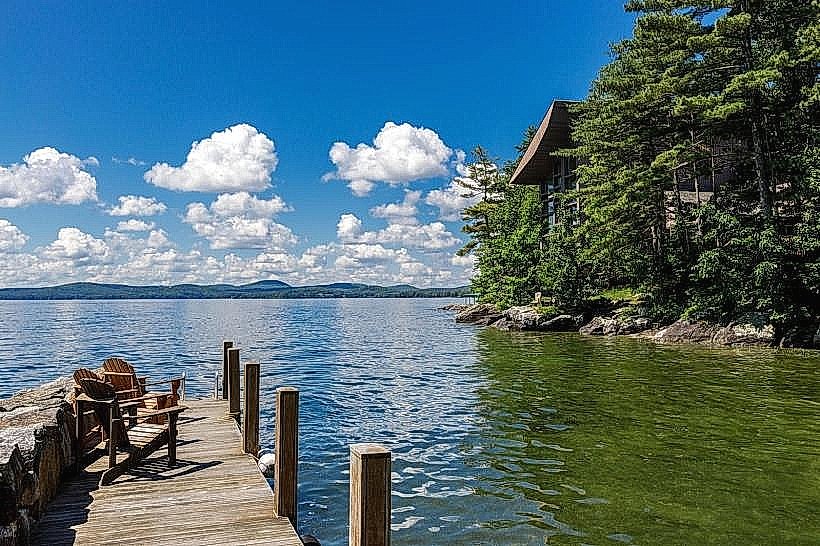
Hiking is the primary activity. The main trail, Ragged Mountain Trail, is a moderate 2.5-mile (4 km) loop. The summit offers panoramic views of Lake Winnipesaukee and surrounding hills. Rock scrambling is possible on certain exposed sections of the trail.
Infrastructure & Amenities
A small, unpaved parking area is available at the trailhead. No restroom facilities are present at the trailhead or on the trail. Cell phone signal is intermittent to non-existent on the mountain. No food vendors are located at the site; visitors should bring their own provisions.
Best Time to Visit
For optimal hiking conditions and clear views, the months of May through October are recommended. Mid-morning (9:00 AM - 11:00 AM) provides good lighting for photography, avoiding harsh midday sun. Fall foliage offers significant visual interest in late September and early October.
Facts & Legends
Local lore suggests that the mountain's uneven shape is the result of a giant's attempt to flatten it for a game of bowls. A verified historical fact is that the mountain was a significant landmark for early settlers navigating the area.
Nearby Landmarks
- Wolfeboro Historical Society Museum (1.5km South)
- Cotton Valley Rail Trail (2.0km South)
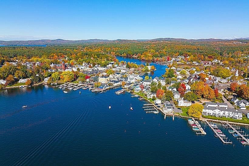
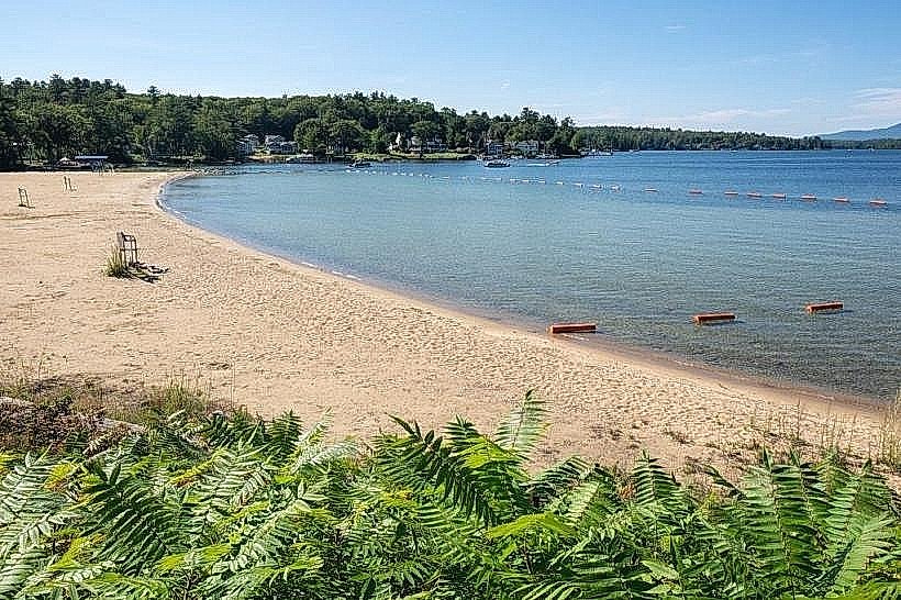
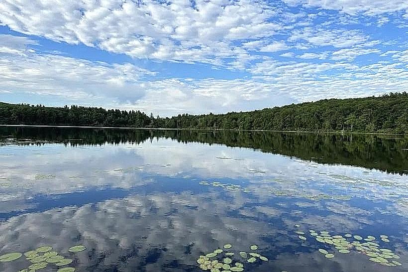
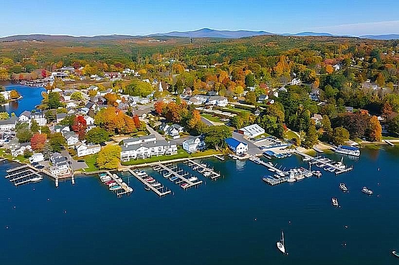
- Lake Winnipesaukee (3.0km West)
- Brewster Academy (3.5km South)
- Opechee Park (4.0km Southwest)