Information
Landmark: Rosalie BayCity: Salisbury
Country: Dominica
Continent: North America
Rosalie Bay, Salisbury, Dominica, North America
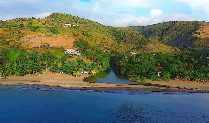
Rosalie Bay is a coastal area located on the eastern side of Dominica, near the village of Rosalie.
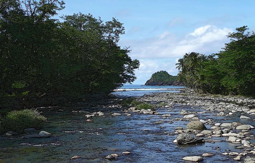
It is characterized by its black sand beach and the confluence of the Rosalie River with the Caribbean Sea.
Visual Characteristics
The beach consists of dark, volcanic sand. The Rosalie River, which empties into the bay, is typically a clear to slightly turbid freshwater stream. The surrounding vegetation is dense tropical rainforest, with a prominent volcanic peak, Morne Trois Pitons, visible in the distance.
Location & Access Logistics
Rosalie Bay is situated approximately 35 kilometers east of Dominica's capital, Roseau. Access is via the East Coast Road (Highway 3). The drive from Roseau takes approximately 45-60 minutes. Parking is available at designated areas near the Rosalie Bay Eco Lodge. Public transport options are limited; local minibuses operate along the East Coast Road, requiring a transfer in larger villages like La Plaine.
Historical & Ecological Origin
The bay is a product of volcanic activity, with the black sand originating from eroded basaltic rock. The Rosalie River is a natural drainage system for the mountainous interior of Dominica, flowing through a region of significant biodiversity. The area is part of the larger Morne Trois Pitons National Park ecosystem.
Key Highlights & Activities
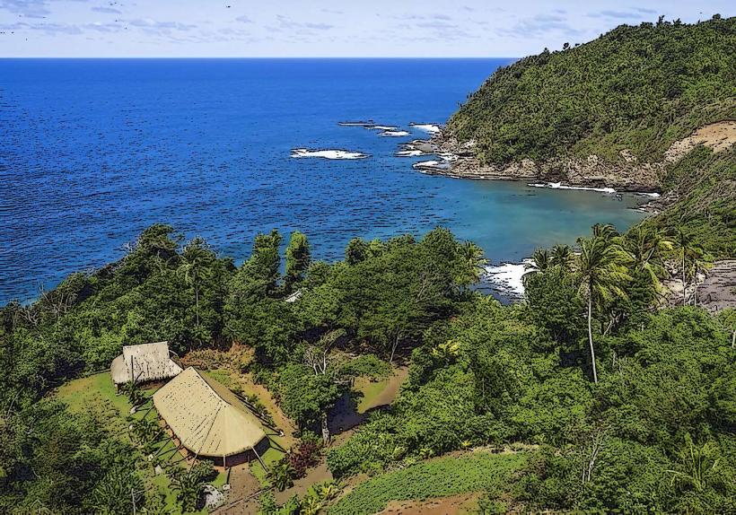
Visitors can observe sea turtle nesting sites during the season (typically March to October). Hiking trails are accessible from the nearby Rosalie Bay Eco Lodge, leading into the rainforest. The confluence of the river and sea offers opportunities for freshwater and saltwater exploration. Birdwatching is also a common activity due to the diverse avian population.
Infrastructure & Amenities
Restrooms and basic amenities are available at the Rosalie Bay Eco Lodge. Shade is provided by natural tree cover along the forest edge. Cell phone signal (4G) is generally available but can be intermittent. Food vendors are not typically present directly at the bay; dining options are primarily at the lodge or in nearby villages.
Best Time to Visit
For sea turtle viewing, the nesting and hatching season from March to October is optimal. The best time of day for photography is generally early morning or late afternoon when the light is softer. Weather is most favorable during the dry season, from December to May.
Facts & Legends
Local folklore suggests that the bay was once a sacred site for indigenous Kalinago people, used for spiritual ceremonies. A specific tip for visitors is to be aware of the strong currents where the river meets the sea, making swimming in that exact spot inadvisable.
Nearby Landmarks
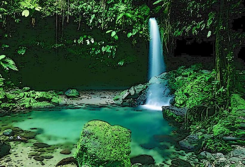
- Rosalie River Waterfall (0.8km North)
- La Plaine Village (3km South)
- Morne Trois Pitons National Park Entrance (5km West)
- Wotton Waven Hot Springs (7km West)