Information
Landmark: Rosalie RiverCity: Salisbury
Country: Dominica
Continent: North America
Rosalie River, Salisbury, Dominica, North America
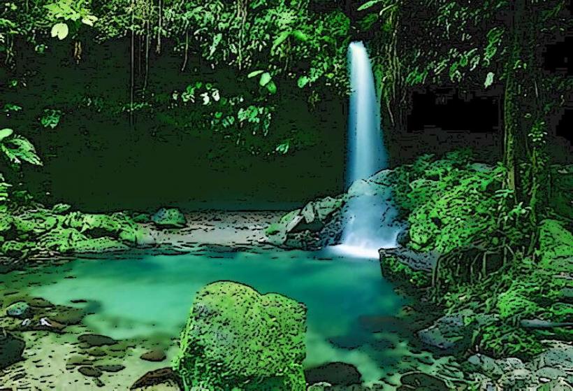
The Rosalie River is a river located in the eastern part of Dominica, flowing into the Caribbean Sea. It is situated within the Rosalie National Forest.
Visual Characteristics
The river's water color varies from clear to a muddy brown depending on recent rainfall. The riverbed is composed of dark volcanic rocks and gravel. The surrounding vegetation is dense tropical rainforest, characterized by large trees, ferns, and vines. The river's width averages 15 meters, with depths ranging from 0.5 meters in shallow sections to over 3 meters in deeper pools.
Location & Access Logistics
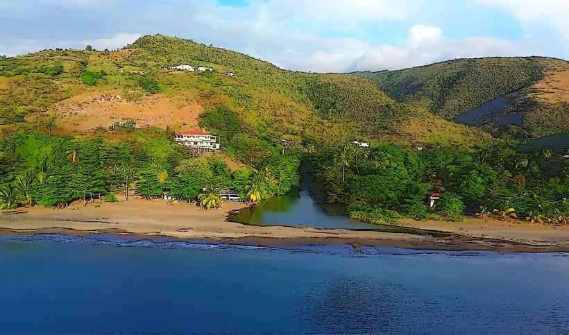
The Rosalie River is located approximately 35 kilometers east of the capital city, Roseau. Access is via the East Coast Road (Highway 3). From Salisbury, travel east on Highway 3 for approximately 20 kilometers. Turn south onto the unpaved road signposted for Rosalie Village. The river is accessible from this road, with parking available at designated pull-off points near the river mouth. Public transport options are limited; local minibuses operate along Highway 3, requiring a transfer to a taxi or a significant walk from the nearest bus stop.
Historical & Ecological Origin
The Rosalie River is a natural watercourse formed by the drainage of the eastern slopes of the Morne Trois Pitons massif. Its geological origin is tied to volcanic activity, with the riverbed and surrounding terrain shaped by erosion of volcanic rock over millennia. The river is part of the Rosalie National Forest, an area designated for conservation of its biodiversity and natural resources.
Key Highlights & Activities
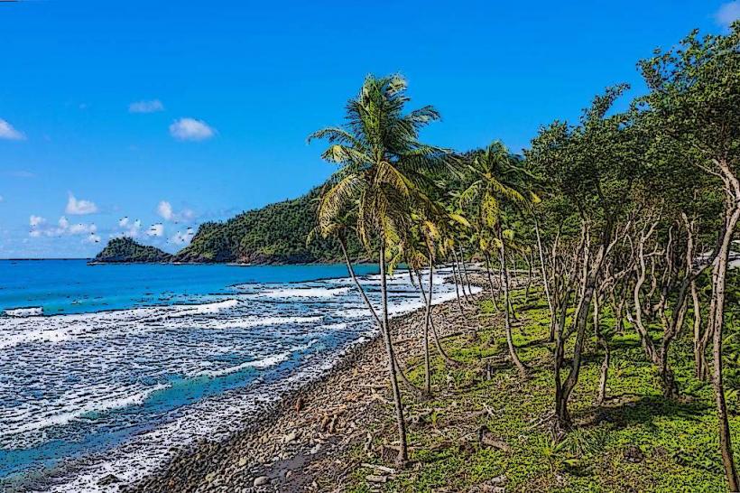
Activities include observing the river's flow and surrounding rainforest. Swimming is possible in designated calm pools during dry periods. Birdwatching is a primary activity due to the diverse avian population in the adjacent forest. Hiking trails are present in the wider Rosalie National Forest area, though direct river access trails are limited.
Infrastructure & Amenities
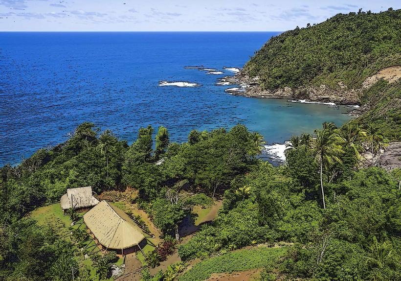
There are no formal facilities directly at the river. Restrooms are not available. Shade is provided by the dense forest canopy. Cell phone signal (4G/5G) is generally unreliable in this remote area. Food vendors are not present at the river; provisions should be made in nearby villages like Rosalie.
Best Time to Visit
The best time of day for observing the river's clarity is in the morning, before potential afternoon rainfall. The dry season, from February to May, offers the most stable conditions with lower river levels. High tide can affect the accessibility of the immediate river mouth area.
Facts & Legends
Local folklore suggests that the river's currents can change unpredictably, a characteristic attributed to the spirits of the forest. A specific point of interest is the confluence where the river meets the sea, often a site for observing sea turtles nesting during specific seasons.
Nearby Landmarks
- Rosalie Bay Eco Resort (0.8km South)
- Morne Trois Pitons National Park (5km West)
- Wotten Waven (12km Northwest)
- Emerald Pool (15km Northwest)
- Boiling Lake (18km West)