Information
Landmark: Salisbury RiverCity: Salisbury
Country: Dominica
Continent: North America
Salisbury River, Salisbury, Dominica, North America
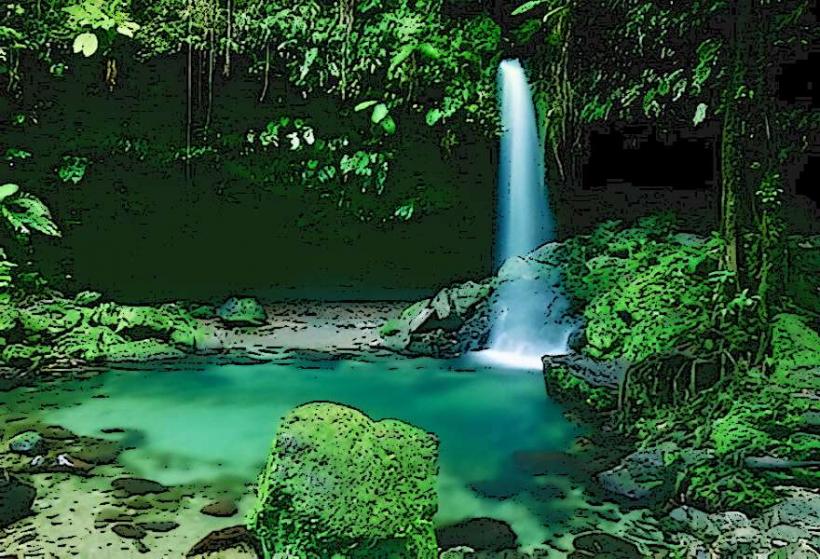
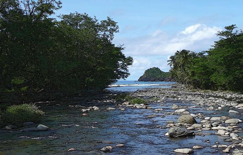
The Salisbury River is a river located in the northwestern part of Dominica. It flows through the village of Salisbury.
Visual Characteristics
The river channel is characterized by a mix of smooth, water-worn stones and exposed bedrock. Vegetation along the banks consists of dense tropical foliage, including ferns and broadleaf trees. The water clarity varies, often appearing clear to light brown depending on recent rainfall. The riverbed gradient is moderate, with some sections featuring small cascades and pools.
Location & Access Logistics
The Salisbury River is situated approximately 35 kilometers northwest of the capital city, Roseau. Access is via the primary coastal road, the E.O. Leblanc Highway. Turn off the highway into the village of Salisbury. Parking is available on the side of local roads near the river access points. Public transport options include the D3 bus route, which runs between Roseau and Portsmouth and stops in Salisbury.
Historical & Ecological Origin
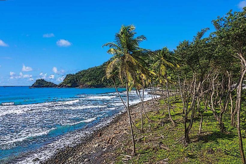
The Salisbury River is a natural watercourse formed by the island's mountainous interior and volcanic geology. Its drainage basin is part of the Northern Forest Reserve. The river's formation is a result of consistent rainfall and erosion over geological time, carving its path through the volcanic rock and soil of Dominica.
Key Highlights & Activities
Wading in shallow sections of the river is possible during dry periods. Observing the local flora and fauna along the riverbanks is a primary activity. The river is a source of freshwater for the local community.
Infrastructure & Amenities
Restrooms are not directly available at the river access points. Shade is provided by the surrounding tree canopy. Cell phone signal (4G) is generally available in the village of Salisbury. Food vendors are located within the village center, a short walk from the river.
Best Time to Visit
The best time of day for observing the river's natural state is during daylight hours. The dry season, from February to May, offers lower water levels and clearer conditions. During the wet season (June to November), water levels can rise significantly, making access more challenging.
Facts & Legends
Local folklore suggests that the river's currents can change unpredictably after heavy rainfall, a characteristic attributed to the spirit of the mountain. A specific tip for visitors is to wear sturdy, water-resistant footwear due to the uneven riverbed.
Nearby Landmarks
- Morne Diablotins National Park (10km Northeast)
- Portsmouth (15km North)
- Cabrits National Park (18km North)
- Roseau (35km Southeast)